My Summer Road Trip
August 5, 2014

My Summer Road Trip
August 5, 2014
Previous Day Next Day
Part 2 of this day
Back to Main Page
|
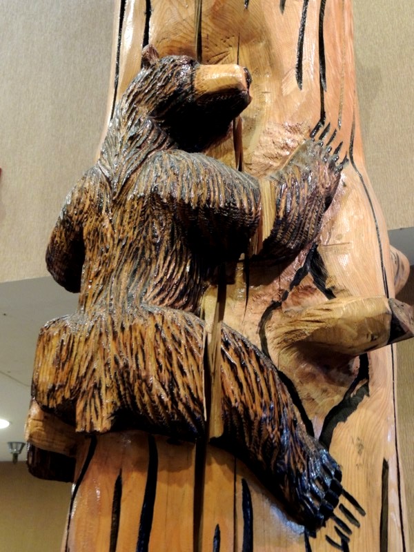
In the lobby of my motel, there was a cute "totem" with bears climbing up it. This wasn't the first example of "log art" I'd come across (nor would it be the last). |
|
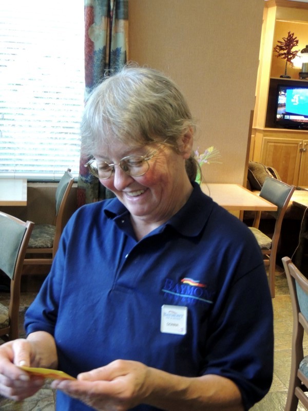
Here's the motel's number one ambassador... Donna, in the breakfast area. This lady chatted with people, gave them tourist information on places they might be discussing. |
|
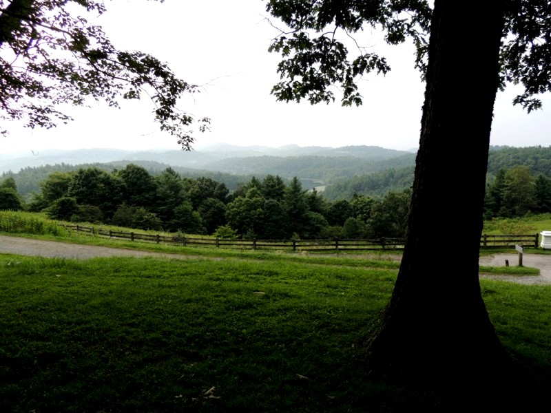
I travelled south on US321 to get to the Blue Ridge Parkway again. I hadn't travelled far on the Parkway when I came to the Moses H. Cone Memorial Park. |
|
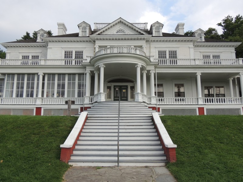
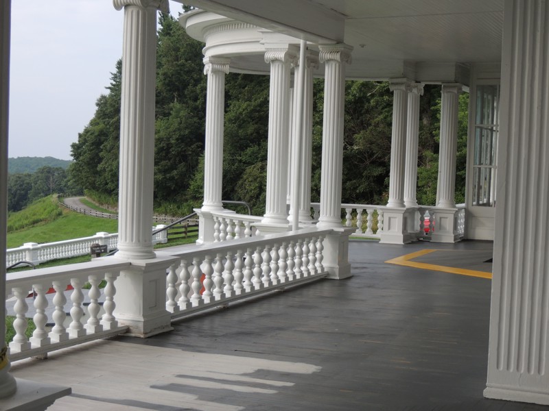
Flat Top Manor is its centrepiece. Interesting story behind it being an attraction on the Parkway... Evidently, the Cone family did not want anything to do with the Parkway BUT when the last of them died off, the manor was left to a hospital. The hospital could not afford its upkeep and the taxes so the house and land did eventually get enveloped into the Parkway system. |
|
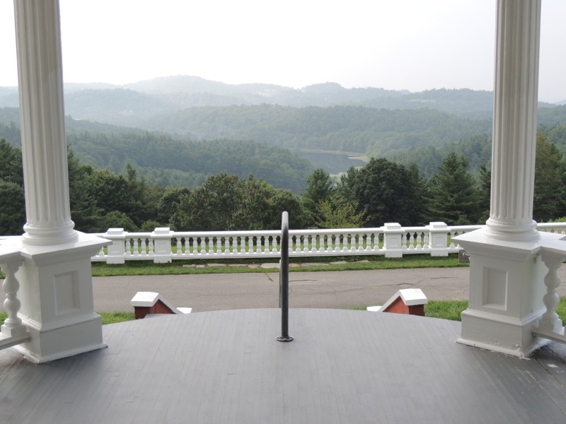
What a view from the front porch! |
|
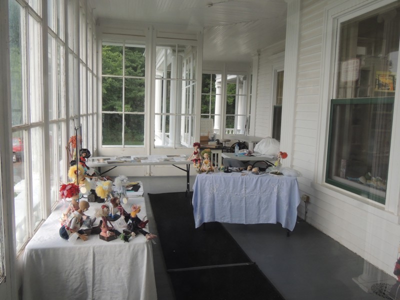
The Manor is used as an Arts and Crafts Center. Here, you can learn "how to" as well as purchase local artisan work. Lucky for me it was still early in the morning (pre 9 am) and the gift shop was closed. The things I peeked at through the windows were SOOOOO tempting!! |
|
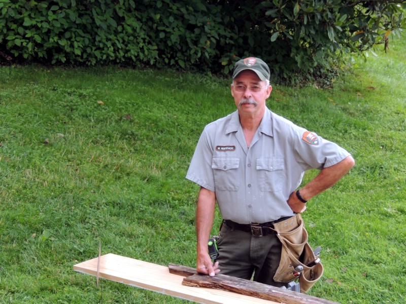
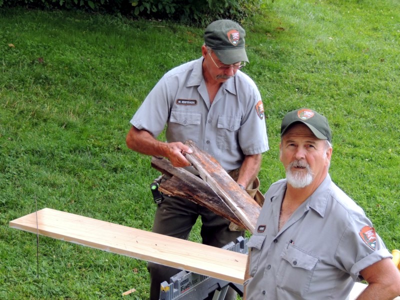
This is the gentleman who gave me all the information on the Manor and its current use. |
|
He and his partner were replacing rotting boards on the house and painting their handywork. |
|
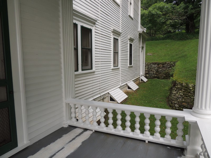
Evidently the Manor has 20 rooms. In its time, it would have been miles from most places... secluded yet opulant for when important visitors arrived. |
|
Having seen the front of the Manor and now seeing its depth, you can see just how huge it is. |
|
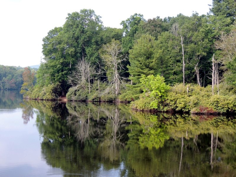
Here is Sims Pond. |
|
Just another lovely area to pull off the road and have a picnic. |
|
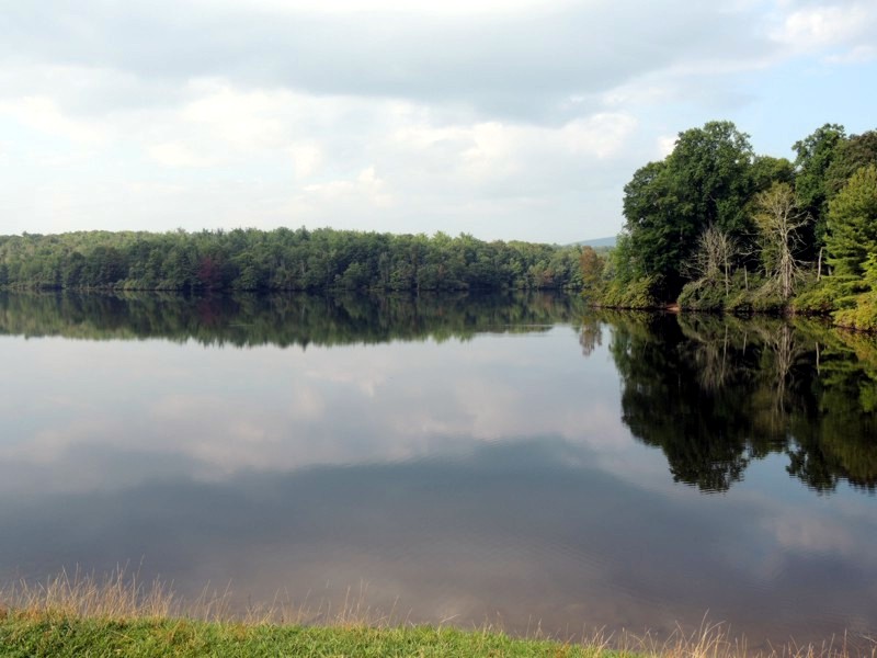
Just a big up the road, this is Price Lake. |
|
At this time, it was hard to determine whether it was going to be a beautiful day (some blue sky) or a horrible one (heavy clouds). |
|
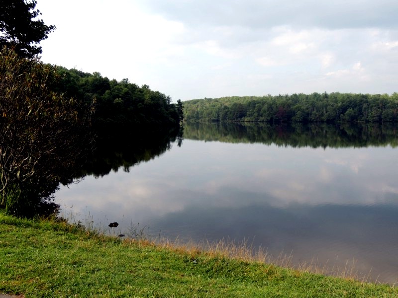
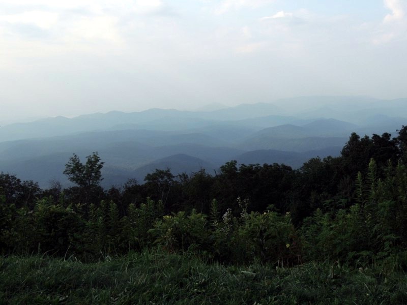
No matter which, the views were still spectacular. |
|
Speaking of spectacular views... |
|
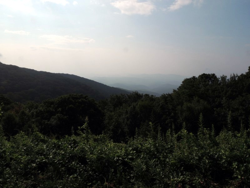
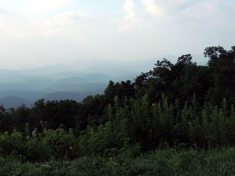
The lush greenery and the blue mountains disappearing into the distance... |
|
This is my favourite shot of the Blue Ridge of mountains. |
|
JUST off the Parkway was the entrance to Grandfather Mountain. I about it in a magazine then looked it up on the Internet and quickly decided it was a place where I wanted to visit. |
|
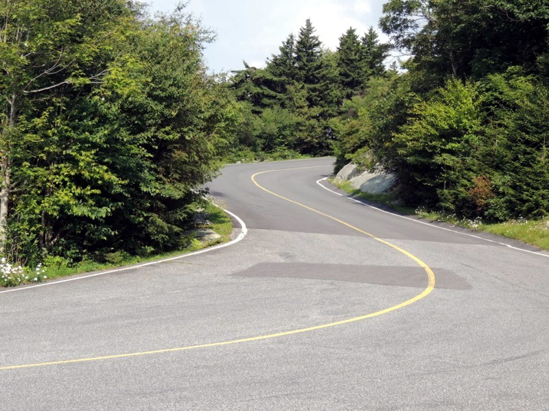
The road up the mountain had a 20 MPH limit, and trust me, with other people on the road you might not even want to do that at the corners of the switchbacks. |
|
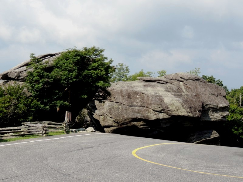
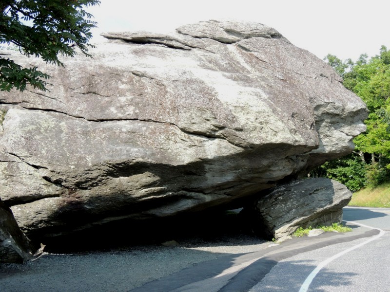
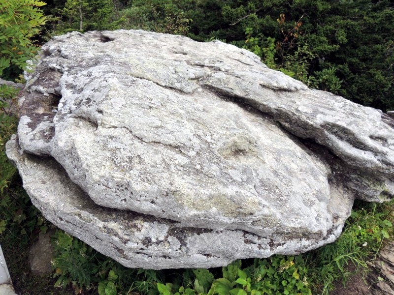
They call this Split Rock. Evidently the rocks are older than the mountain. |
|
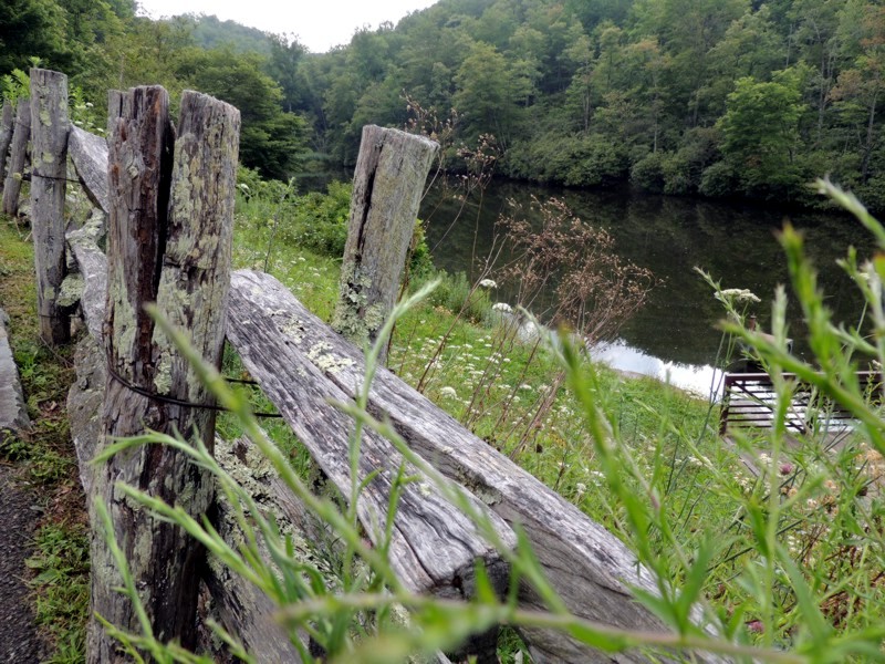
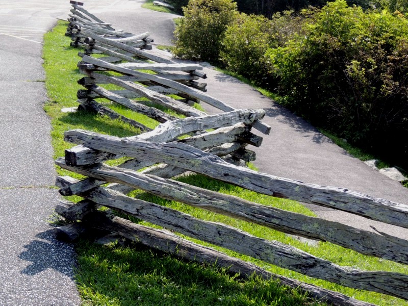
I saw this fence in many areas in North Carolina. No hardware, the fence is created by stacking. Period. |
|
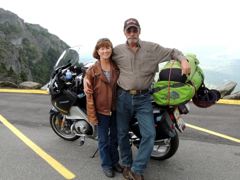
When I got to the top of the mountain, I met up with Patti and Don. I'd met Don the previous night when I looked for a place to park my bike for the night. At his prompting, I parked my Beamer next to his. He probably wondered at my reluctance to park at the back of the hotel (away from my window) but maybe he's not been stranded in a strange place because of a strange circumstance. In the end, i knew he'd be keeping an eye on HIS bike so mine was also OK. Nobody backing over my bike THIS trip. Patti and Don are from Florida. They'd been on THEIR "roundabout" for awhile and were headed home after visiting North Carolina. |
|
Inside the gift shop, there was an elevator taking you "to the top" of the peak with the swinging bridge. Since I was already IN the shop, I opted to take the lazy way up. I'm glad I did because it gave me THIS perspective of the area. |
|
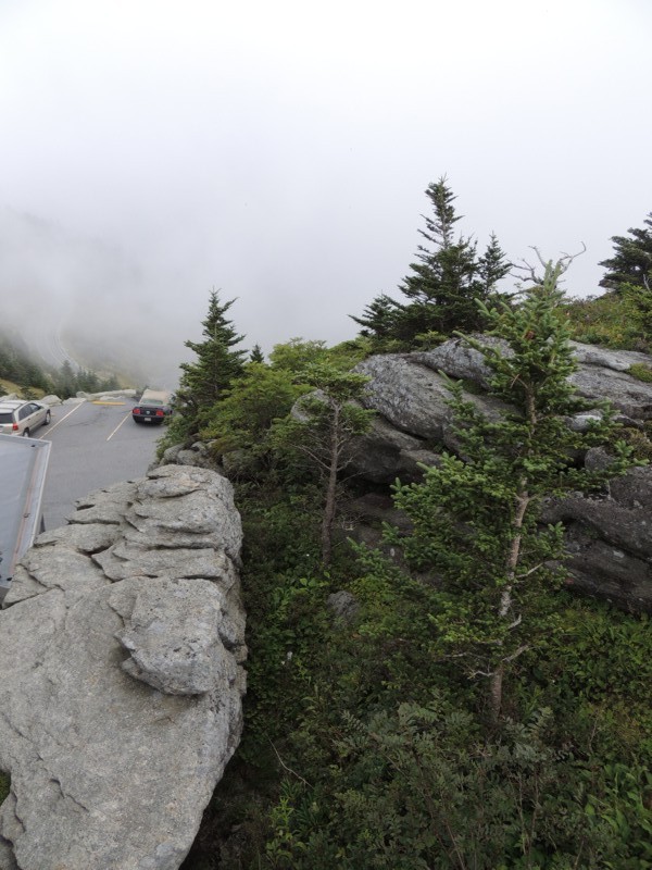
You can see that there was fog all around us... |
|
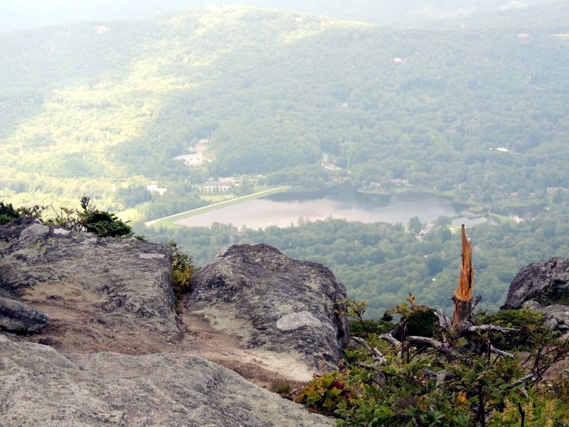
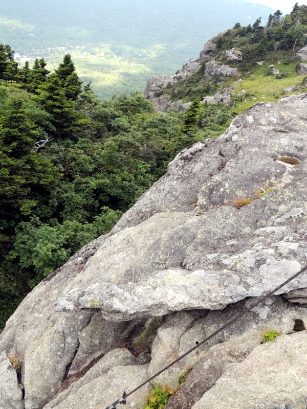
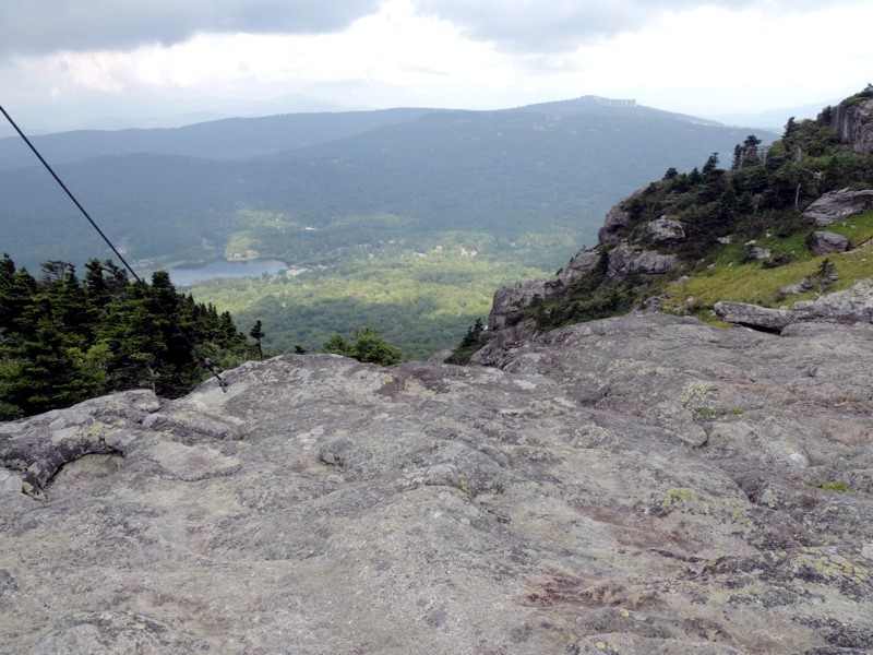
... but it didn't completely obscure my view. From a map, I learned that the water is Linville River and the highway running along side it is 106. |
|
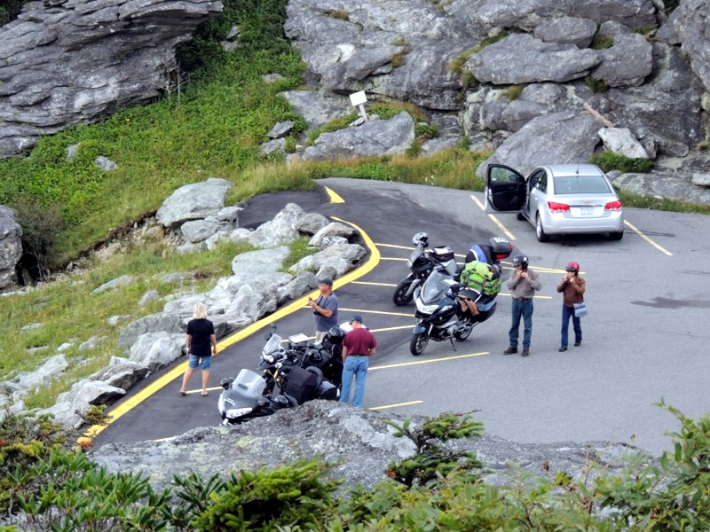
From my "eagle's nest", I could see Patti and Don donning their helmets, gettingn ready to leave. My bike is just behind theirs. |
|
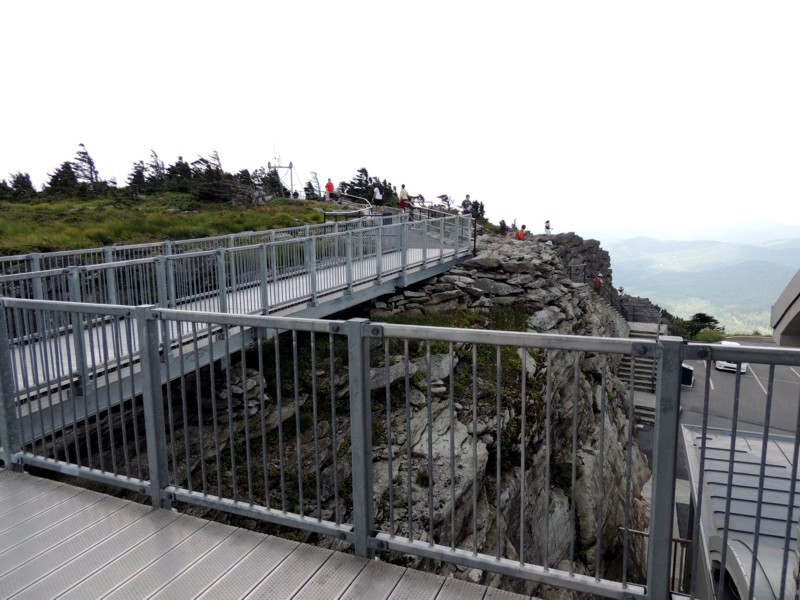
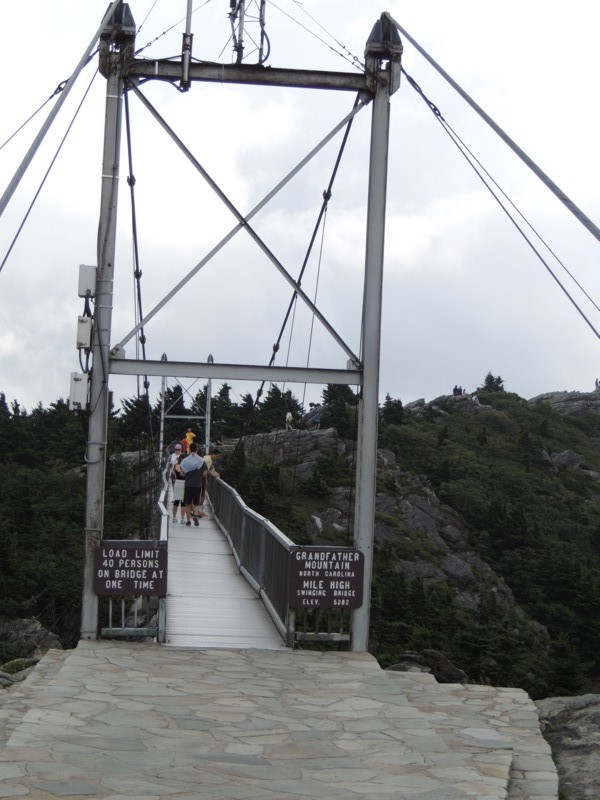
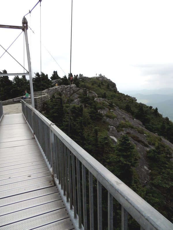
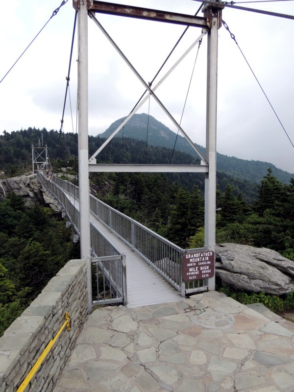
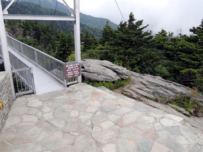
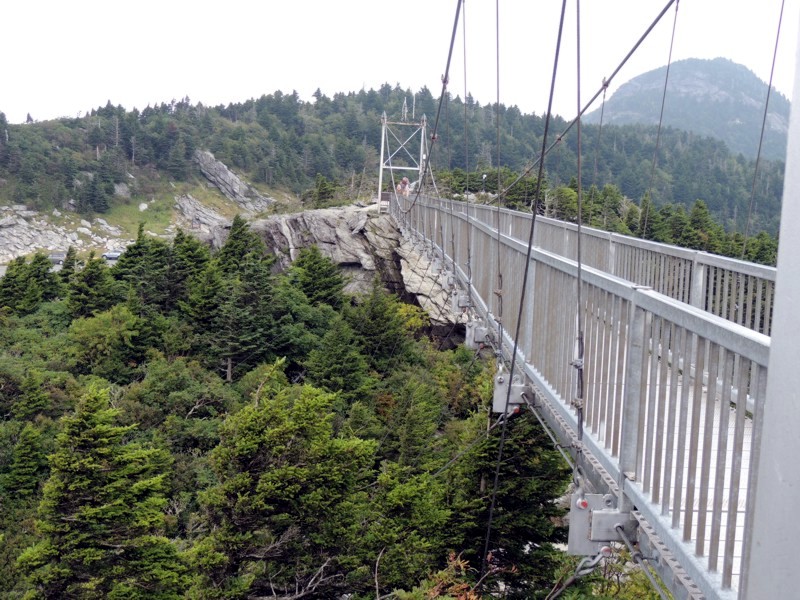
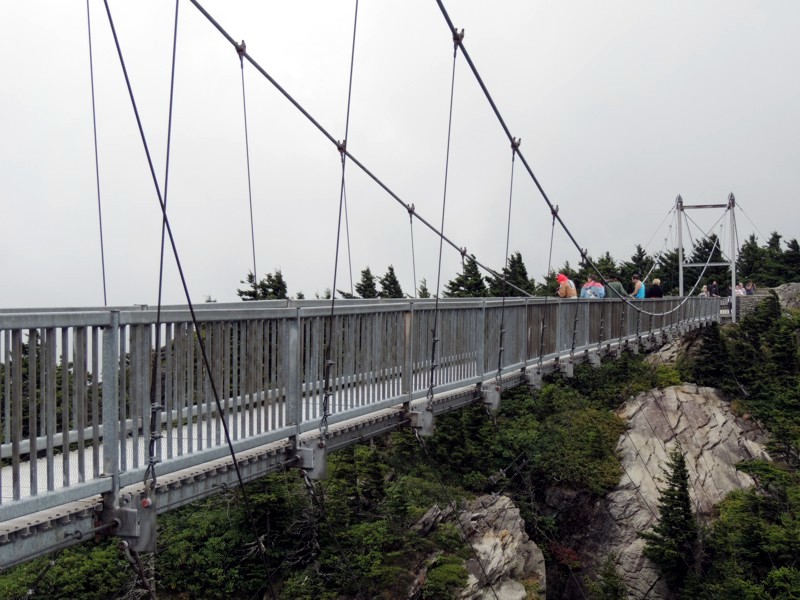
Here's the mile high suspension bridge. I'm supposing it MIGHT have been built to lead from one peak to the other BUT it could just as easily have been built as a tourist draw. |
|
It really doesn't matter. Either way, the views from up there are WAY COOL! |
|
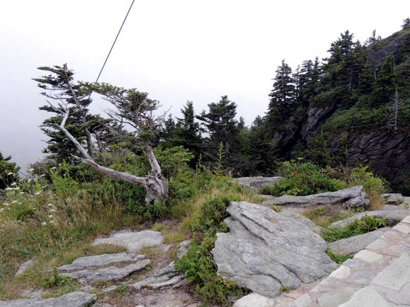
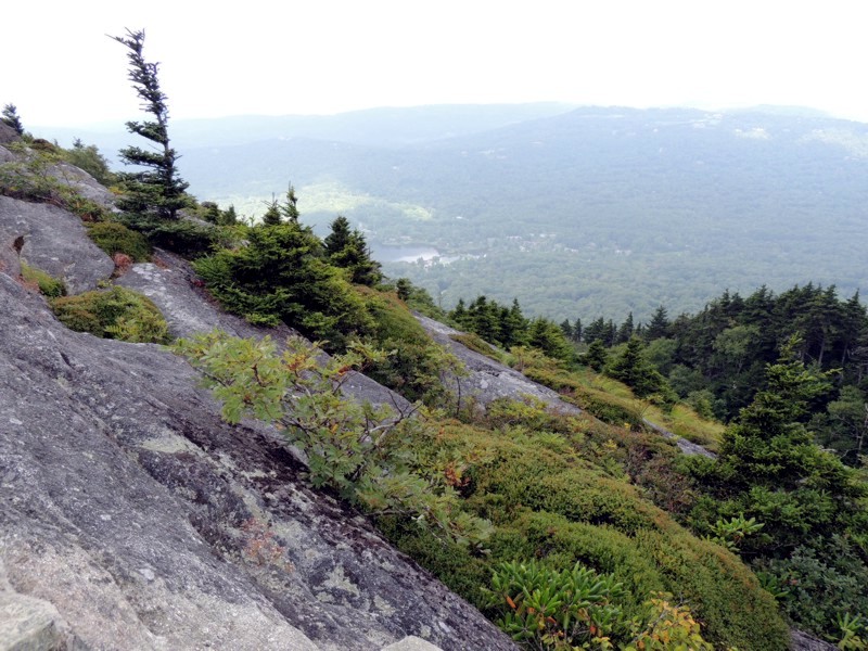
Up there, the rocks are really weathered and the vegetation grows sideways, in the direction of the strongest winds and waters. |
|
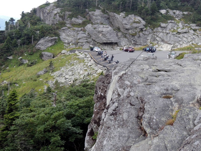
Another view of the Black Rock parking area. I'm glad I left Thor in gear. That would be quite a trip down for him if I hadn't!! |
|
Would anyone be able to prove if this statement is true or false? I suppose with today's GPS technology, it wouldn't be a problem. |
|
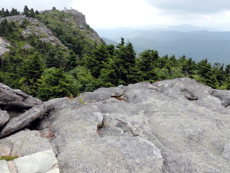
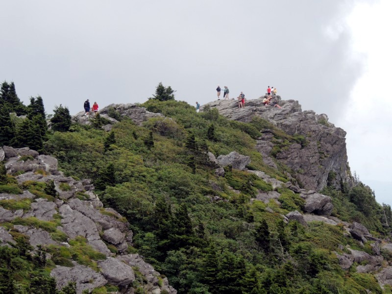
A look towards the far peak from the middle of the bridge. You can see (tiny) people standing at the top of the peak in the distance. *I* would never be that brave. I have too strong a fear of falling although I admit I'd TOTALLY enjoy the view from over there. |
|
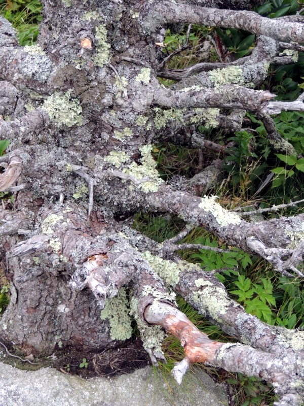
Amazing how trees and shrubs can find the tiniest cracks to plant their roots. |
|
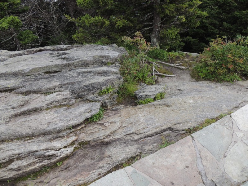
I liked that by using natural rock for the structured pathways, the pathways blended in with the mountain rock. |
|
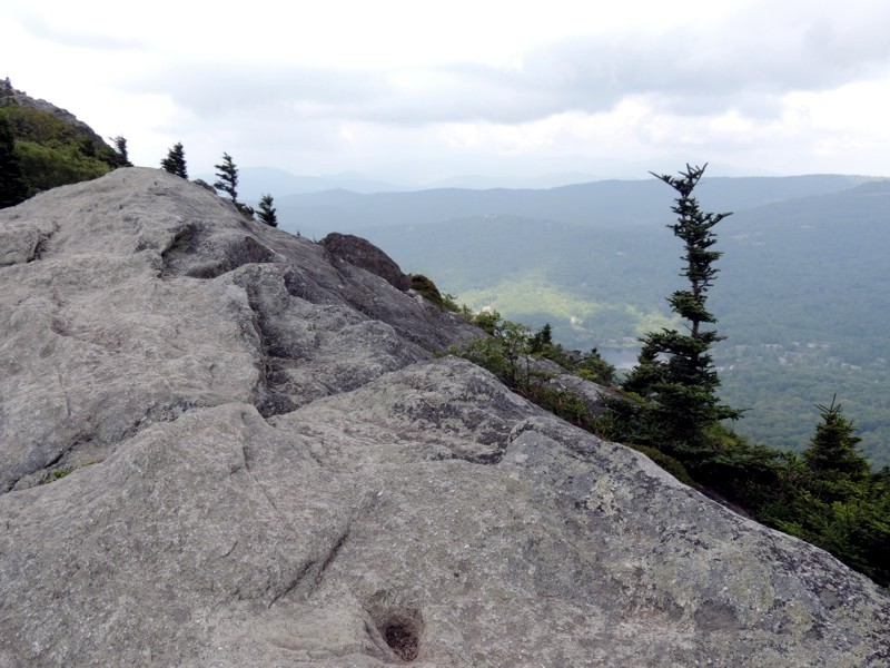
I'm now standing on the far side of the bridge. A view to forever with the textured rock as a bonus. |
|
A view back towards where I'd come from. |
|
I also noted the clouds drifting in towards the mountain. |
|
As I said earlier, I'm not totally sure WHY they built the bridge but it does go over quite a gully. The pine trees in the picture are VERY tall. You are seeing just the top tips of them. |
|
More interesting textured rock. |
|
A view towards Linville. |
|
A different angle, but you're still looking towards Linville, NC. |
|
I found it interesting that water had eroded little "pits" into the rocks. Even today, though it hadn't yet rained, water was pooled in these crevices. |
|
Evidently, there is a hiking trail which crosses under (and obviously below) the bridge. Wonder if these people had seen someone on the trail... |
|
A better view of people adventuring out onto the far peak. I was tempted to hike out there but the ground was really uneven and my balance just isn't what it used to be. |
|
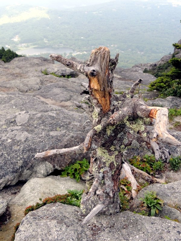
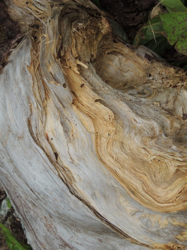
How's this for a unusual tree trunk? |
|
Insects had already found a home in this cracked open tree. |
|
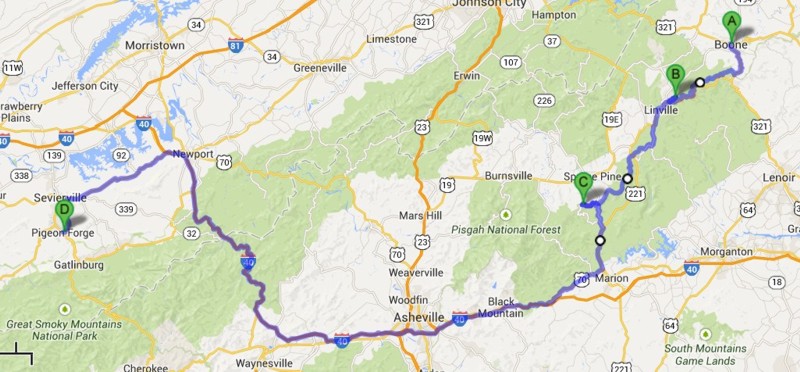
Route: US321 south to Blue Ridge Parkway Blue Ridge Parkway to US221 US221 to Grandfather Mountain US221 to Blue Ridge Parkway Blue Ridge Parkway to New Switzerland Blue Ridge Parkway to 226 226 to US70 US70 becomes I-40 I-40 to 411 411 to Sevierville 71 to Pigeon Forge
This day continues here... |