My Summer Road Trip
August 1, 2014

My Summer Road Trip
August 1, 2014
Previous Next
Back to Main Page
|
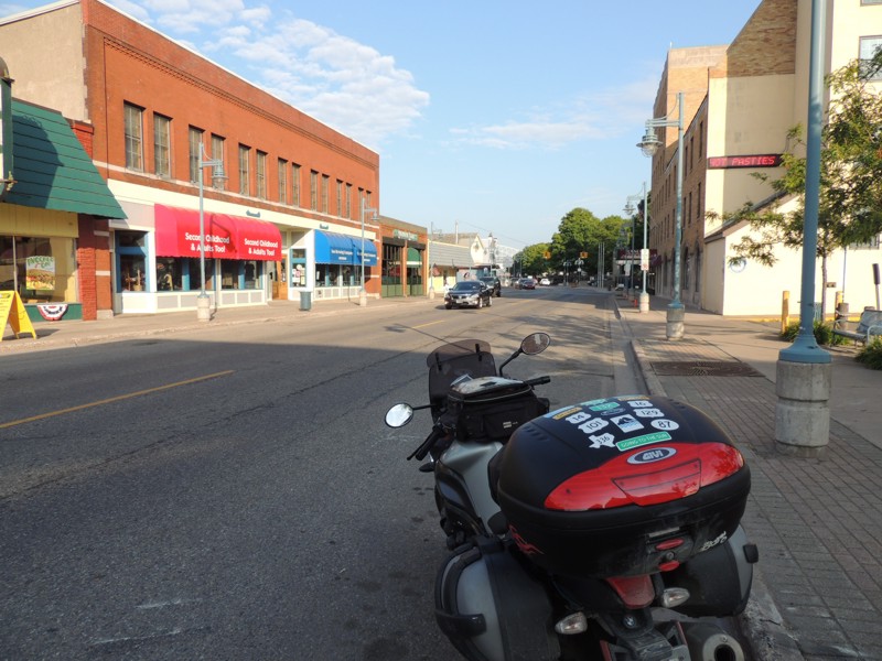
The ride day from h-e-double hockey sticks begins nicely... I stopped briefly in downtown Sault Ste. Marie to check my GPS. Should have known something would go wrong when it wasn't cooperating to begin with. |
|
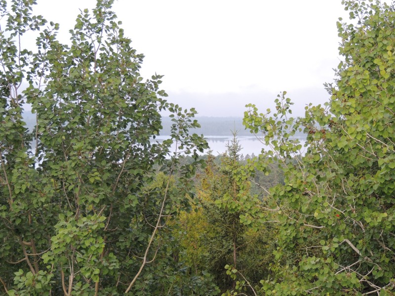
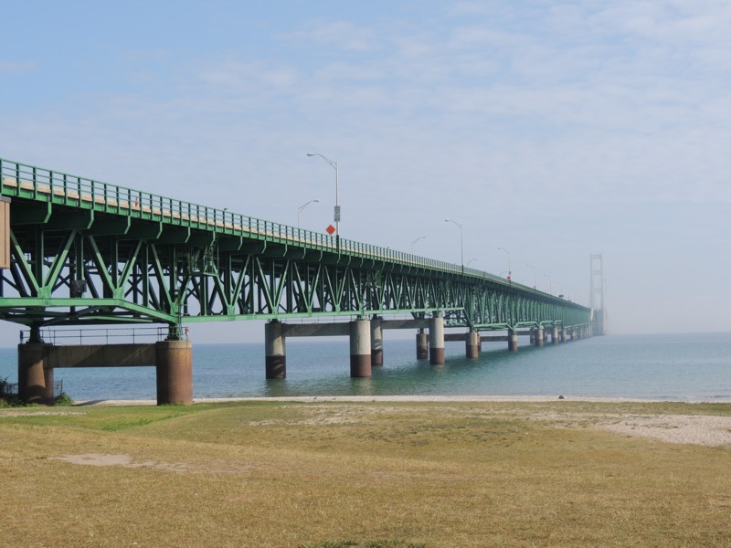
It didn't take too long to get to the Mackinac Bridge Lookout. It was a 60 mile drive but on the Interstate so time went quickly. When I arrived at the lookout, you couldn't see much... |
|
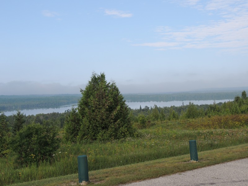
... on the way out of the rest stop, you got better views but still couldn't see the bridge. |
|
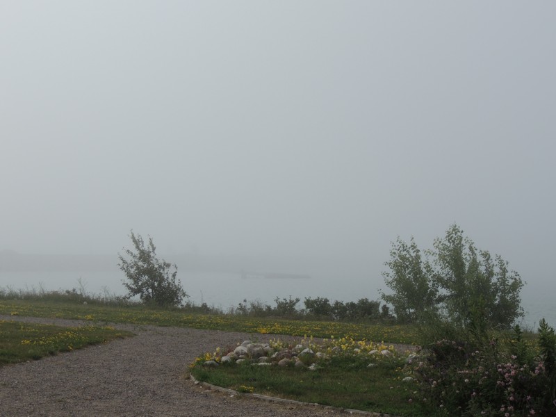
There was a reason for that. Do you see the shadowy strip in the middle of the picture? That's the approach at the north end of the bridge. You couldn't even SEE the bridge. I've been over it before and trust me, it's too big to miss! |
|
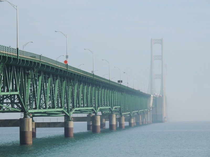
Knowing how foggy it was going to be on the bridge, it just gave me another reason to be in the right lane. There, I could follow traffic as slowly as was necessary AND the extra added bonus is the right lane is concrete whereas the middle lane is metal grating when you're at the centre of the bridge. |
|
By the time I arrived at the south end of the bridge, there was no fog but as you can see, the north end of the bridge is still enveloped in it. |
|
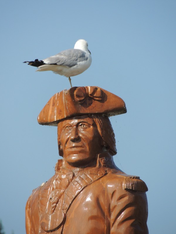
I stopped briefly to take a few pictures in Mackinaw City. This bird found a nice perch close to the fort. |
|
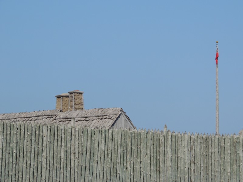
The fort is located on the south shore of the exit to Lake Michigan, just where it turns into Lake Huron. Interesting aside... we often look at maps of North America and the Great Lakes are an obvious geographical feature. How many of us could draw HOW Lake Superior, Lake Michigan and Lake Huron meet? As I rode, I was trying to picture how "the puzzle pieces" fit together and I couldn't have drawn a picture of it. Later that evening, I checked out a map to answer my own question. |
|
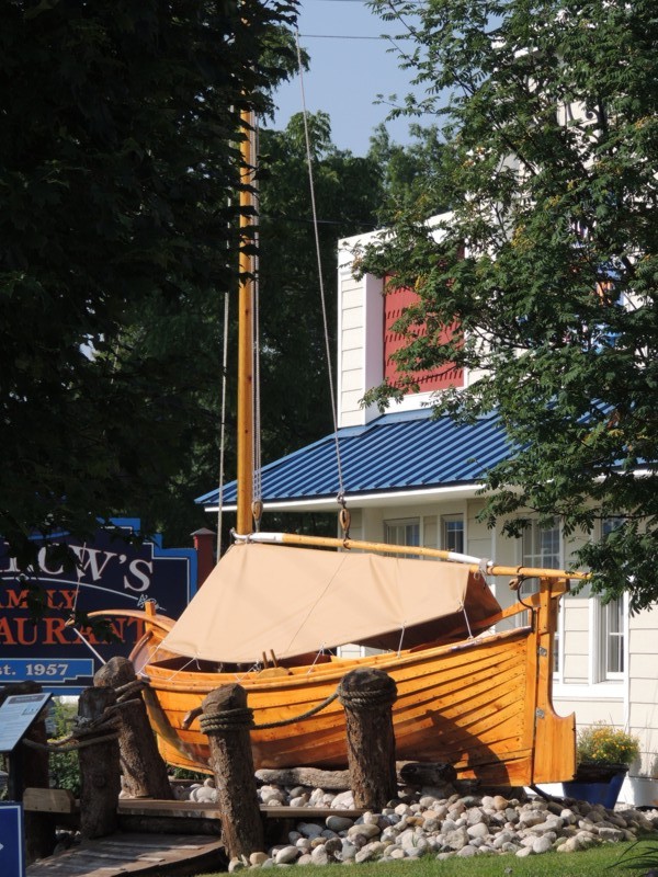
I took a picture of this cool restaurant in Mackinaw City before turning back onto the Interstate. Neat, eh? This is when my journey from he- L L REALLY got started. Not long after leaving Mackinaw City, the interstate was closed and the alternate route was a country road that ran parallel to it. The speed limit was reduced, it was wall to wall trucks (motorcyclists LOVE being sandwiched between trucks!), and there was next to no chance of passing. |
|
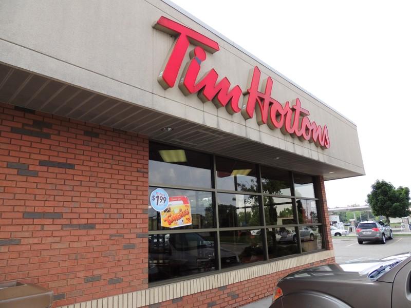
The construction detour seemed to last forever. When I finally found the Interstate again, I was tired from the monotonous driving so I stopped at this Tims in Flint, MI, for coffee. |
|
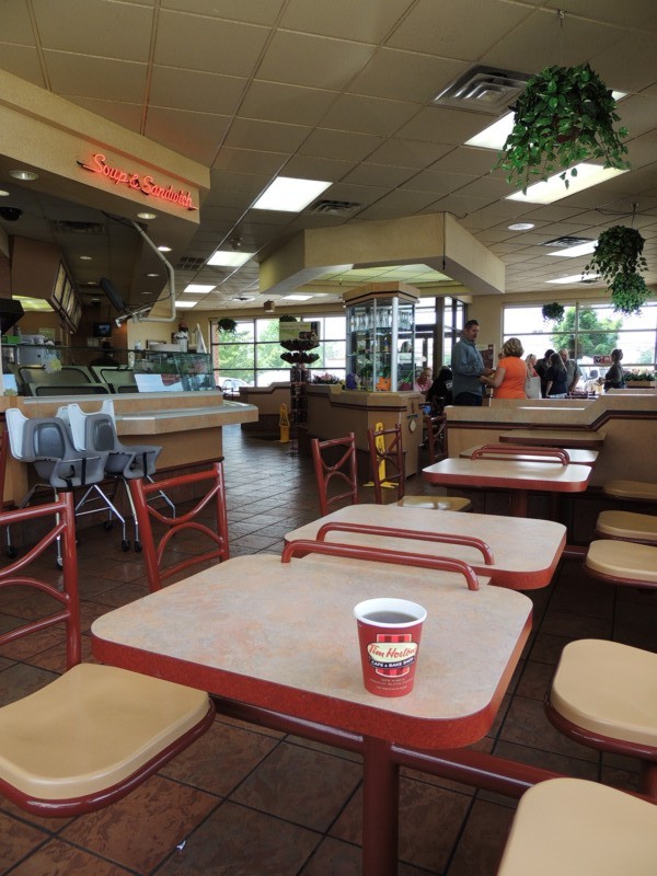
The interior of the Tims was like walking back in time. It was identical to the OLD decor in the Tims I frequent every Saturday with my friends back home. Its location, however, also signified a bad turn to my day. Flint is where Interstate 75 branches out to US23 towards Ann Arbor. Not having a PAPER map in front of me, I forgot this. Due to TONNES more construction, I ended up missing the turnoff to 23 and was headed off to Detroit... without the missing map of Michigan. My GPS thinking I WANTED to take a detour, put me on a highway called Telegraph Road. This highway (4 lanes, 60 MPH, lights at every majpr block) took me through the urban sprawl of Pontiac, Bloomfield, Franklin... I stopped at a gas station to buy a map. No paper maps available any more!! No one knew how to get back to 23. No one knew if Telegraph Road had a US highway number (so I could match it up with the Ohio maps I DID have). No wifi to look it up on the Internet... FINALLY a very helpful lady loaded a map of the area on her smartphone so I could SEE where the GPS was leading me and WHY I was taking this route. |

|
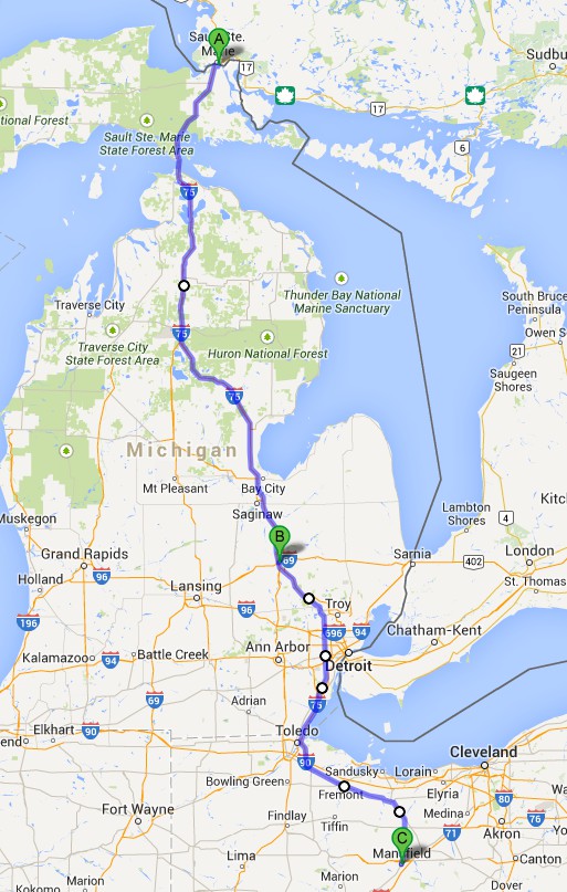
It took FOREVER to get to the end of Telegraph Road (which turned out to be US24) and despite the nice lady advising me to take the interstate to the EAST of where I already was to save time, I just didn't want to deal with 4-5 o'clock traffic in Detroit proper. Detroit's suburbs were bad enough. I had to create an entirely new route (blue) to Mansfield, OH, since I was too far east to travel along my intended route (pink). I never stopped to take a single picture because it was getting later and later and dimmer and dimmer. I DO NOT like to travel on strange roads in the dark. My only stops were to get gas, put on my rain suit (oh yes, this day HAD to include rain!) or just to let my legs uncramp from driving too far without stopping. Too bad since some of the scenery was pretty nice. |
|
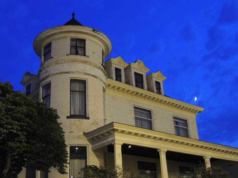
I finally arrived in Mansfield at dusk. I took THIS picture of "the haunted house" which was just beside my motel. |
|
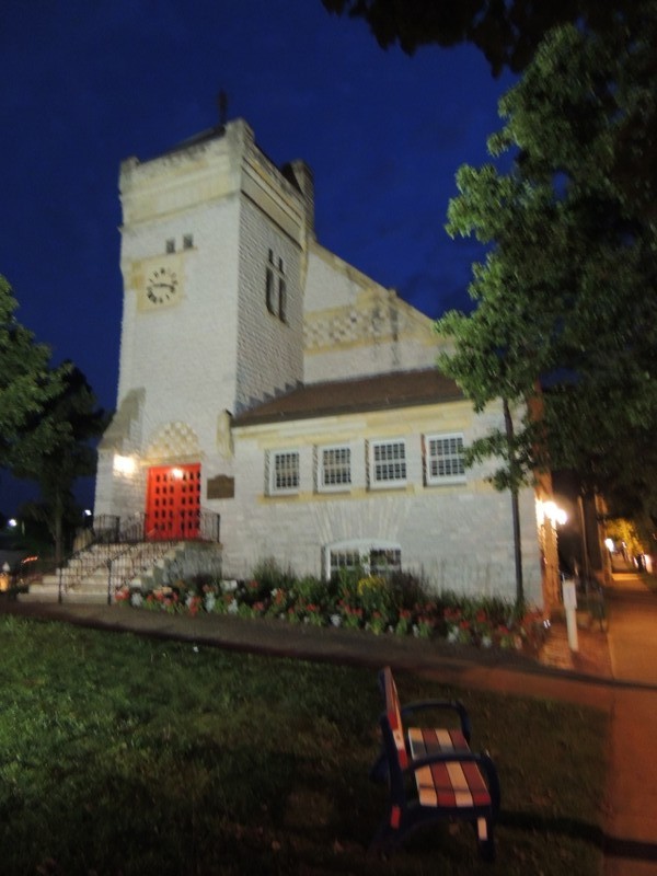
I walked to dinner - no more bike for me THAT day. A half mile walk with my feet actually contacting the ground felt good. I saw this nice church along the way. |
|
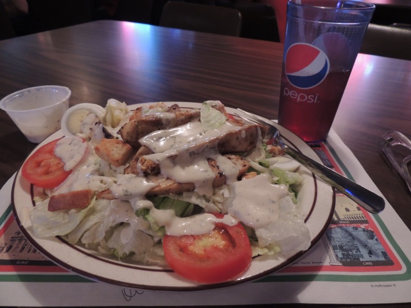
I ended up at MVP's Sports Bar and Grill for dinner. The food was basic but excellent. |
|
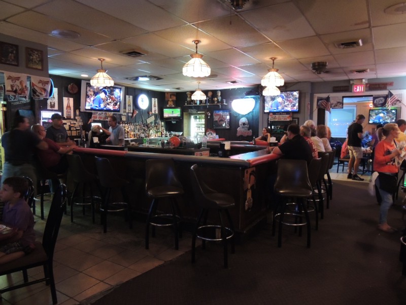
The servers were also good and very friendly. I learned that I was near the Ohio State University at Mansfield (all the decorations on the wall). It was a good end to a bad day. |
|
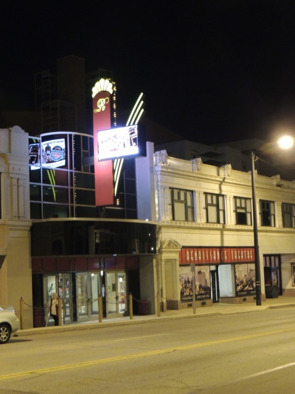
As I walked back to the motel, I noticed the Renaissance Theater across the street. It looked as if there was going to be some really good entertainment coming up in August. Too bad I was only there for a night! I got into my room, promised myself I'd never go anywhere again without a physical map on hand then slipped into la-la land in a jiffie. |
|
Route: I-75 south past Macinac Bridge 27 (Detour I-75) I-75 south past Flint, MI US24 (Telegraph Road) to I-75 I-75 to I-280 I-280 to US20 US20 to US250 US250 to 13 13 to Mansfield, OH |