To Passo dello Stelvio (and back!)

The map below shows the route I took both to and from Stelvio.
|
|
To Passo dello Stelvio (and back!)
|
|
|
Monday was a much brighter day. I headed south from Laives to get to the SS43. |
|
|
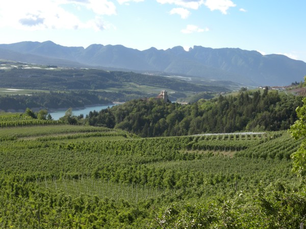
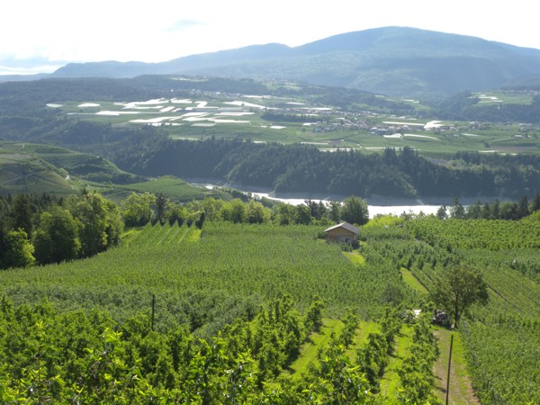
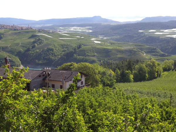
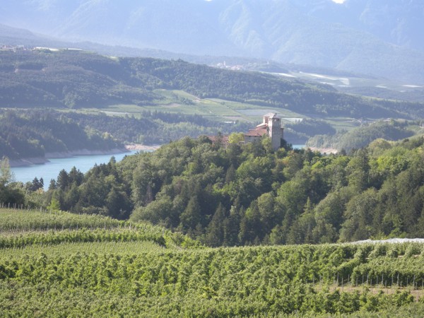
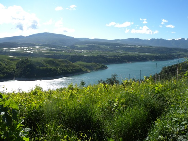
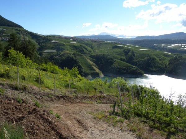
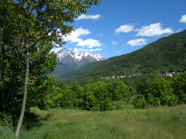
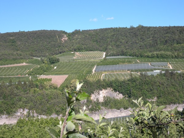
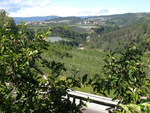
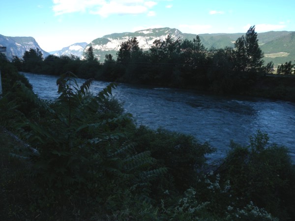
That road followed a river which led to Lago di Santa Giustina. |
|
|
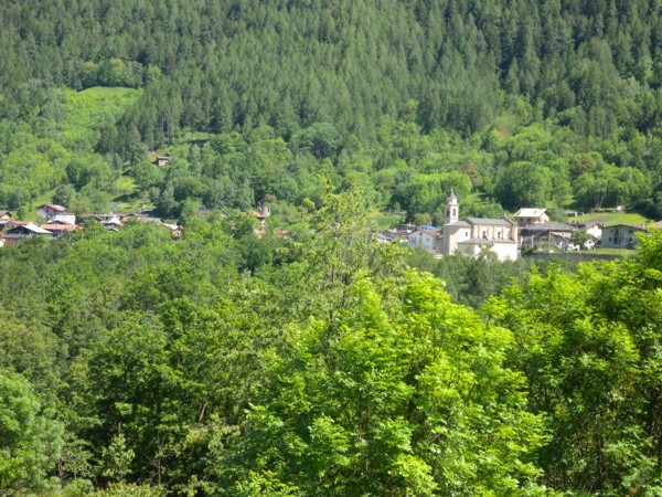
All of this group of pictures was taken in that area. |
|
|
Castel Valer |
|
|
|
|
|
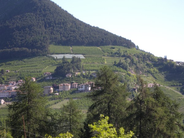
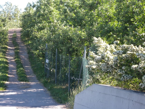
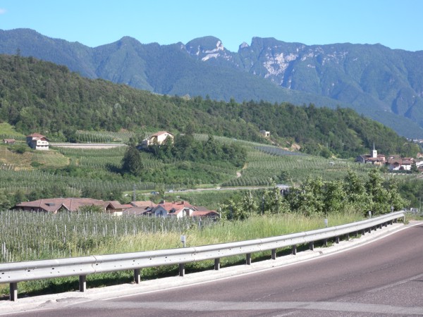
There were many vineyards in the area and from the road, you felt like you could see "forever". |
|
|
|
|
|
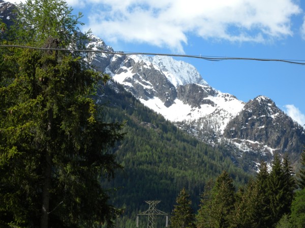
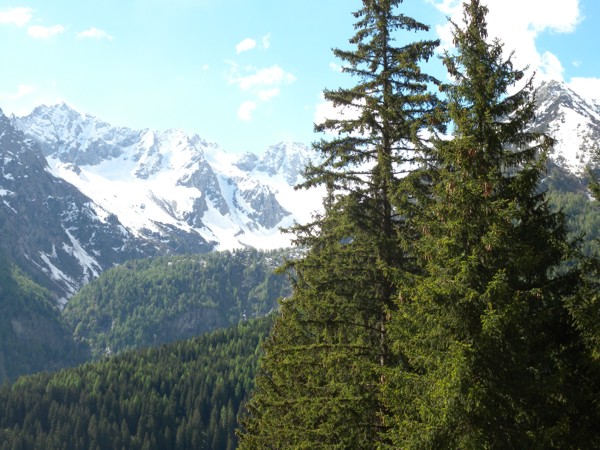
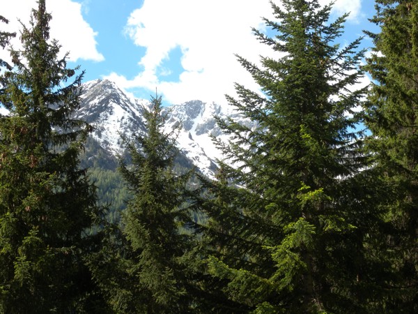
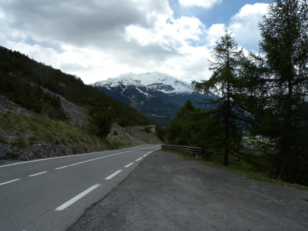
I continued along 43 to SS42 where I headed west through the mountains. There still was lots of snow on the mountains in that area because I was gradually gaining altitude as I travelled along. |
|
|
The road in this area was great to ride. There were long sweeping roads which you could travel at a good pace but I definitely slowed down for the "tornanti". |
|
|
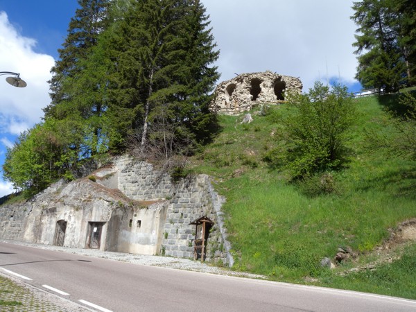
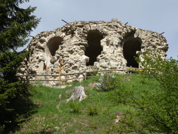
Forte Strino sits above the road just past Vermiglio. |
|
|
Evidently, it was an Austrian fort built to protect the Austrian/Italian border... i.e. Austria lay a lot further south than it does now. |
|
|
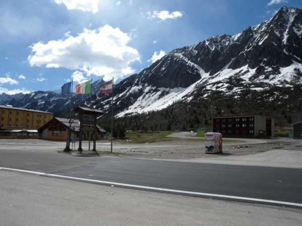
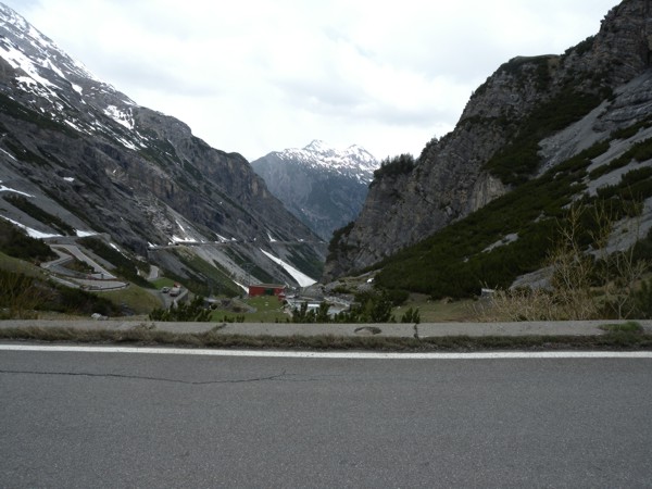
I continued to climb Passo del Tonale... |
|
|
... until I got "to the top", here. |
|
|
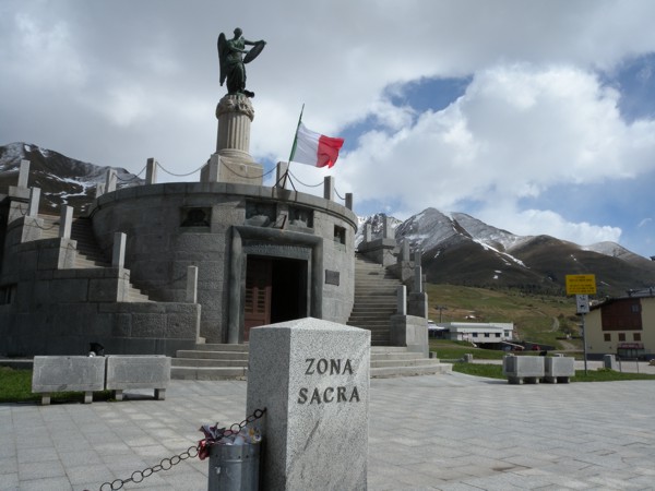
At this location was "Zona Sacra", a patriotic monument. |
|
|
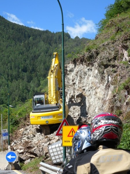
Here, we're on SS39 near Cortena Golgi on the Passo dell'Aprica. Strange to see heavy equipment perched so precariously with the equipment operator so nonchalant. |
|
|
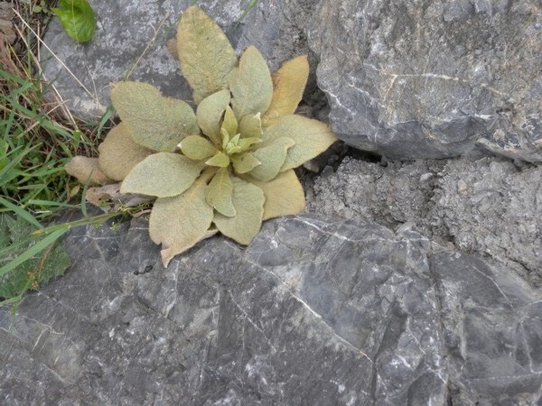
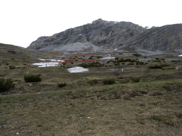
Nature finds a way! |
|
|
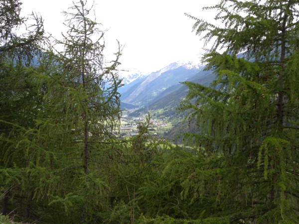
I'm not sure which village this is, but you can see a "pathway" through the mountains along which there are several small towns. |
|
|
Man finds a way of holding nature back... |
|
|
... SLIGHTLY intimidating to ride alongside these walls. |
|
|
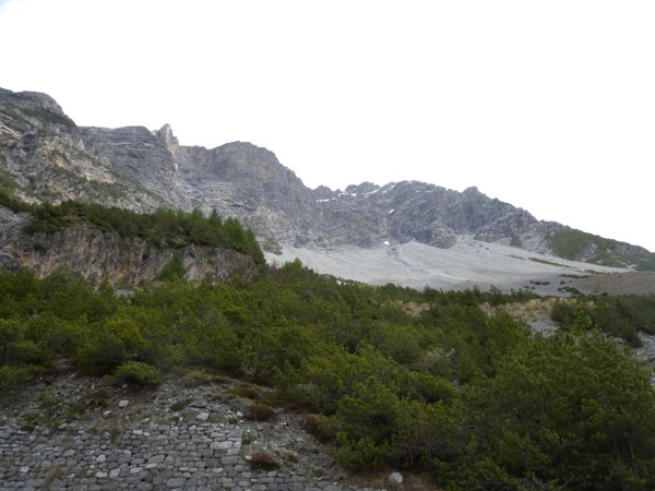
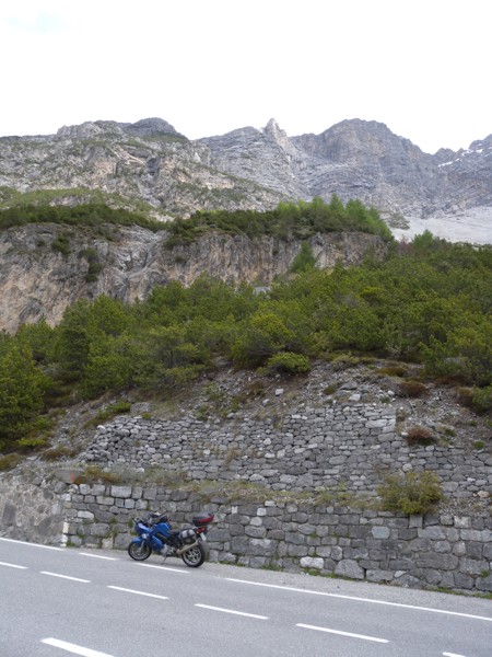
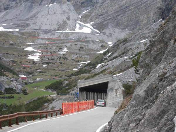
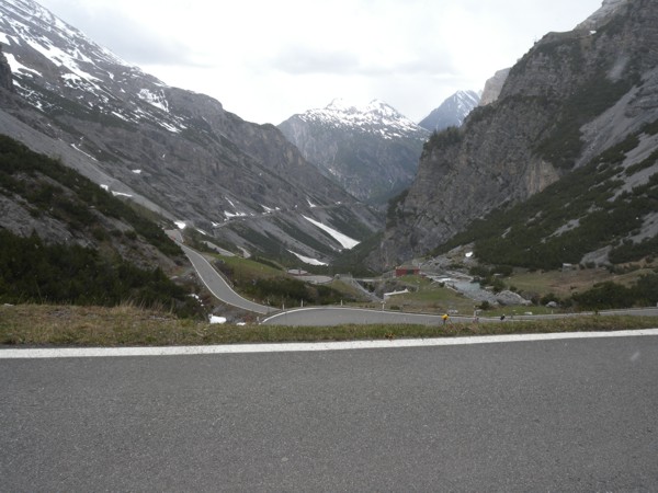
I was now travelling north on SS38 towards Parco Nazionale dello Stelvio. This road epitomized "when you can't go around, go through". There were MANY tunnels through mountains, the longest being one called Sant'Antonio Morignone which was 7925 m long. While travelling through that tunnel, I saw that someone had spray-painted "vive il sole" on one of the turn-outs. I assume that means something like "long live the sun". I know I was glad to see it once exiting that particular tunnel. |
|
|
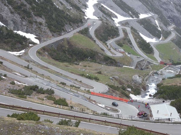
I was finally there! Passo dello Stelvio, one of the "must ride" roads in Italy. My motorcycle had an outside temperature gauge and at this point, the temperature had dropped from 23 degrees celsius to 15. Note that some of the switchbacks were inside "mini" tunnels! |
|
|
This picture was taken a little higher up. |
|
|
Same spot, looking back over what I'd already climbed. |
|
|
To give you an idea of the slope of the road. |
|
|
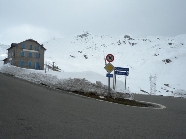
Here, the temperature had dropped to about 7 degrees celsius and you had choices... upwards continued up Passo dello Stelvio (east) OR you could go back downhill to Bormio (assuming the pass was closed. The third option: go north (left just out of the picture) directly into Switzerland using Passo dell'Umbrail. |
|
|
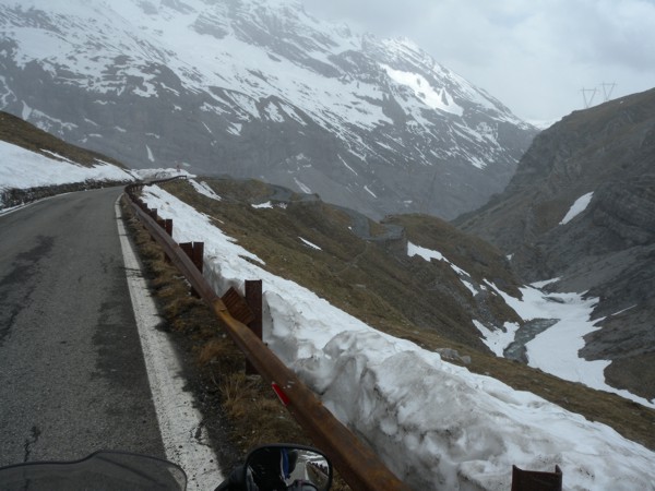
The snow on the side of the road was a bit intimidating, but you MUST realize what MY choice was! (insert HUGE grin here) As I climbed, I worried a bit about my choice. The temperature kept dropping and got as low as -5. At one point, it was actually snowing (not a lot, but snowing) and one hairpin turn had SNOW right on it. I might have turned around BUT at that point, it would have been unsafe to do so AND I was SOOOO near the top, I knew getting down would raise the temperature quickly enough. |
|
|
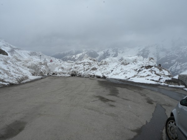
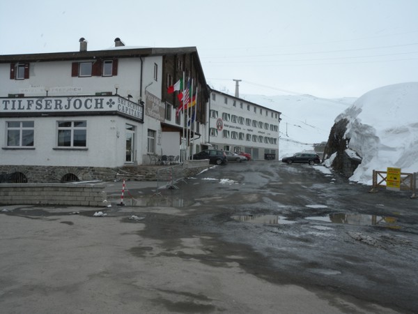
What I hadn't counted on... Right at the top of the pass, THIS greeted me. |
|
|
Evidently, "the pass is open" meant that the SHOPS at the top of the pass were open. The ride down the east side of the pass obviously was not!! |
|
|
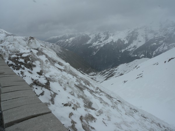
Looking out over the edge, you could JUST make out the road: covered in snow most of the way down! The weather in that direction didn't look too appealing either! |
|
|
When I visited a store on the top of the pass, the lady told me I had two options... Passo dell'Umbrail into Switzerland was open. It would lead me to the same road that Stelvio would have but further north... OR I could go back down the way I came. |
|
|
It was SOOO cold and the weather looked SO bad north and east that I decided to play it safe and go back the way I came. Of course that gave me a few more opportunities to take more pictures! |
|
|
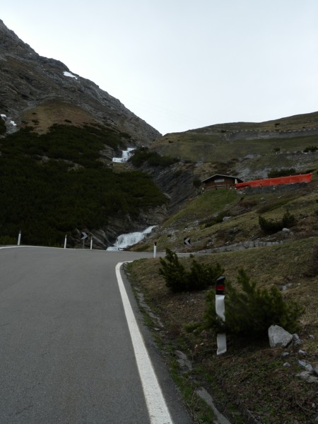
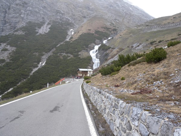
Can you see the running stream in the right hand side of the picture? |
|
|
You can see the stream running to the chalet here. |
|
|
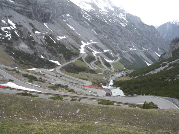
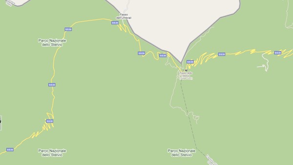
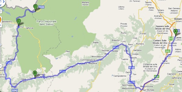
To get an idea of the Stelvio road, refer to this map. I got as far as "Passo dello Stelvio" before I had to turn back. The Swiss road is at the top centre of the photo. |
|
|
As interesting a trip down as up! |
|
|
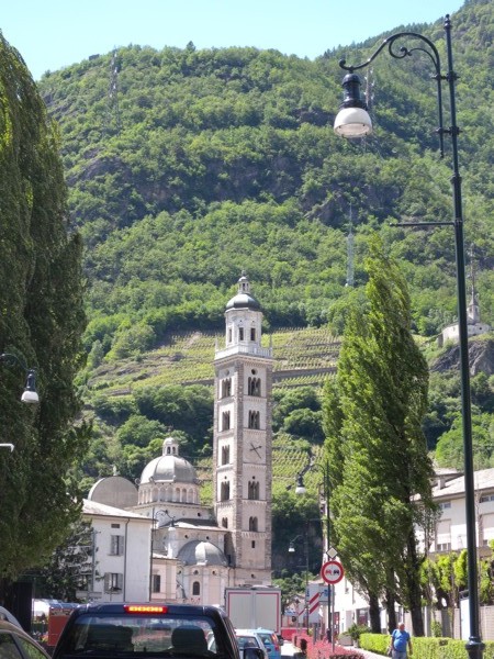
Somewhere near where SS38 meet SS39. I LOVED this clock tower! I had plenty of time stopped in traffic to snap a picture while I still was on the bike. |
|
|
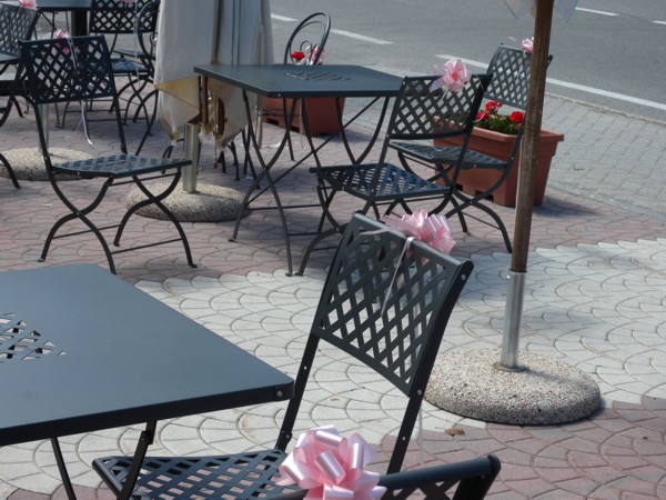
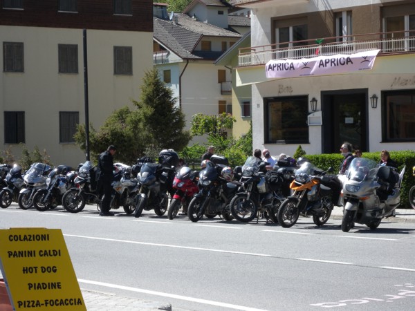
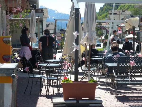
I stopped in Aprica for lunch because it was "dressed up" so nicely! |
|
|
I picked this place for lunch because of the decorations on the chairs... |
|
|
... and because of the vehicles parked across the street who were also eating lunch here. |
|
|
This group was on a regular (day's) ride. |
|
|
Another small town nestled into the mountains. |
|
|
It might have been Santicolo or another town in its vicinity. |
|
|
I didn't stop much after that. I was worried about beating the sunset. However, I needed to stretch my legs and what better place than by a pretty agricultural area? |
|
|
The pictures are taken near Taio on SS43. |
|
|
|
|
|
|
|
|
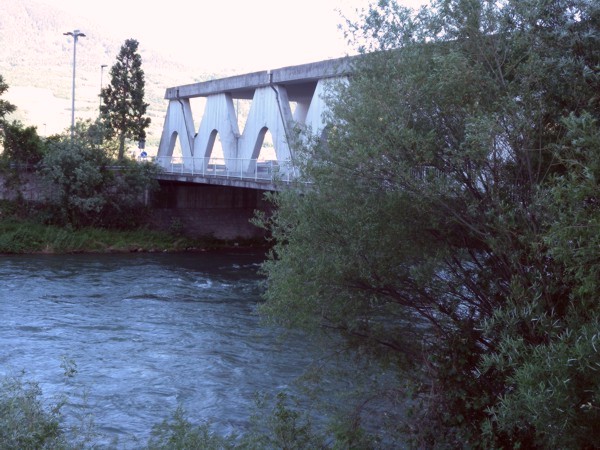
You can see that the sun was definitely getting lower but I couldn't resist stopping to take a picture of this interesting bridge... |
|
|
... and the river that ran under it. I don't know the name of the river but the picture was taken near Mezzolombardo. |
|
|
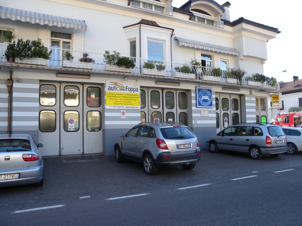
I soon arrived back in Laives and saw this Italian version of a service station which I'd previously overlooked. |
|
|
When I parked my bike, I met Fritz from Austria. He and his friend were in the area to ride the Dolomites. He was disappointed to learn that Passo dello Stelvio was closed but said there were many other roads that he and his friend liked a lot. The map below shows the route I took both to and from Stelvio. |
|
|
Return to main page. Previous page. Next page. |