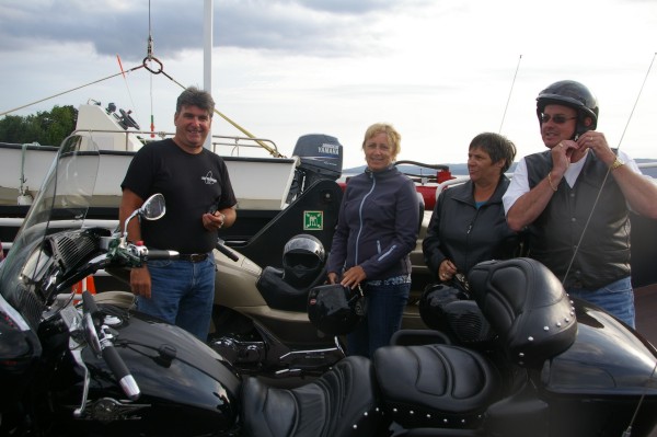
On the ferry I met some local riders. They were very friendly and it was nice to chat with them if only briefly... remember... puddle!
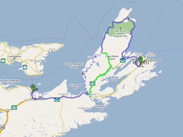
Day 10Pictou, NS to Sydney, NS |
|
|
With some advice about roads to the Cabot Trail from Roy & Sheila (a Nova Scotian couple from the area), my approach to the Cabot Trail was modified so that I would safely be off the trail before dusk and the moose came out. |
|
|
I met Roy and Sheila at a Tim Horton's in Auld's Cove where I had stopped for a morning coffee. We had a lovely chat and Roy gave me a new route to the Cabot Trail. I learned some things from them about my destination and also that a hurricane was on the way. |
|
|
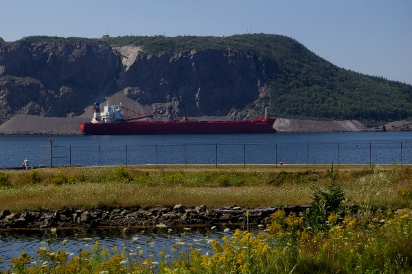
A ship loading/unloading (?) gravel at the Strait of Canso. |
|
|
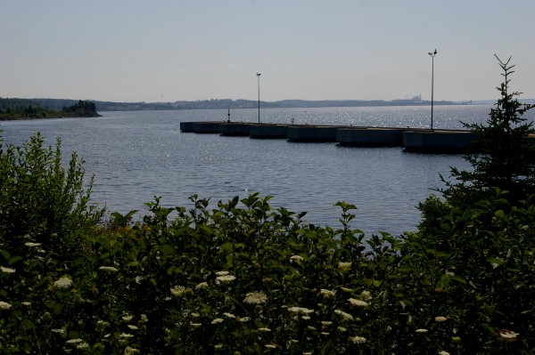
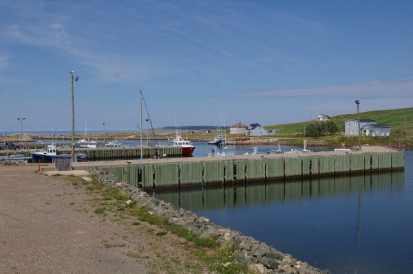
Docks at the causeway. |
|
|
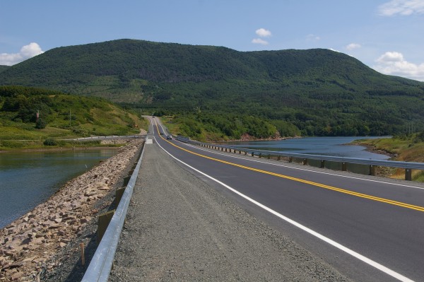
A view along the Canso Causeway. Can you see the bridge at the near end? |
|
|
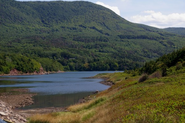
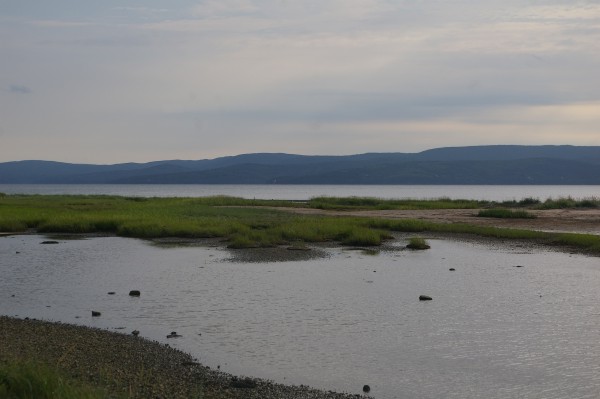
A view of Whycocomagh Bay. |
|
|
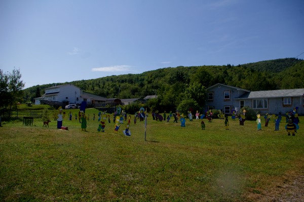
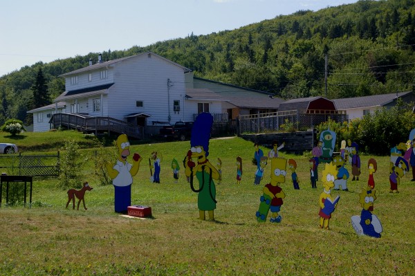
As I drove through Whycocomagh 2 (I have NO idea why the "2" in the name), I caught sight of something and I just had to turn around to see it better. |
|
|
This person is OBVIOUSLY a HUGE Simpson fan!! |
|
|
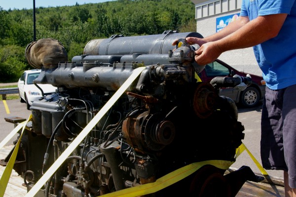
As I gassed up at a nearby gas station, I spoke with a tuna fisherman who had picked up this old Rolls Royce engine for only $50! He figured for that amount, it was worth it to see if he could get it working for his boat. |
|
|
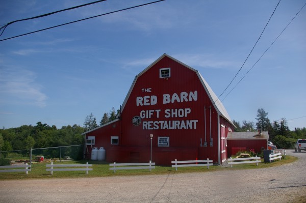
Roy had told me: "Turn left at the Red Barn." Seems you can't miss the route that takes you towards the Cabot Trail! |
|
|
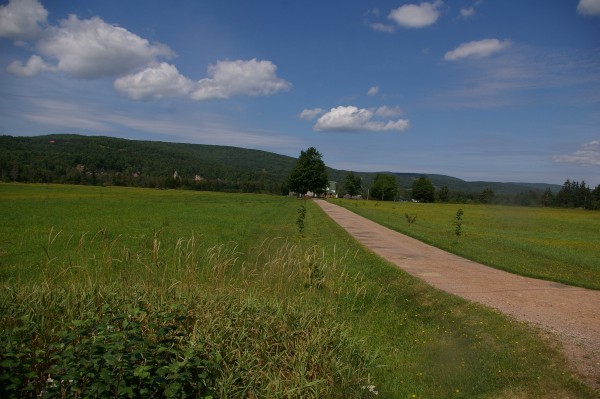
This picture was taken near Margaree Valley... |
|
|
... and this was taken near Margaree Forks. |
|
|
Margaree Harbour. |
|
|
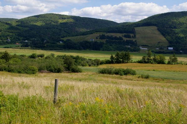
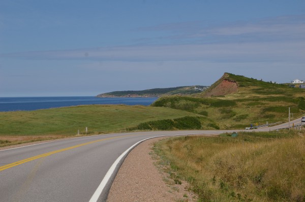
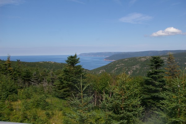
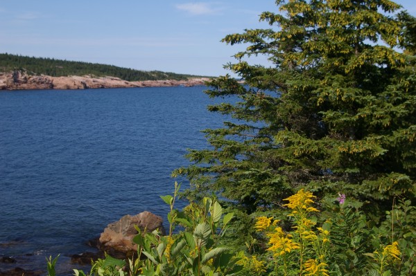
The views along the west coast of Cape Breton were awesome! |
|
|
The coast road undulated close to the water on the left... |
|
|
... and open fields on the right. |
|
|
Near St. Joseph du Moine |
|
|
This causeway leads you away from Grand Etang. |
|
|
From the same viewpoint, come docks off the causeway. |
|
|
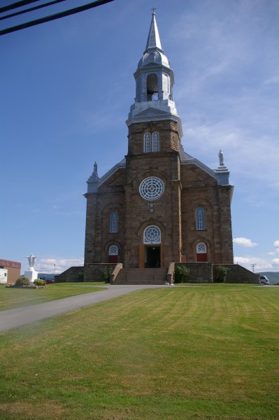
A beautiful church in Cheticamp. |
|
|
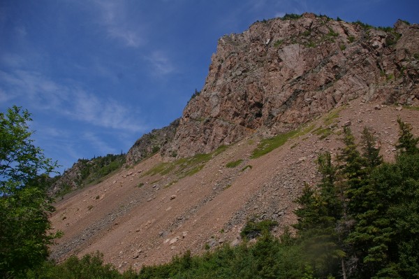
I was now officially in the Cape Breton Highlands, travelling along the Cabot Trail. My first stop was at Grand Falaise @ Le Buttereau trail front. |
|
|
From the other side of the road, at basically the same place, you could see the road I'd be travelling along as well as the ocean. |
|
|
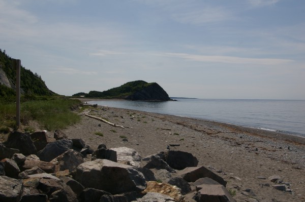
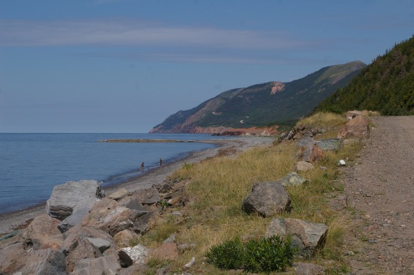
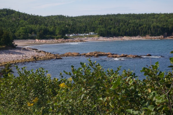
A beach along the north shore. |
|
|
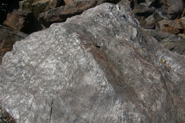
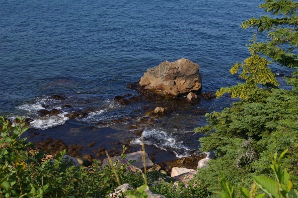
Many of the ocean rocks along the shore were lustrous. I'm no geologist so I can't tell you why they were shiny, but I can tell you that it made a very pretty sight. |
|
|
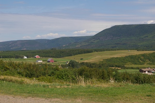
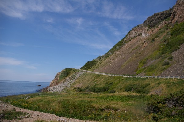
A view of the next part of the trail I'd be travelling. |
|
|
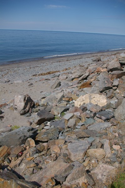
I don't know why I like the patterns and formations that the ocean pushes rocks into on the shore, but I do. |
|
|
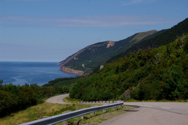
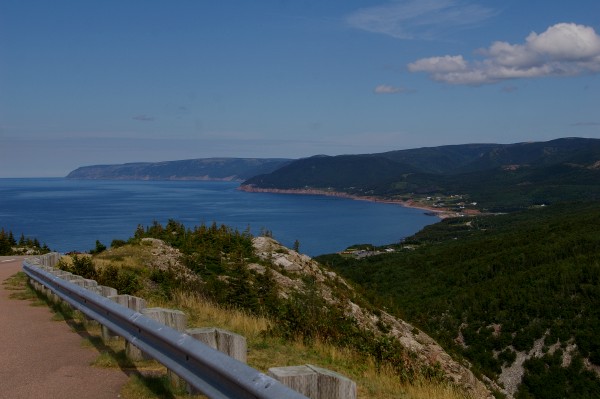
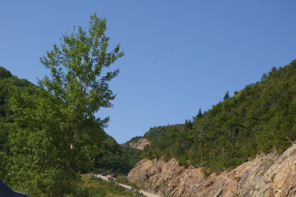
Further down the road. You can well imagine how I liked the Cabot Trail. Many beautiful views and a nice twisty road! |
|
|
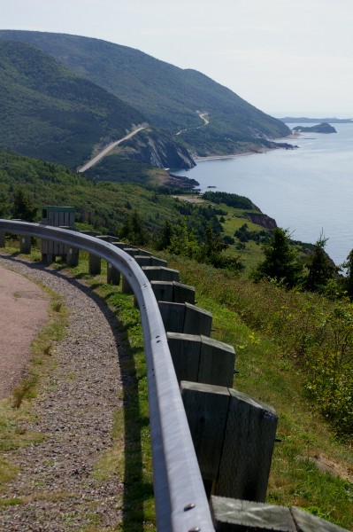
A view back to where I'd already been. |
|
|
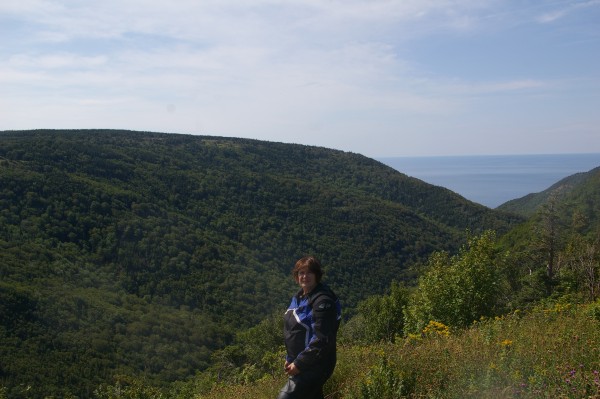
At a turn in the road, there was a scenic viewpoint where someone kindly took my picture. |
|
|
At this part of the road, you're still up on the mountain (MacKenzie)... |
|
|
... and I'm about to descend fairly quickly down some delicious curves to Pleasant Bay. |
|
|
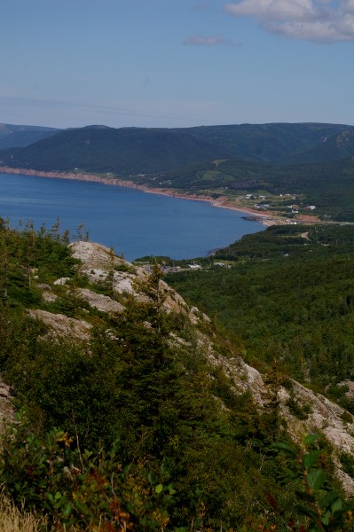
You can see Pleasant Bay a little clearer in this picture. |
|
|
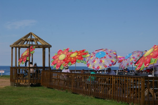
Very colourful! At a restaurant in Pleasant Bay. |
|
|
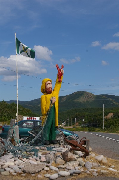
This statue of a fisherman in front of the restaurant greets you. |
|
|
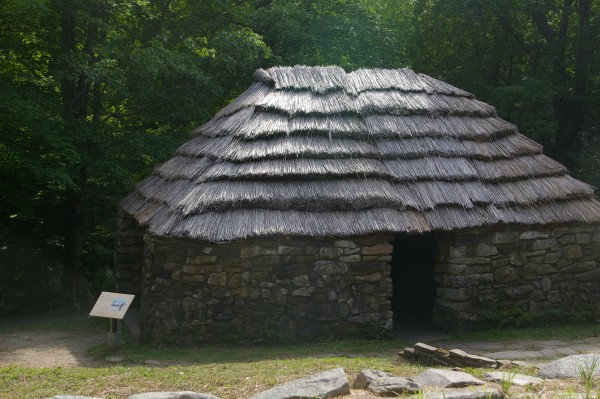
From Pleasant Bay, you climb back up a mountain (North) and on the side of the road is Lone Shieling, a replica of a Scottish crofter's hut amongst 350 year old maple trees. |
|
|
And of course, what goes up must come down. When I took this picture, I was in the middle of descending North Mountain. |
|
|
Black Brook Cove, south of Neil's Harbour. |
|
|
What a gorgeous place! |
|
|
It was no wonder that a gaggle of people were taking advantage of its sheltered beach! |
|
|
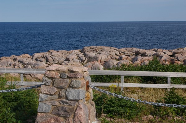
Lakies Head |
|
|
I pretty much motored along after that. I didn't want to be stuck on the Cabot Trail at dusk with all the moose hanging around. I took a shortcut towards Sydney across causeways which spanned "fingers" of the Bras D'Or Lake. |
|
|
At one point, you had to take a ferry across no more than 100 metres of water. Strange to pay $5 for a ferry ride in Quebec that takes you across the St. Lawrence Seaway and pay the same amount to cross a puddle. On the ferry I met some local riders. They were very friendly and it was nice to chat with them if only briefly... remember... puddle! |
|
|
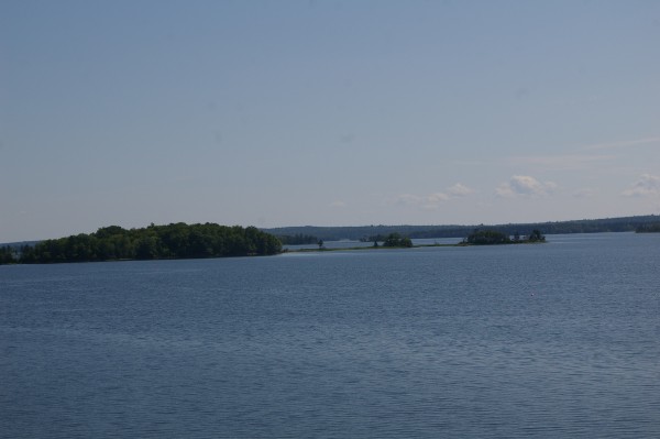
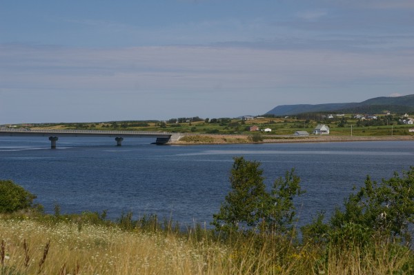
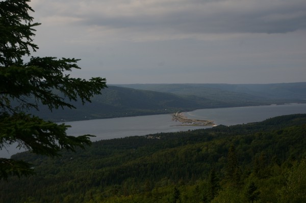
After leaving the ferry, I rode almost straight uphill and half way up, there was a lookout which showed the causeway/ferry where I'd crossed. You can see that the causeway crosses more than 3/4 of the bay and the ferry is left with next to nothing to get across. Go figure. Neat view, eh? |
|
|
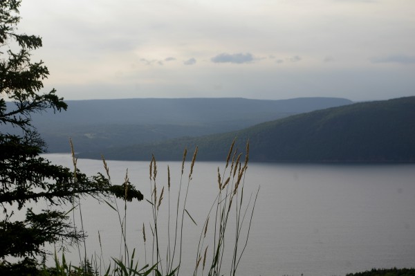
Another view from the same lookout. |
|
|
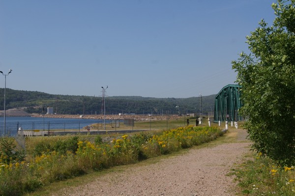
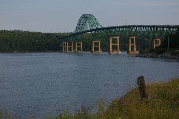
After going almost straight UPhill, you switch back and go straight DOWNhill on the other side of the peninsula. There you cross another finger of Bras D'Or Lake using this super-bridge. |
|
|
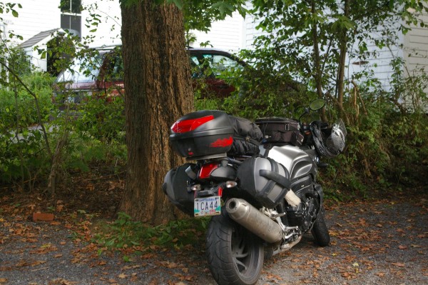
Soon after, with the help of my mighty Garmin, I arrived at the Gathering House B&B. I was suprised to see leaves already falling from the branches of trees near the driveway. |
|
|
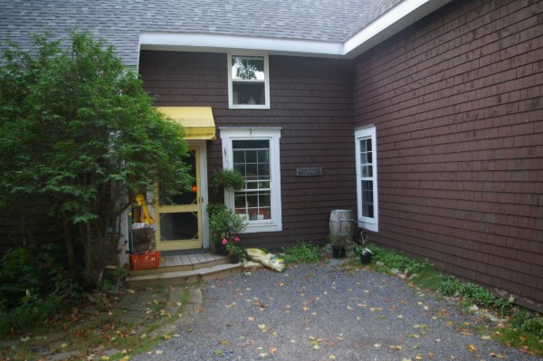
And through this entrance, my hostess, Jean directed me to my comfortable room upstairs, just across the hall from the window you see. |
|
|
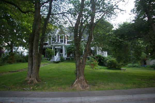
The Gathering House. |
|
|
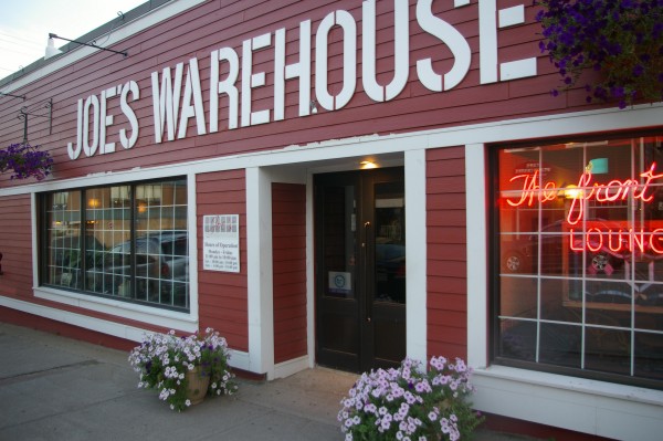
Jean said food was a kilometre away, so I hopped on my bike to go... 3 blocks?? I ate at Joe's Warehouse where the food was quite delicious. |
|
|
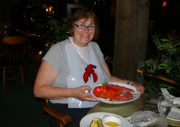
I knew I wouldn't be in the Maritimes much longer, so I took advantage of Fresh Lobster on the menu!! |
|
|
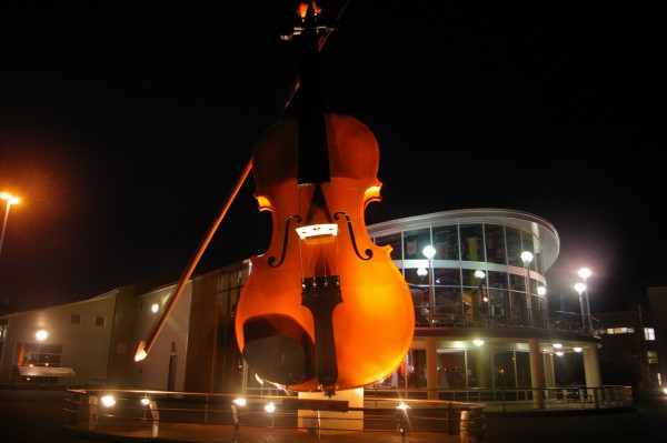
Since I'd taken my bike, I decided to make use of it after dinner to see what there was to see. At the Joan Harriss Cruise Pavilion (background), an 80th birthday party was taking place. The Big Ceilidh Fiddle marks the spot. I learned afterwards that the Pavillion acts as a cruise ship terminal as well as a special events venue. No cruise ships while I was there, though! |
|
|
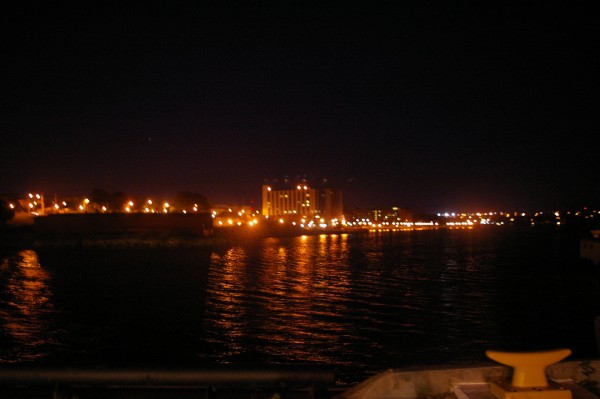
Looking in the opposite direction, Sydney Harbour businesses all lit up for the evening! |