|
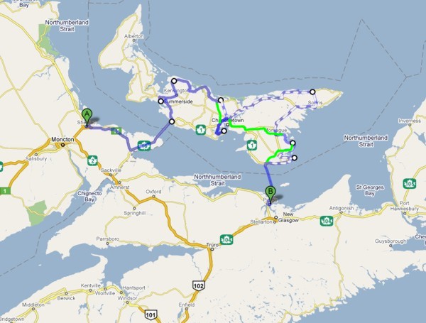
I followed my proposed route as far as Fort Amhurst. I loved the views there so much, I lingered. A trip to the northern part of the island could have made me late for the PEI/NS ferry, so I headed straight for Panmure Island before driving to the ferry.
Return to Main Page
|
|
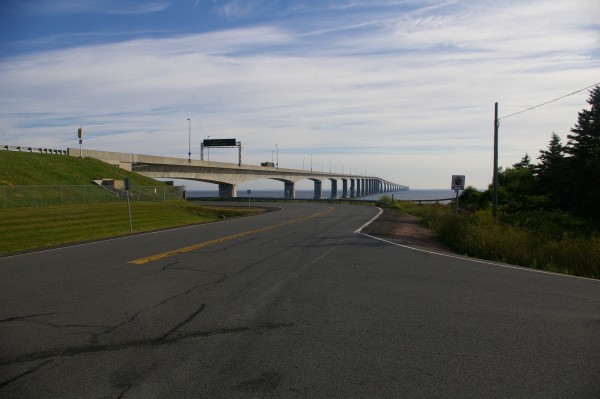
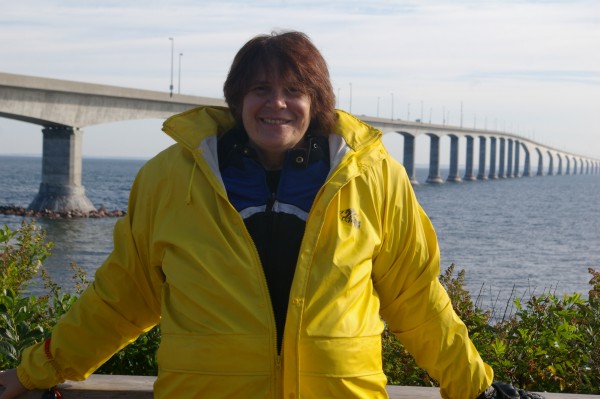
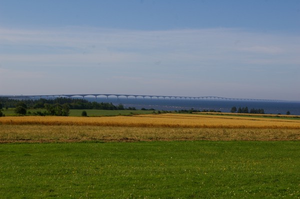
So here it is... the famous Confederation Bridge!
|
|
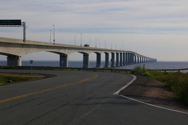
You can't see most cars cross the bridge (the sides are too high) but you can see the tops of trucks.
|
|
12.9 kilometres makes it the largest bridge "over ice-covered water". So it's not the longest bridge (in my estimation). I wonder what is.
|
|
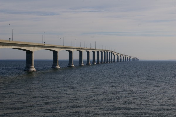
Had to get a snap of me and the something that is actually larger than me!
|
|
There wasn't a lot of traffic OR wind but there was a bit of construction on the bridge. It didn't take long to get across then I ended up in Borden-Carleton which seems to be a recently added (because of the bridge) tourist shopping haven.
|
|
Pretty though.
|
|
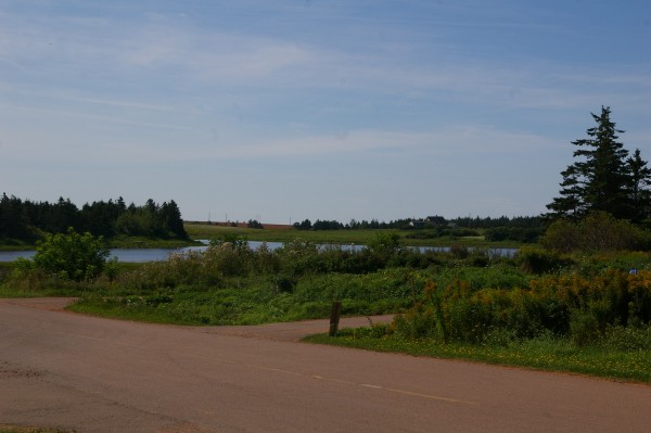
I turned west (left) almost right away and followed the road that would take me to Summerside. It didn't take long before I was in awe of the scenery.
|
|
I didn't even realize that from this spot I'd see a view of the bridge until I'd gotten off my bike.
|
|
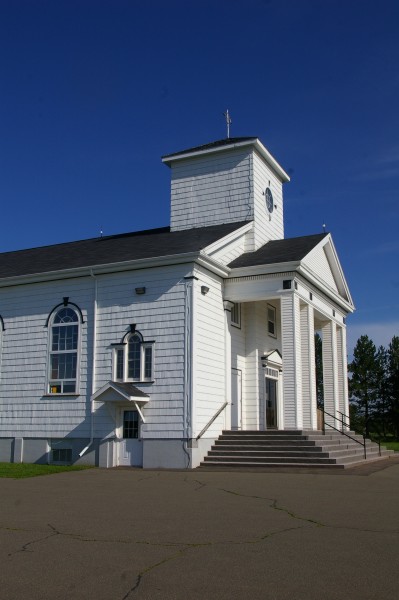
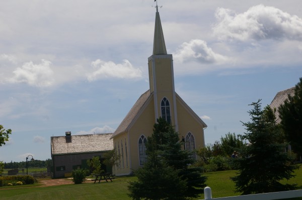
Also at this "bend in the road", there was a lovely church...
|
|
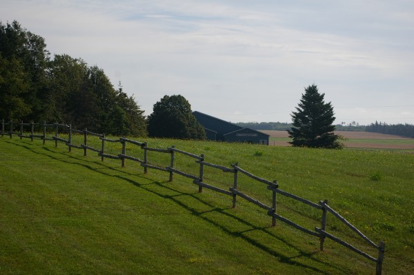
... and a farmer's field (comlete with horses that disappeared as soon as I raised my camera).
|
|
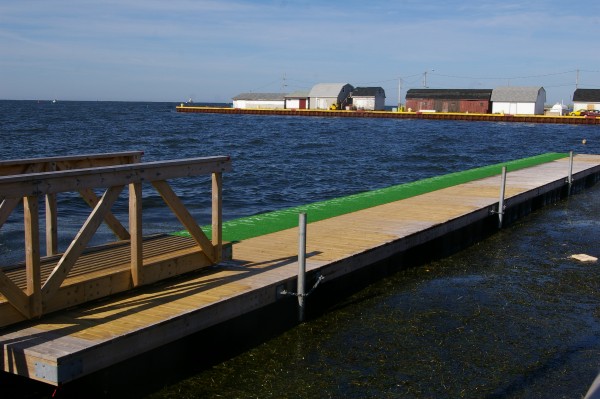
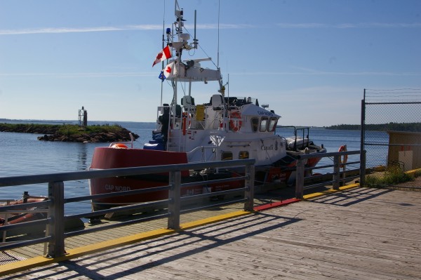
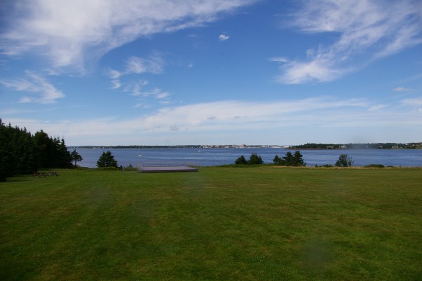
I drove on to Summerside Harbour.
|
|
Cozily docked there was a Coast Guard boat.
|
|
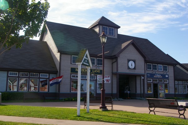
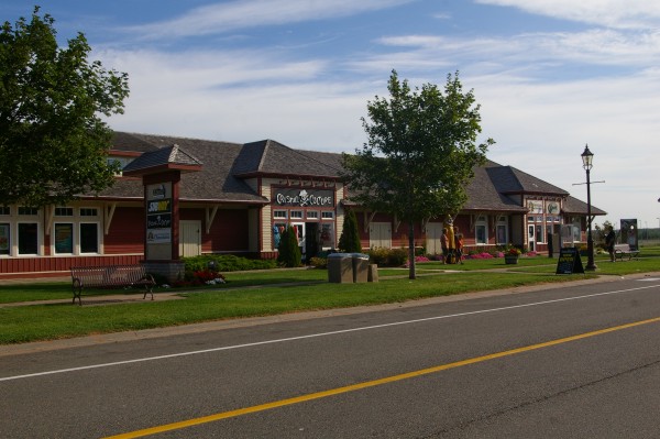
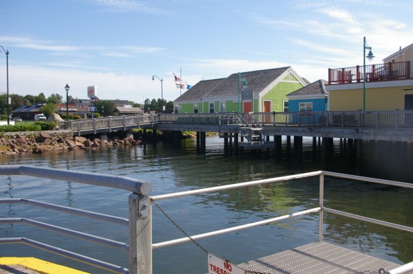
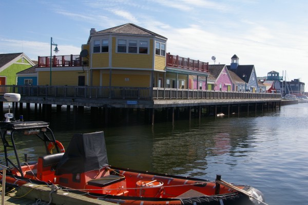
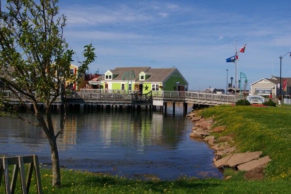
Along the docks, a pretty shopping area was built up.
|
|
I loved the pretty colours of the buildings.
|
|
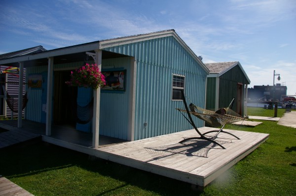
Upon finding a parking space near the shops, I HAD to visit them to see if what was in them was as good as the setting.
|
|
One store was dedicated to selling hammocks. A customer was busy testing this one out.
|
|
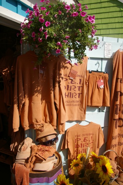
The business I got a kick out of was the "PEI Dirt" store. Their clothing was all certified to have been dyed by Prince Edward Island dirt.
|

|
A view from one of the stores on the docks towards the parking lot in which I was parked and another "land based" shopping area.
|
|
After leaving Summerside, I went through Kensington then up towards Cabot Beach Park. Before arriving at the park, I stopped on the roadside to capture this and the next image.
|
|
Lovely!
|
|
Just short of the park entrance was a recreational/boating area.
|
|
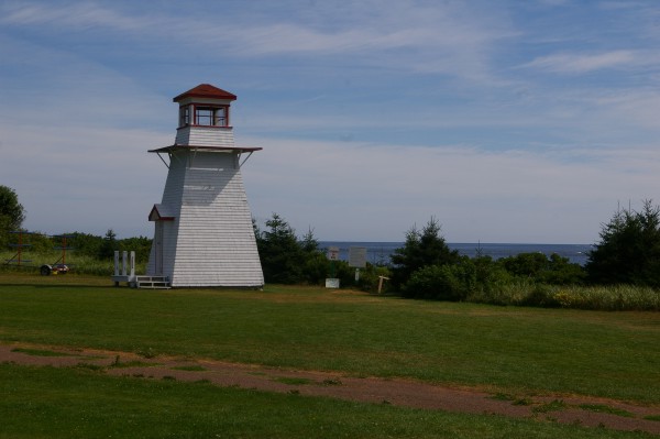
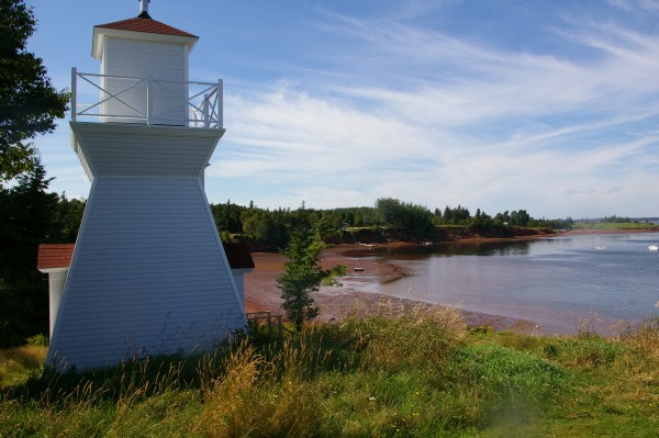
There was a lighthouse next to the park's beach. I would imagine it was more for show than actually functional in any way.
|
|
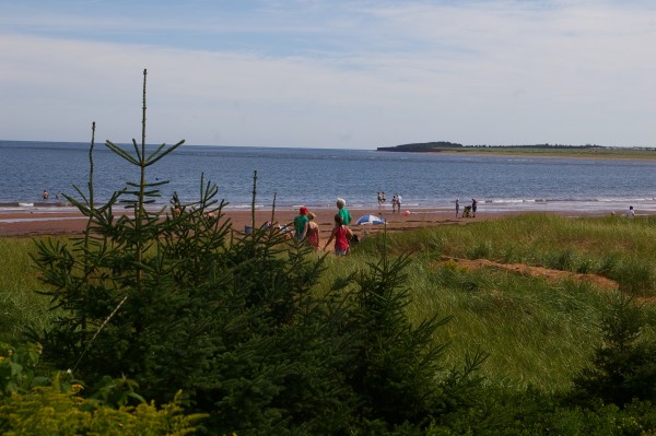
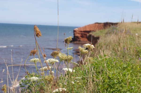
The beach had red sand!! Many people were taking advantage of the lovely day.
|
|
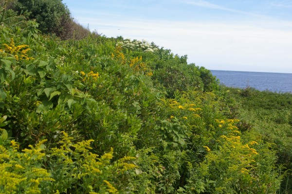
Plants obviously like the iron-rich soil.
|
|
Upon leaving the park, there were other beautiful views...
|
|
... blue water, red soil, green grass...
|
|
As I drove, there was actually a road sign which read something like: "another turn, another great PEI view".
|
|
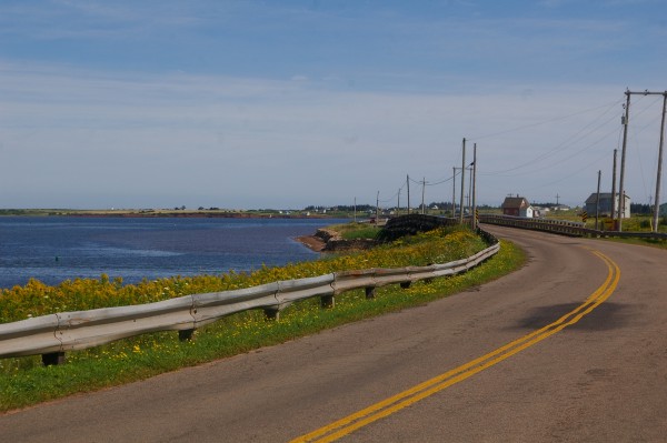
Instead of following my GPS, I took a road which hugged the Gulf of St. Lawrence.
|
|
That way, I saw a lot of very colourful views of a very pretty province.
|
|
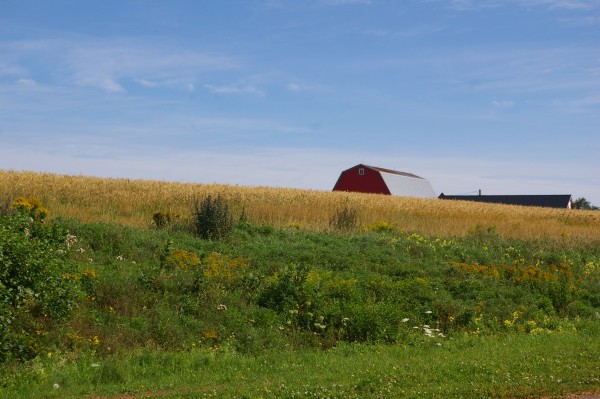
Take away the sea and you could be in a lot of places...
|
|
... for instance...
|
|
... but put this together...
|
|
... with this...
|
|
... and especially this, and you feel sublime.
|
|
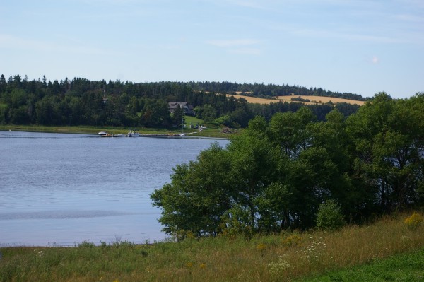
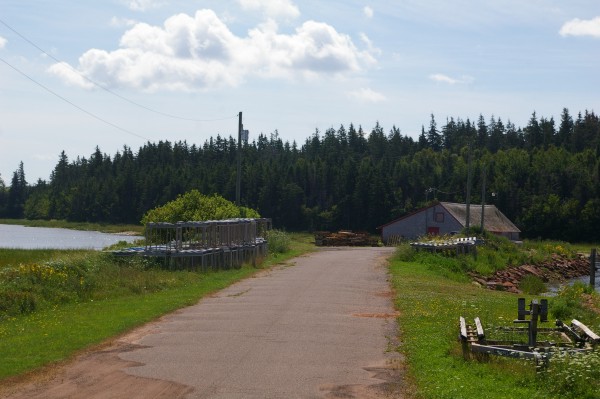
This bridge spans the Southwest River towards New London.
|
|
I believe this is at Stanley Bridge.
|
|
A little causeway leading from the middle of that bridge led to a lobster fisherman's shack.
|
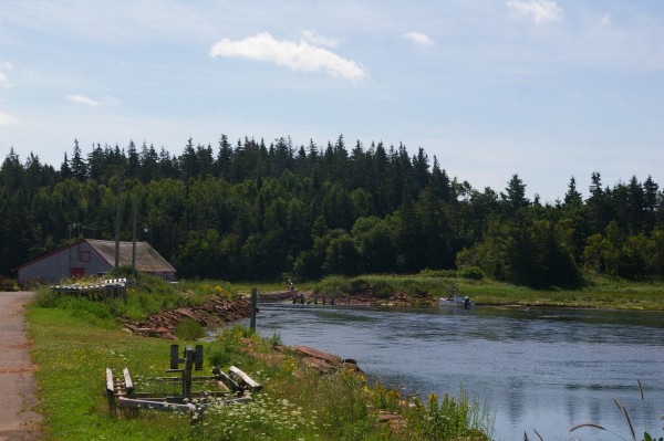
|
Another view.
|
|
Still from the same area. That's what was really cool about taking pictures on PEI... don't like the view from this direction? Turn around!!
|
|
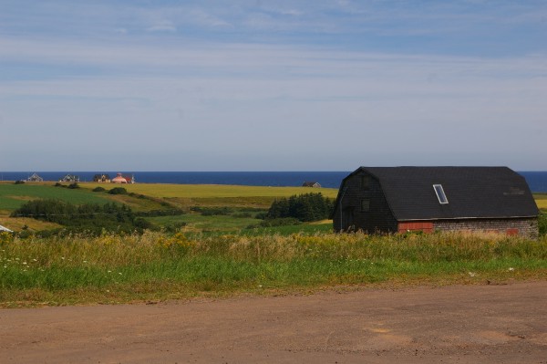
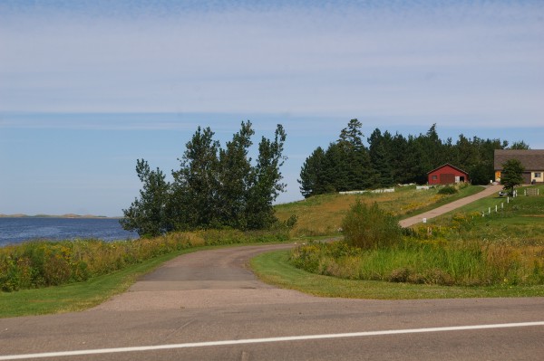
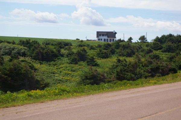
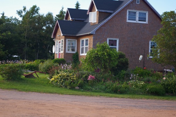
Barely up the road from there, a cosy place to call home!
|
|
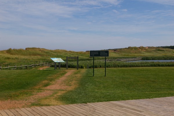
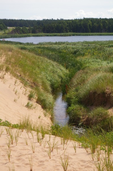
I soon arrive at Prince Edward Island National Park.
|
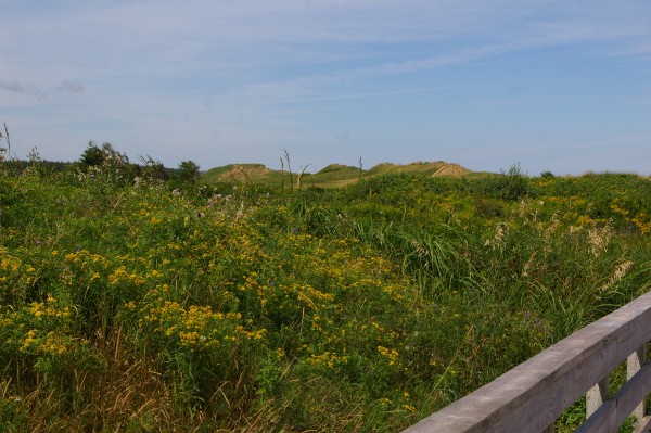
|
Lush vegetation covering...
|
|
... large reddish-gold sand dunes...
|
|
... and people taking advantage of the good weather!
|
|
In every direction, another photo opportunity!
|
|
I headed back out to the main road to reach the other part of the National Park. Along the way I came to "Green Gables".
|
|
A lot of work has been put into this fairy tale-type setting.
|
|
You could see many people thoroughly enjoying their surroundings.
|
|
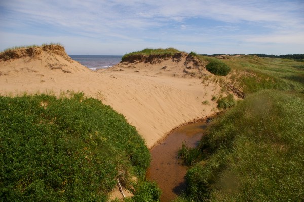
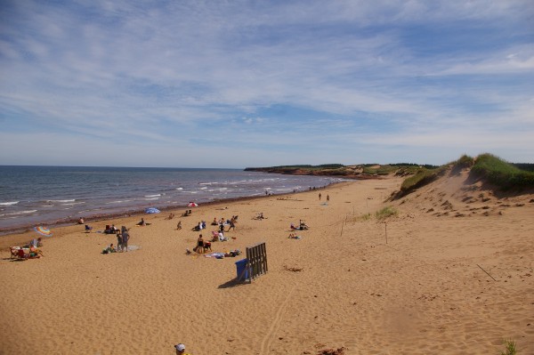
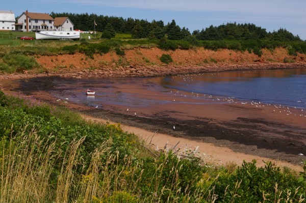
I arrived at the other half of PEI National Park.
|
|
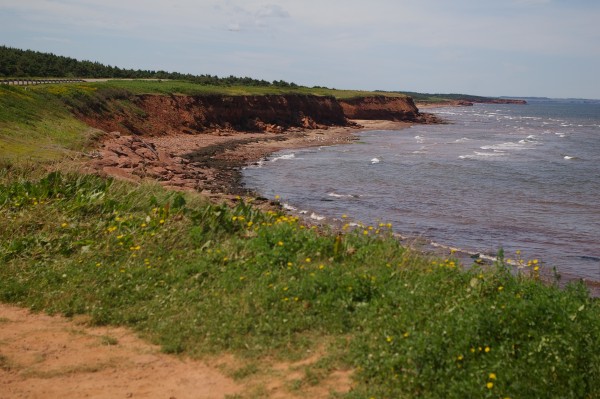
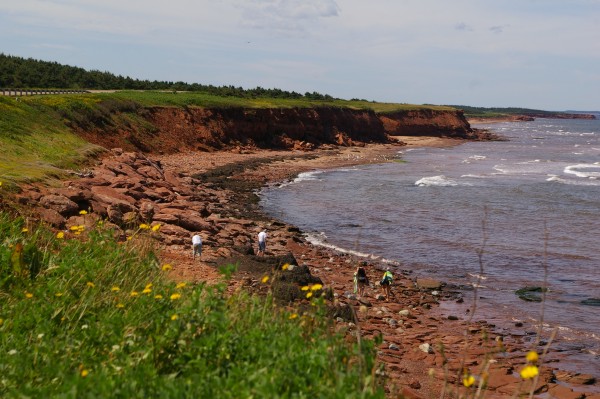
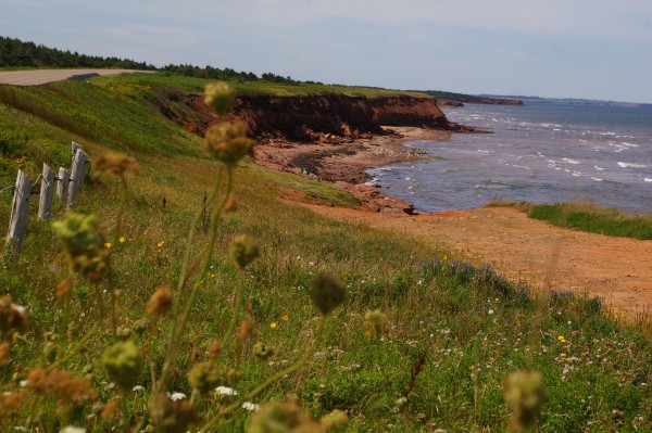
Here the beaches were redder and more rugged.
|
|
The views along the beach road were stunning.
|
|
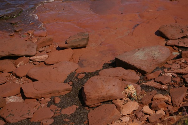
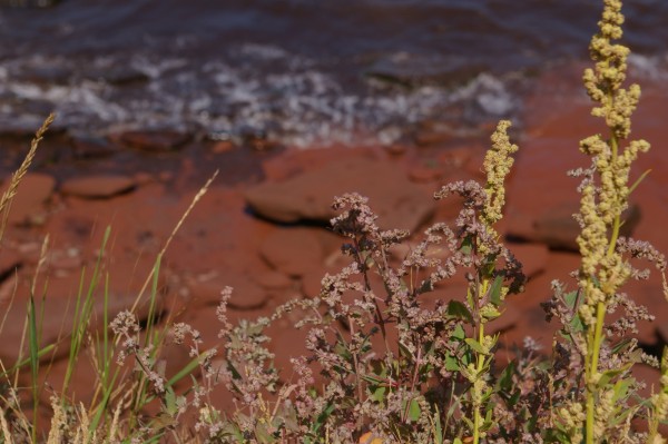
Look how ABSOLUTELY red the rocks and soil are!
|
|
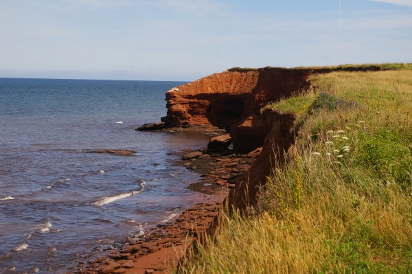
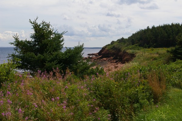
I took all of these pictures from the same spot.
|
|
The spot might very well be my favourite one on the island.
|
|
Every time I turned and looked, there was something else to take a picture of.
|
|
Across the road from that spot, someone gets to enjoy the view every day. Lucky person!!
|
|
I met a couple from the States who had driven their van to PEI and were picking different areas to cycle (and sightsee) every day.
|
|
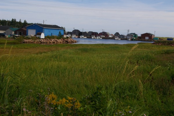
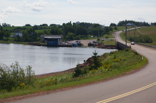
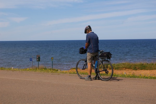
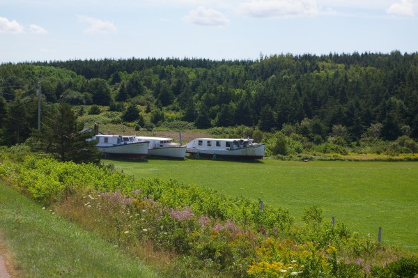
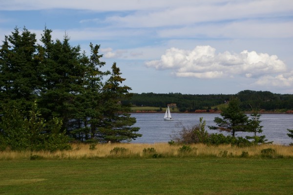
A little further up the road, I saw a few unusual boats...
|
|
... and more fabulous views.
|
|
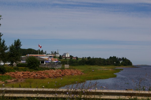
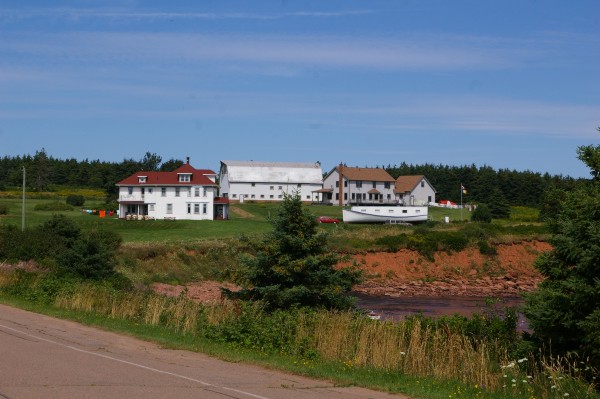
The colours of the buildings suit their surroundings.
|
|
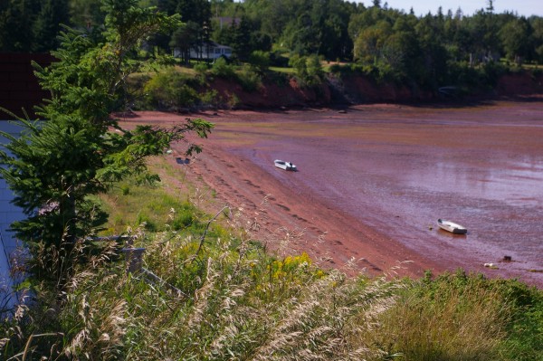
Do you see the rowboat which has been "dry-docked" by the receding tide?
|
|
Another fabulous view.
|
|
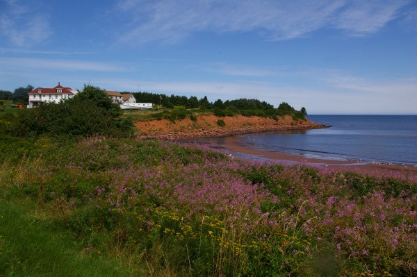
One of my favourite pictures for all the colours... the buildings, the rocks and soil, the trees, the vegetation, the flowers, the ocean... WOW!
|
|
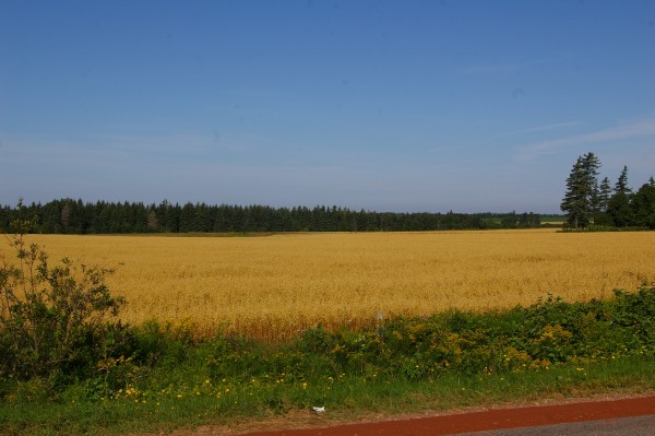
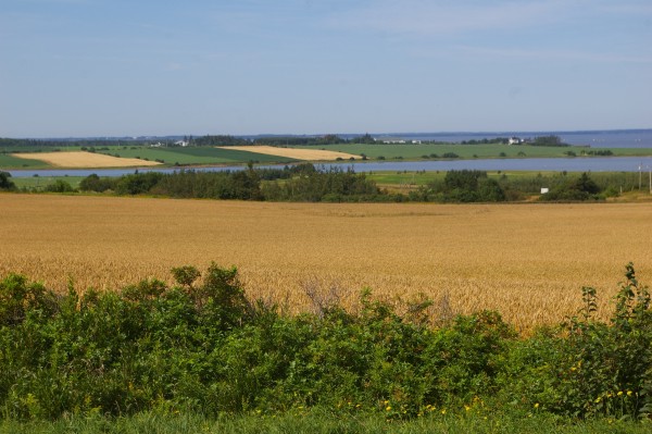
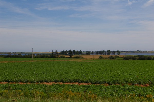
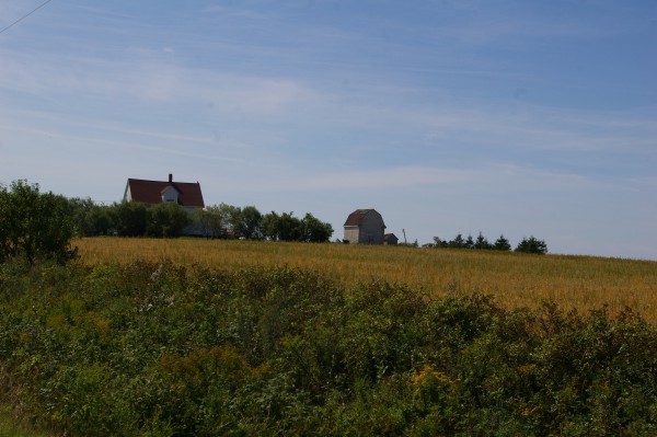
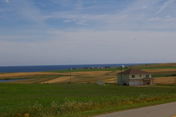
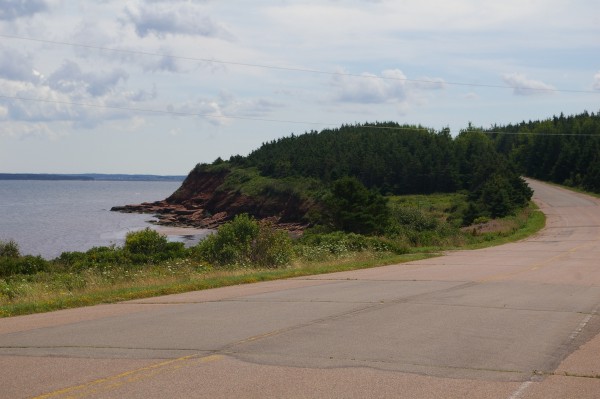
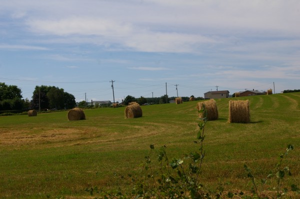
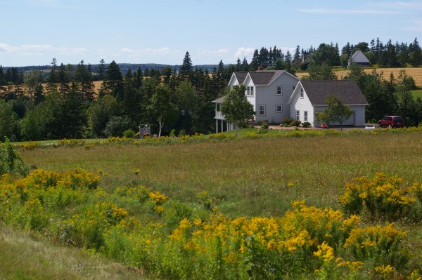
I headed back inland towards (but not through) Charlottetown so that I could visit Fort Amhurst. Along the way I saw rolling farmland...
|
|
... beautiful homesteads...
|
|
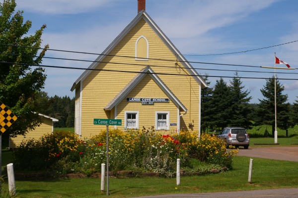
... and the Canoe Cove School, which according to its sign was established in 1820!
|
|
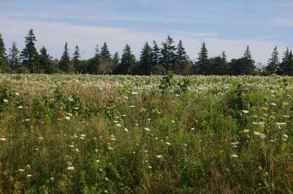
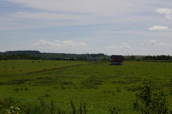
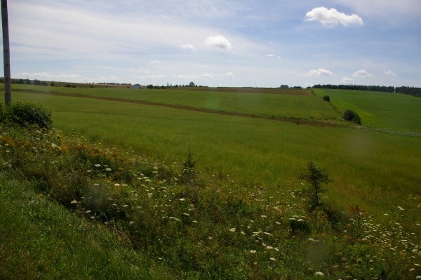
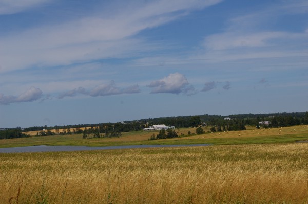
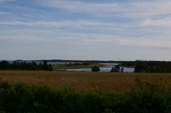
This inland area was absolutely beautiful.
|
|
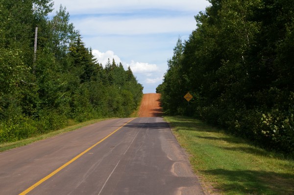
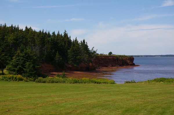
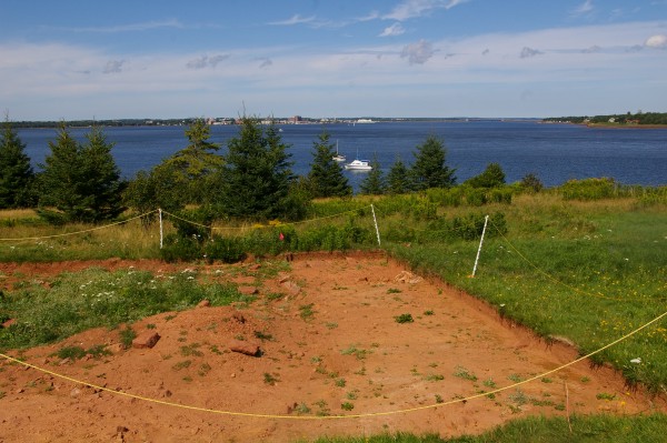
It didn't take too long to get to Fort Amhurst. Before entering the Historic Site, I took a picture just past its entrance of the paved road turning into a red gravel/dirt one. Neat!
|
|
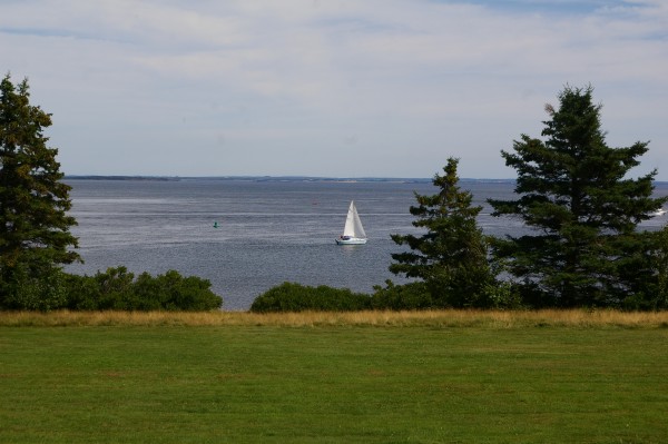
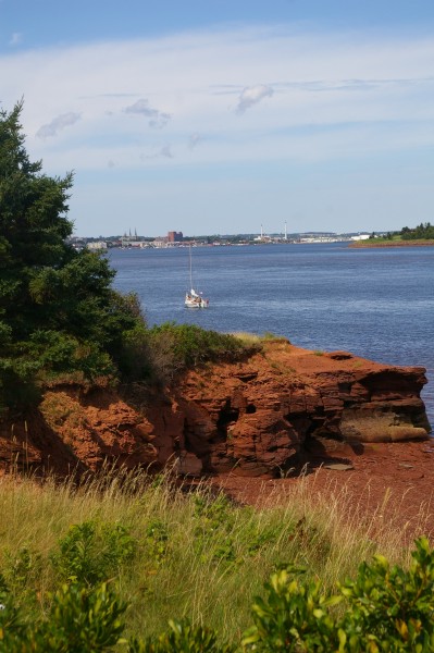
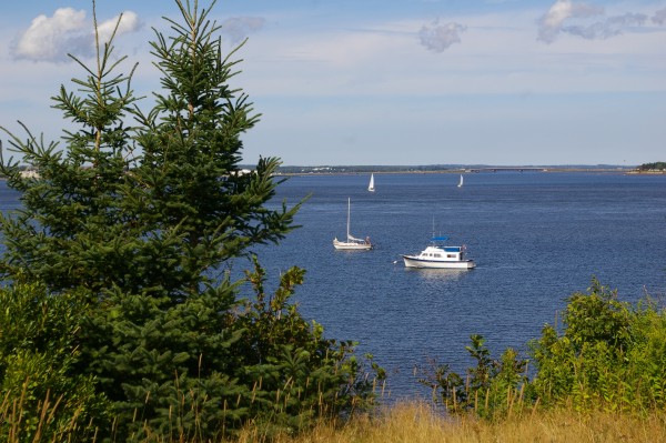
From this historic site, you get great views of Charlottetown Harbour. Several people were boating nearby, including this sailboat.
|
|
Across the harbour, in the distance, you can see Charlottetown.
|
|
The sailboat had made its way further into the Harbour.
|
|
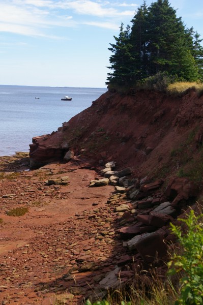
Another view of Charlottetown and of PEI's amazing red rocks.
|
|
Dazzling!
|
|
Looking out to sea.
|
|
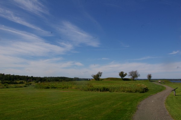
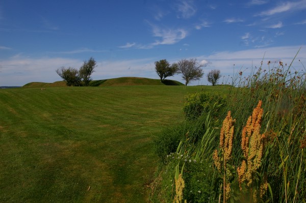
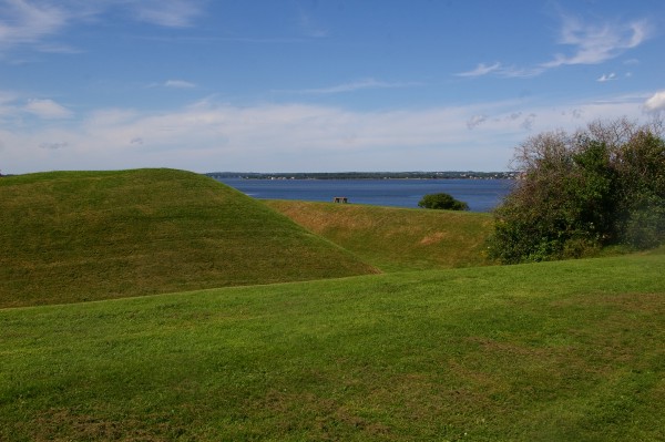
A little further inland are the remains of the foundations of the old fort.
|
|
The mound you're looking at in the distance is its foundations.
|
|
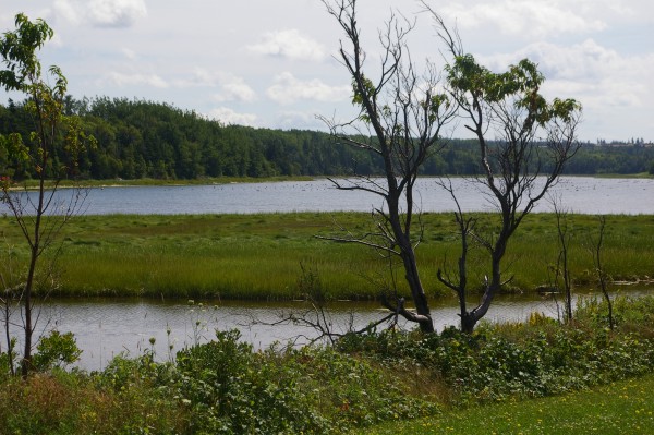
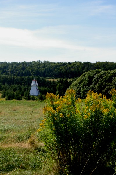
There were several lighthouses delineating several inland coves.
|
|
You can see how the fort would have had an outstanding view of any ship or boat entering the harbour.
|
|
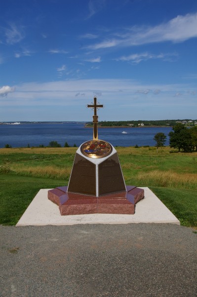
This monument was dedicated to the Acadian settlers.
|
|
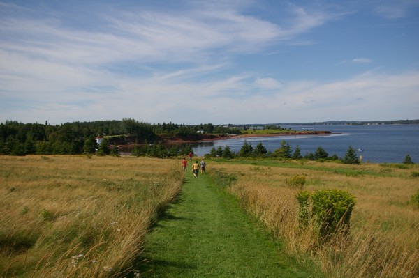
I took a walk down this mowed path...
|
|
... to discover the foundations of the oldest house on Prince Edward Island.
|
|
While down there, I had a different view of the harbour...
|
|
... of this lighthouse...
|
|
... and of more "dry-docked" boats. I guess you have no choice but to use your boat to get right to shore then, when the tide goes out, the boat is stranded on dry land.
|
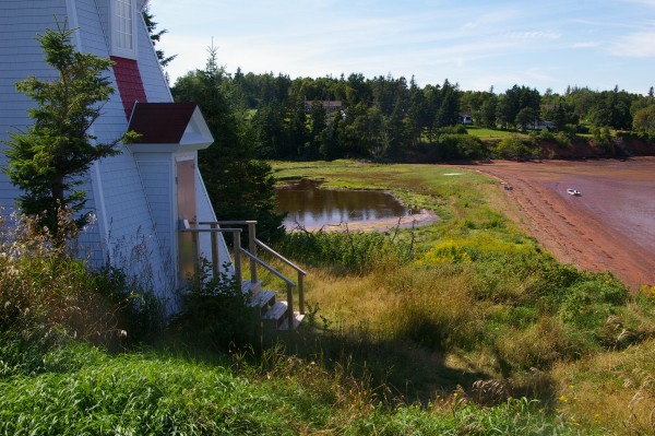
|
It makes a pretty picture, regardless.
|
|
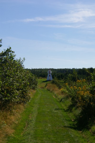
I walked back up the hill on a different path, towards a different lighthouse.
|
|
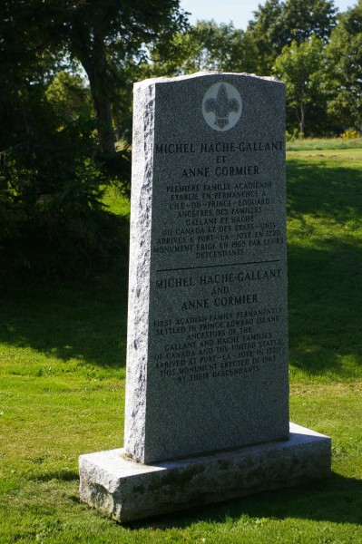
Before I left the fort, I read this memorial to Michel Hache Gallant and Anne Cormier. They were the first Acadian family to permanently settle in PEI and their ancestors erected the monument in 1965.
|
|
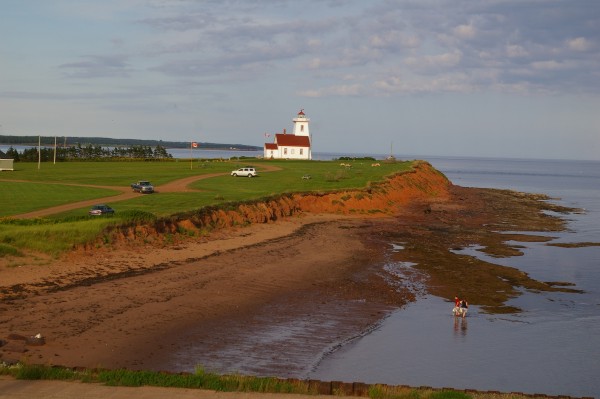
It was already fairly late in the day so I headed directly for Panmure Island. Pictures of this area have always intrigued me so I had to see this part of the island for myself.
|
|
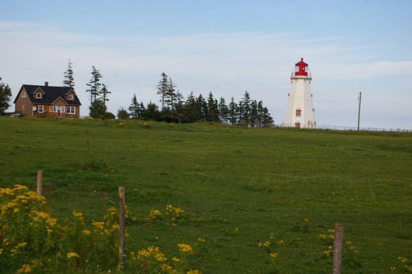
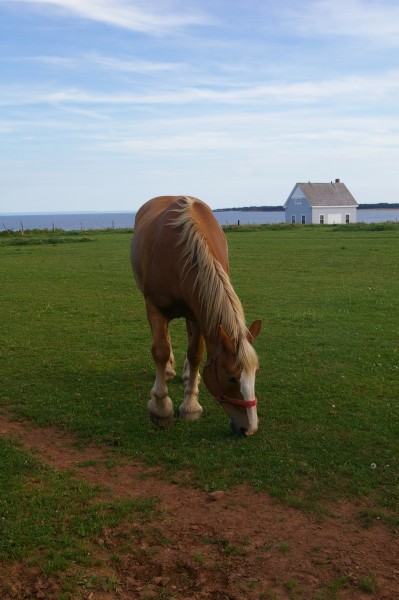
Perhaps the lightkeeper lives in this house. I do know that the lighthouse is still active.
|
|
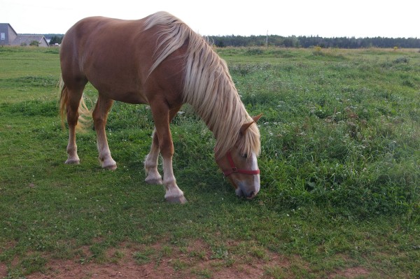
In many pictures of Panmure, you see these horses.
|
|
I can see why they are in so many pictures... they are very photogenic!
|
|
A view from the lighthouse grounds of the causeway that leads you to the "Island" which is more like a peninsula.
|
|
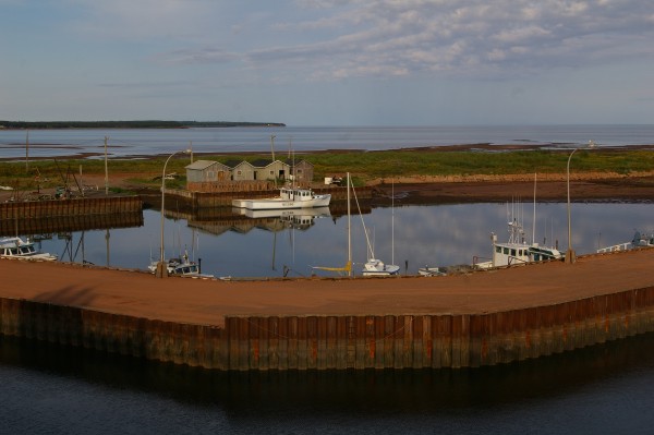
After a pleasant visit to Panmure Island, I headed straight for the Wood Islands/Caribou Ferry. I got there with about 10 or 15 minutes to spare but there wasn't enough time to take advantage of the lobster store right by its dock!
|
|
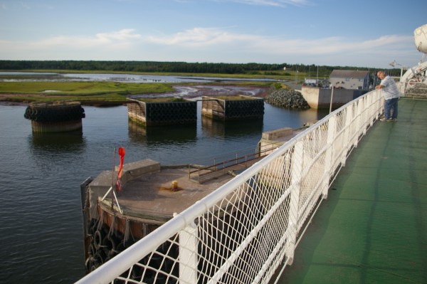
Here we are pulling away from the dock.
|
|
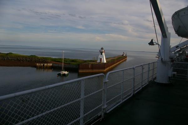
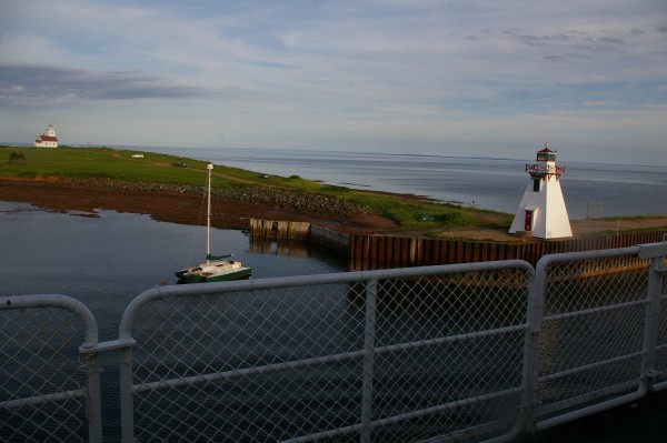
As you leave the dock, you get a great view of the lighthouse which marks the entry to the small harbour.
|
|
A cozy little harbour, don't you think?
|
|
Goodbye Prince Edward Island! I really enjoyed visiting your red shores!
Next Day
Return to Main Page
|