My Summer Road Trip
July 30, 2014

My Summer Road Trip
July 30, 2014
|
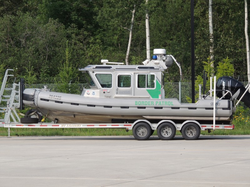
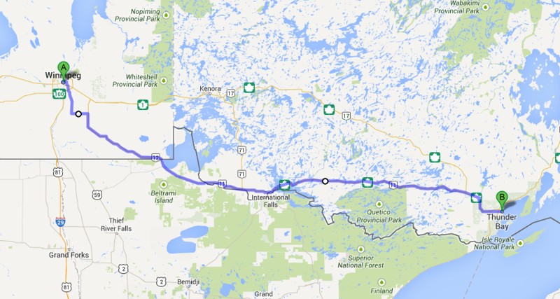
Finally! It's been a long, long time since I left home to go on a "roundabout". Although there have been trips in 2012 (Barcelona) and in 2013 (Austin), arriving at a destination THEN using a bike to check out the surrounding area isn't the same as packing the bike up from home and setting off to explore. To begin my ride, I used "MOM"'s Way to get to my first night's destination, Thunder Bay. MOM indicates travelling through Manitoba, Ontario, and Minnesota (although not in that order). Here, I'm crossing the border at Highway 12. It seemed strange to see a border patrol boat at the border, but Lake of the Woods is right on the corner of Manitoba/Ontario/Minnesota. In fact, the Northwest Angle and Elm Point are located in this area. For the uninformed, both these American places can only be reached by land through Canada. I've always wanted to visit them but not this time! |
|
While (briefly) in Minnesota, I travelled through Warroad. |
|
I've been in Warroad several times and always think what a pretty town it is. |
|
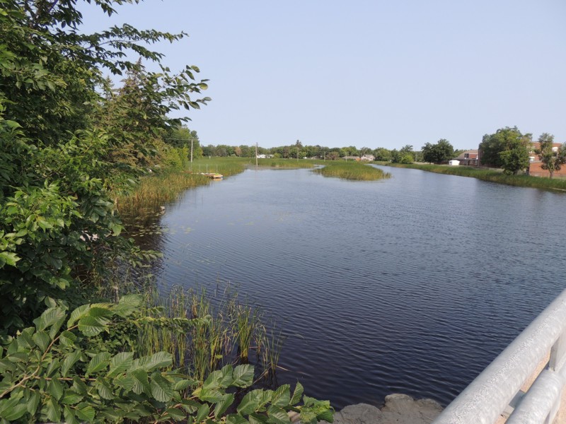
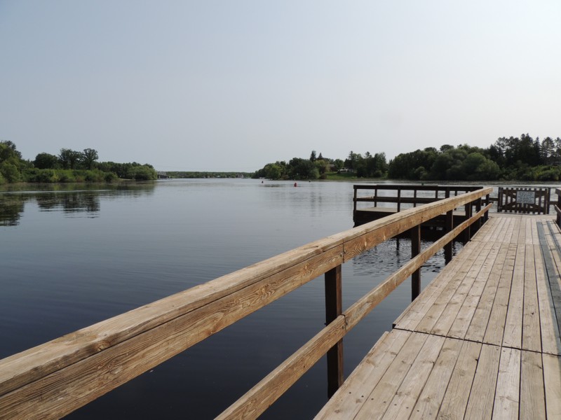
Just a short distance from where this picture is taken, the river enters Lake of the Woods. (Warroad, MN) |
|
To get back to Canada, you travel from the border to Warroad then down highway 11 to Baudette, MN. This means you're in the USA for about 45 miles or 70 km. Here I am in Baudette. |
|
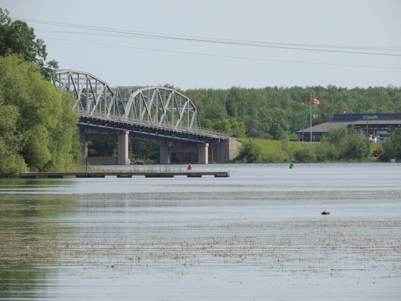
Once you cross that bridge across the Rainy River, you leave Baudette, MN and arrive at customs in Rainy River, ON. |
|
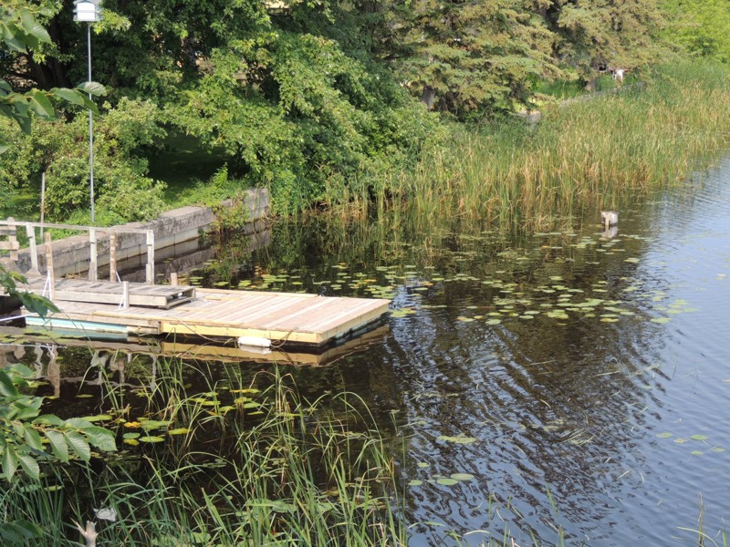
But, for the time being, I'm still in Baudette, MN at the end of this dock. |
|
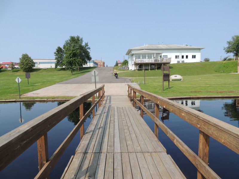
I've arrived in Rainy River, ON. |
|
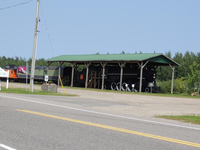
A photo op: an old locomotive, passenger car and caboose... Rainy River, ON |
|
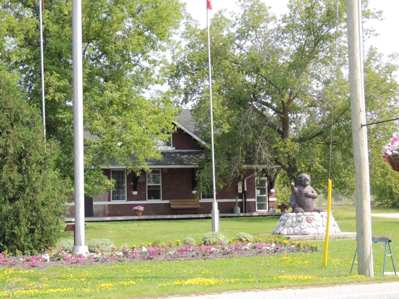
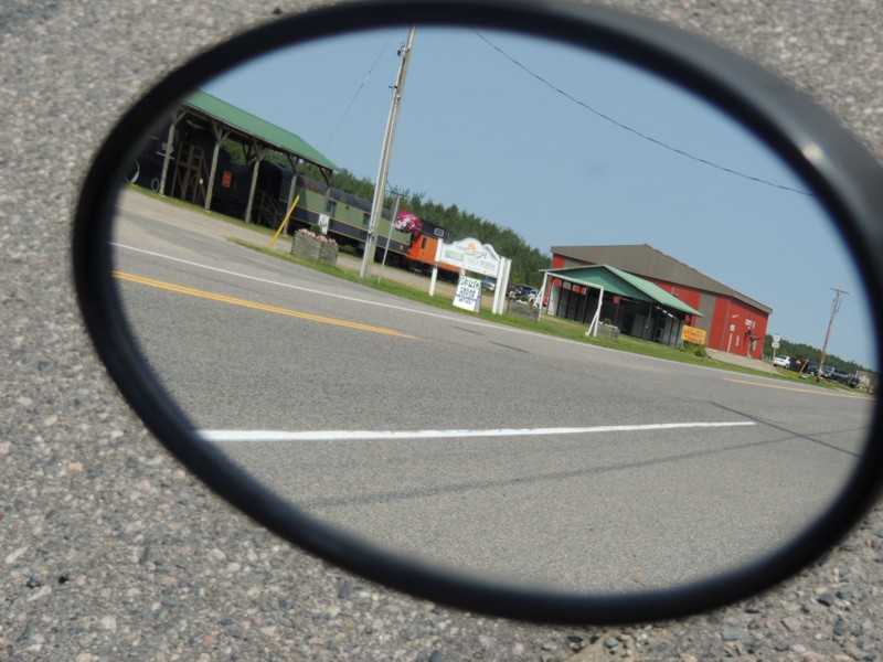
Rainy River, ON |
|
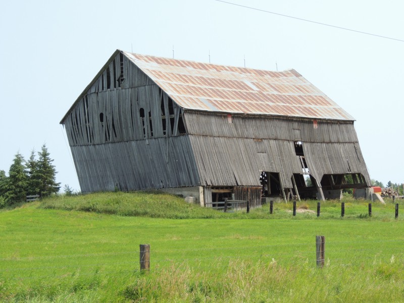
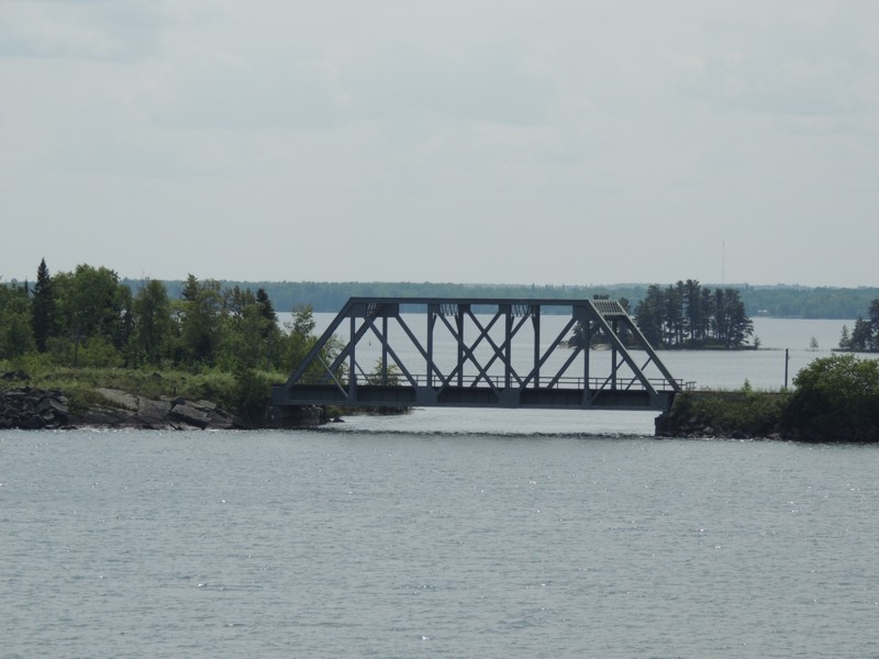
Not an optical illusion... it really is leaning!! Along Highway 11 just after Rainy River. |
|
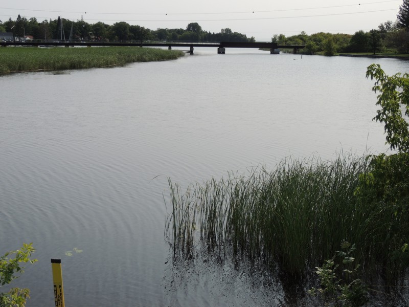
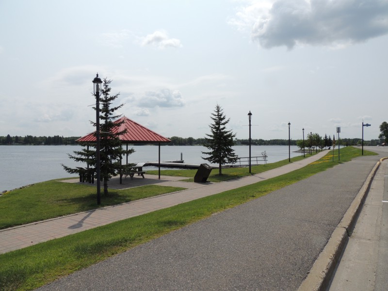
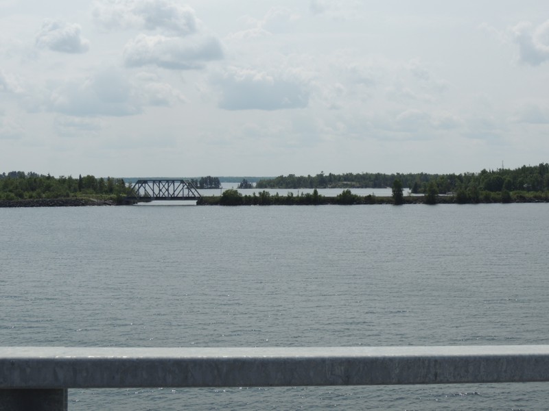
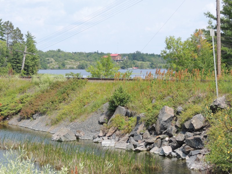
Now back in Canada, I followed highway 11 to get to Fort Frances. Along the road, Canada is on the north side of the Rainy River and the USA is on the south side. On the eastern side of Fort Frances, the Rainy River opens up to Rainy Lake. |
|
The eastern side of Fort Frances |
|
The eastern side of Fort Frances |
|
The eastern side of Fort Frances |
|
The eastern side of Fort Frances |
|
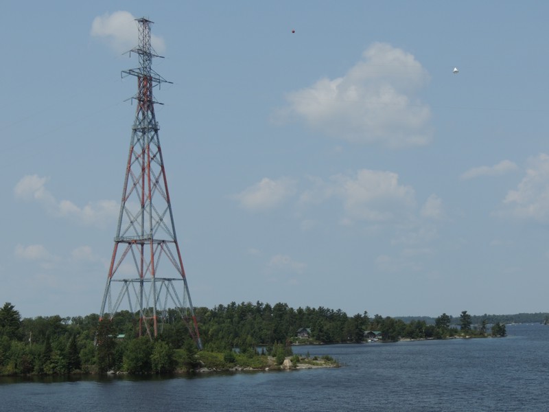
To travel east, you must actually cross over Rainy Lake on a causeway. I was able to take these pictures along the causeway because construction allowed only one lane of traffic to cross the lake at a time. |
|
Stopped along the causeway that takes you over Rainy Lake. |
|
Stopped along the causeway that takes you over Rainy Lake |
|
I actually pulled off to the side at one of the islands along the causeway to take these pictures. |
|
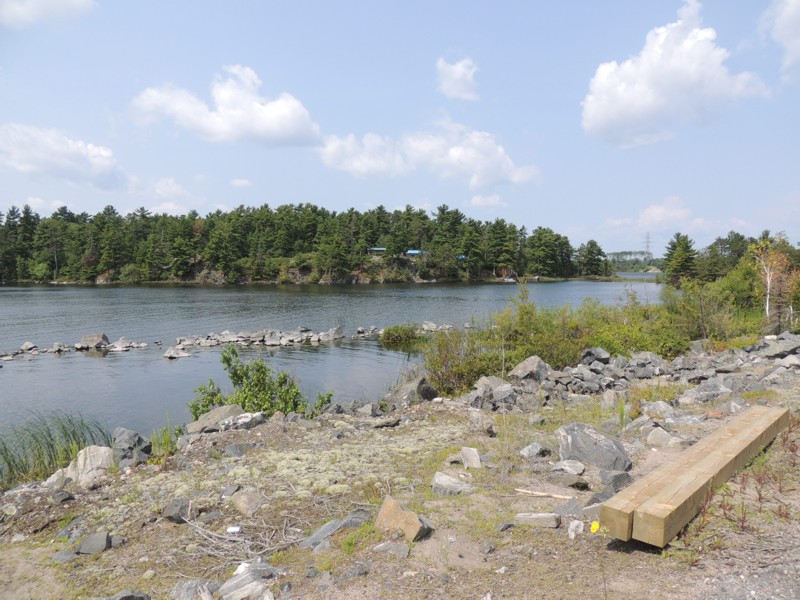
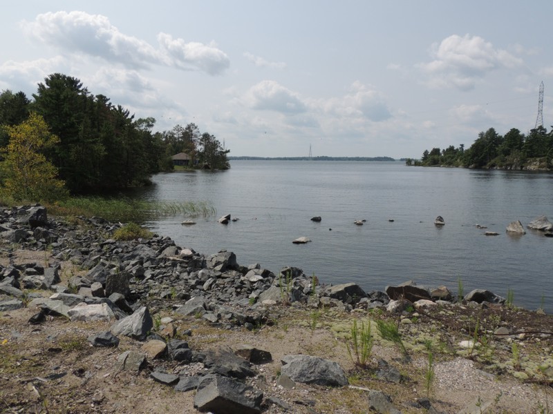
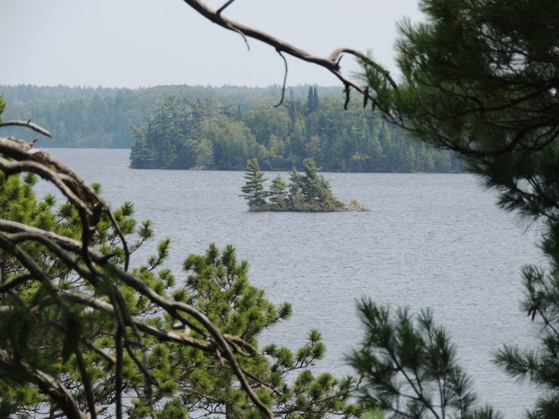
Rainy Lake surrounds you along the way. |
|
Here, you can see a resort on one of the bigger islands of Rainy Lake. Highway 11 cut across that island as it continued eastward. For many, many miles, there is water and more water... another form of island hopping, I guess! |
|
Stop along Highway 11... as I indicated, more and more and more water! |
|
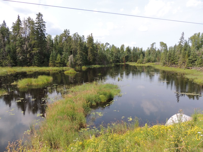
Even when there's not a full lake, there is still water. (along Highway 11) |
|
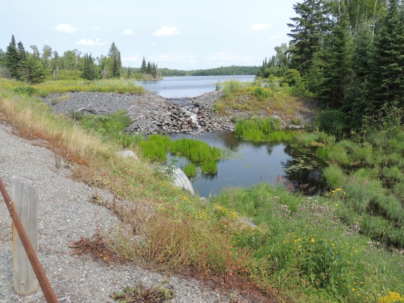
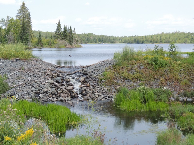
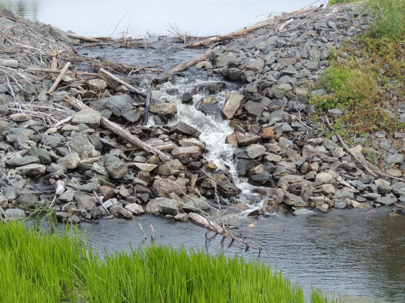
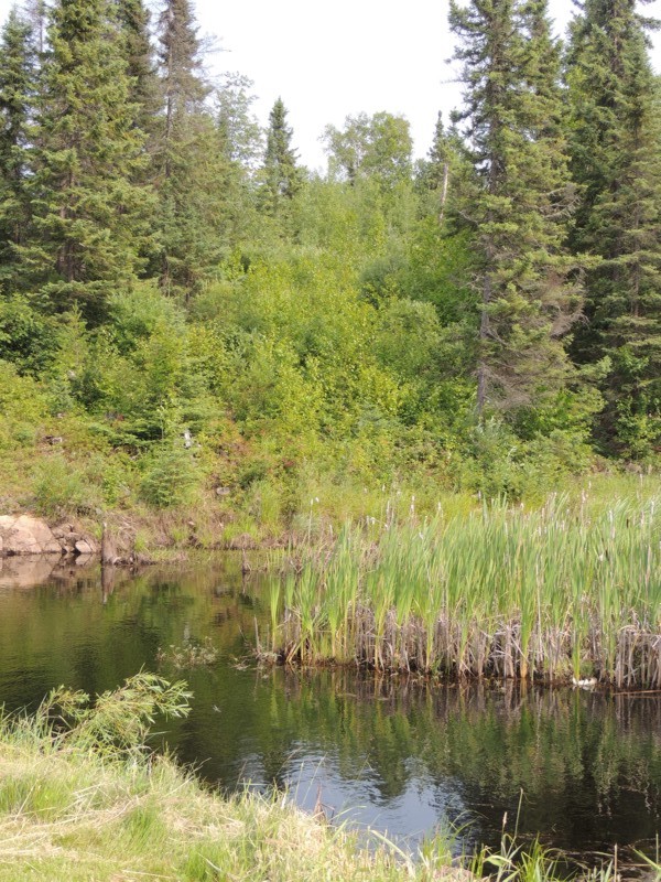
I actually found a way to turn around on the highway so I could take these pictures of Lerome Lake. |
|
Lerome Lake - there was about a 3-4 foot drop between lakes. |
|
Lerome Lake - a tiny waterfall over a tiny dam |
|
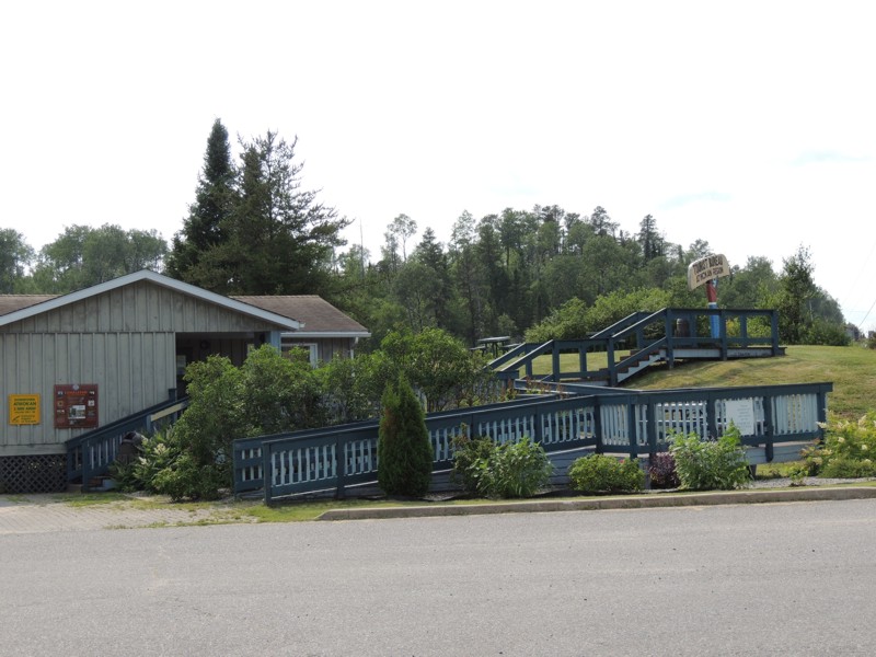
Before I decided to travel along highway 11 to Thunder Bay, I researched whether or not I'd find gasoline for my bike along the way. That would be at the ESSO in Atikokan. HOWEVER, if I hadn't done my research, I'd have passed by the community altogether since it's off the road a couple of miles and is only marked by the Atikokan Visitor Centre. |
|
At the Atikokan Visitor Centre |
|
They advertise "information about the area" on signs but nothing is said about "last gas station for miles - turn left". I wonder if "stupid tourists" run out of gas often because of this. |
|
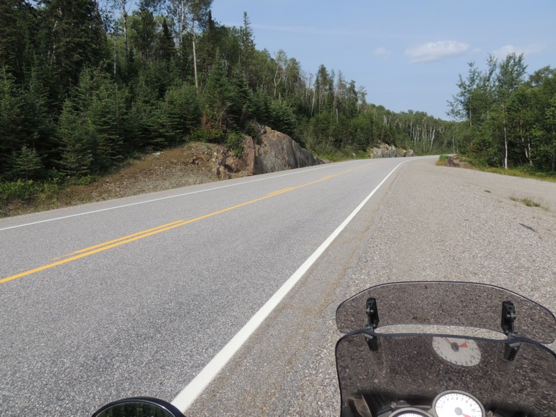
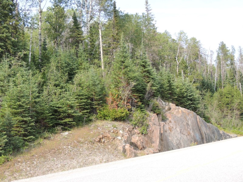
A rest stop just shy of Shabaqua (where 11 meets 17)... There's no doubt this route is pretty BUT there's no sign of civilization anywhere. It can seem pretty lonely, especially because there's not a lot of traffic (in either direction) either. |
|
A rest stop just shy of Shabaqua |
|
I finally reached Thunder Bay. It took a bit of effort to find my lodging at a local college dorm. After unloading a few things from the bike, I went to Tim Horton's for dinner (wasn't all that hungry). There I met two guys on motorcycles who had arrived late for an organized Wednesday night ride from that parking lot. I chatted with them for awhile and asked for simple directions to the Harbour. |
|
The original plan was for me to follow one of the two guys to the harbour but I hadn't had my sandwich so he ended up leaving before I was ready. No problem. It was easy to find the Thunder Bay Harbour. |
|
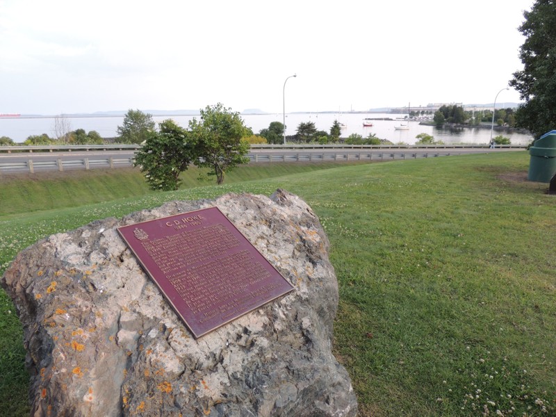
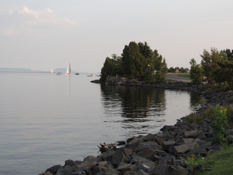
It had been a long time since I'd visited Thunder Bay. The harbour is so pretty. |
|
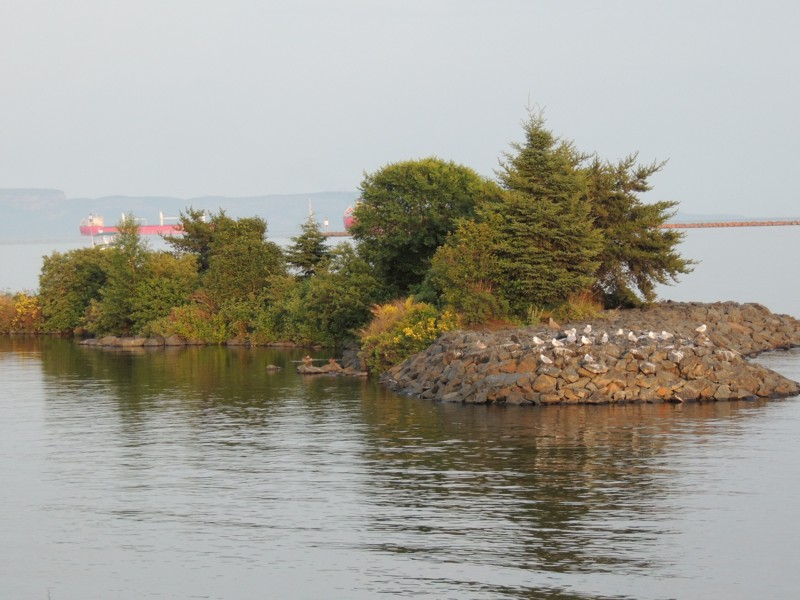
Thunder Bay Harbour - birds resting before hunting for fish. |
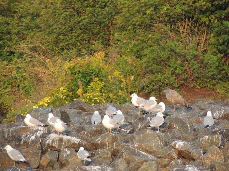
|
I can't recognize bird types - not a bird watcher - but I was curious about the brown bird hanging out with the grey and white ones. |
|
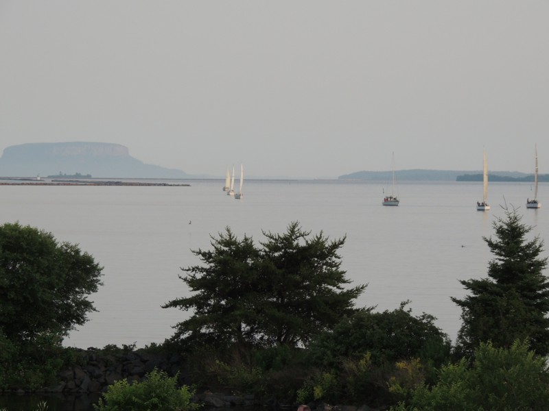
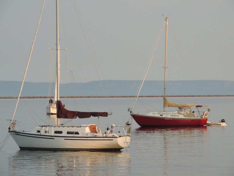
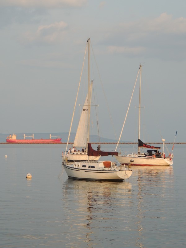
Thunder Bay Harbour - there were many boats, espcially sailboats, anchored directly off the shore. |
|
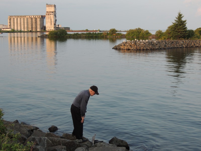
This man (who was hunting for driftwood) saved me from getting a parking ticket by preventing me from parking in a no parking zone (lots of other vehicles had already parked there)! He and nis wife directed me to a great parking area on top of a small hill. |
|
Walking along the shoreline. |
|
More anchored sailboats and one (in the background) sailing around in circles. |
|
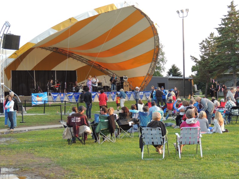
The bikers at Tim Horton's had mentioned live entertainment at the harbour. The concert could be heard throughout the area because of the strong speaker system. |
|
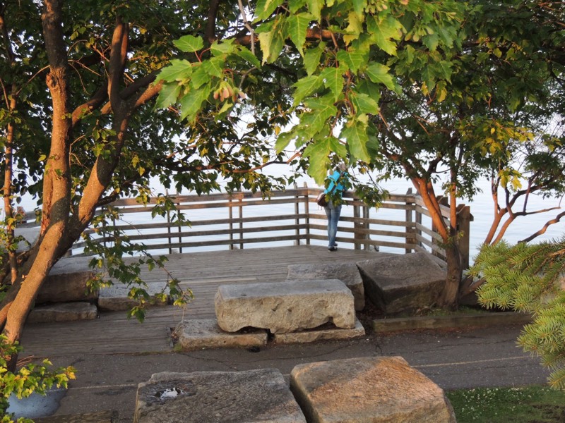
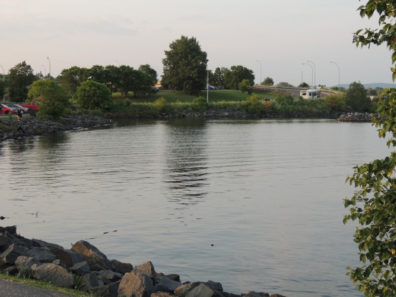
A lookout along the shoreline. |
|
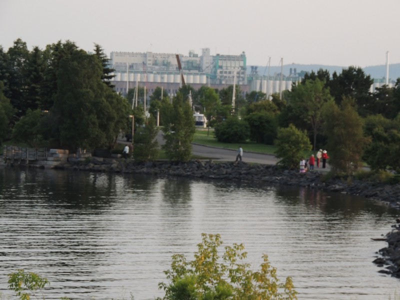
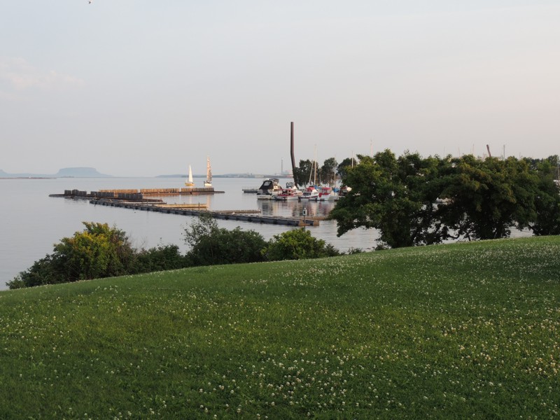
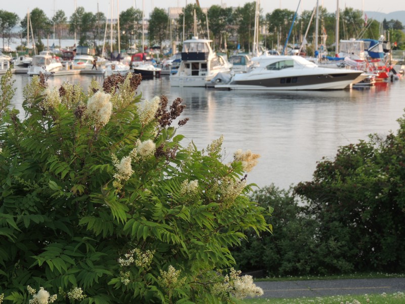
The marina |
|
The marina contained boats of all kinds. |
|
A view back towards where I parked |
|
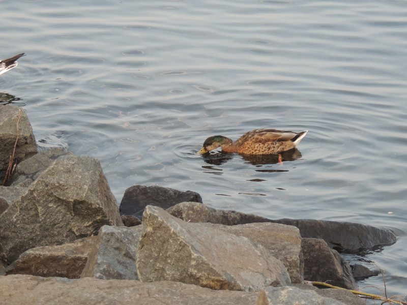
A member of the neighbourhood |
|
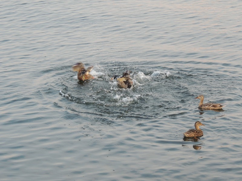
One male duck telling another that these two chicks are MINE! After enjoying the band for awhile, I returned to the dorm because I knew I had a long day ahead of me, travelling on to Sault Ste. Marie. |
|
Route: 59 south to 52 52 to Steinbach 12 to border 313 to Warroad 11 (US side) to Baudette 11 (Canadian side) to Fort Frances TransCanada 11 to TransCanada 17 TransCanada 11/17 to Thunder Bay |