|
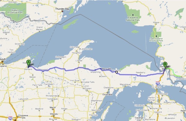
My proposed destination was Sault Ste. Marie.
I added an an extra hour of riding (in green) to arrive at Thessalon.
Return to Main Page
|
|
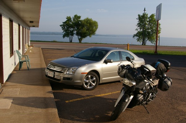
I woke up early Thursday morning to load my bike and was greeted by this view from outside my motel room.
|
|
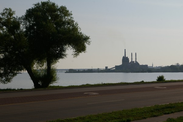
I have no idea what this factory is but it sure spoils the view. There must be a good reason it's there.
|
|
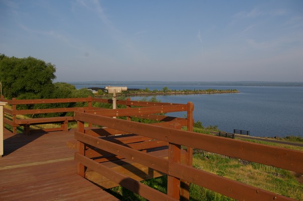
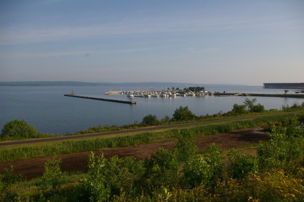
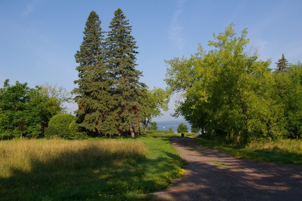
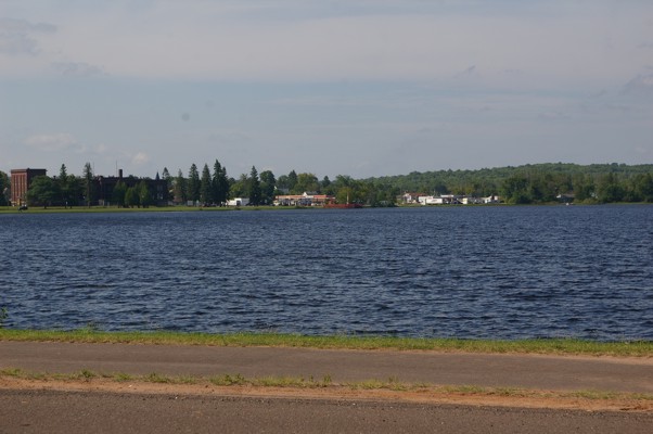
Down the road from my motel was a lovely little spot looking out at Lake Superior.
|
|
With all that lovely water there has to be a marina!
|
|
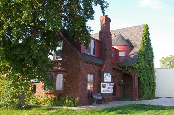
I absolutely loved this old house. It had been converted into office space for various businesses. The only thing I strongly objected to was the advertising on the front of the house.
|
|
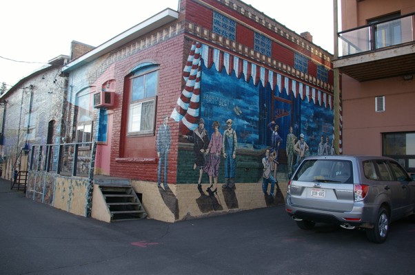
Around town were many murals. They were beautifully done. The artists made good use of perspective. The scenes popped right out at you.
|
|
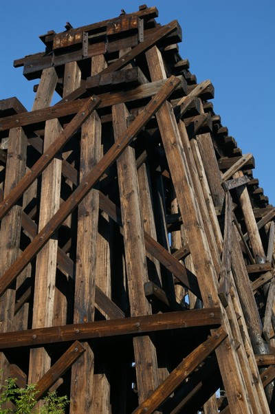
When I had passed through Ashland several years ago, this structure had come closer to the main road. I didn't know what it was then and I still don't know but it is very impressive. It leads out towards the lake.
|
|
Along the back roads closer to the lake, the residents of Ashland live right on the lake. By virtue of the garbage cans sitting in the middle of the long driveway, this resident doesn't want to share his or her wonderful view with anyone else.
|
|
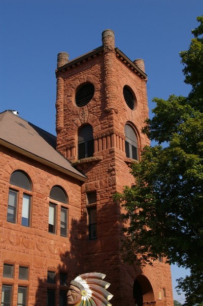
This county courthouse was built in 1888, the same year my grandfather was born
|
<
|
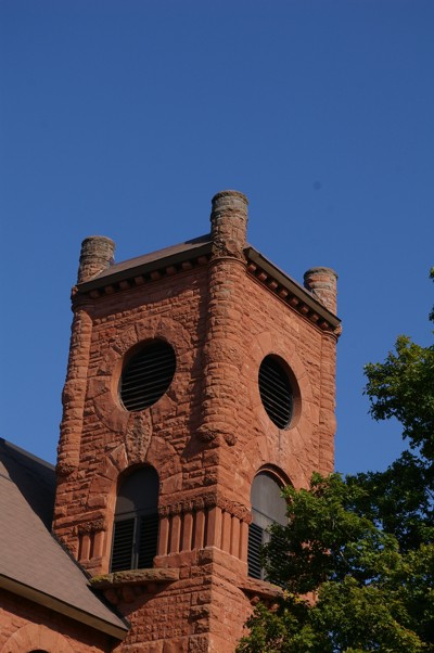
A little closer look...the courthouse is located in Ironwood/Bessemer. Perhaps that's why the stone is red... a place having soil rich with iron.
|
|
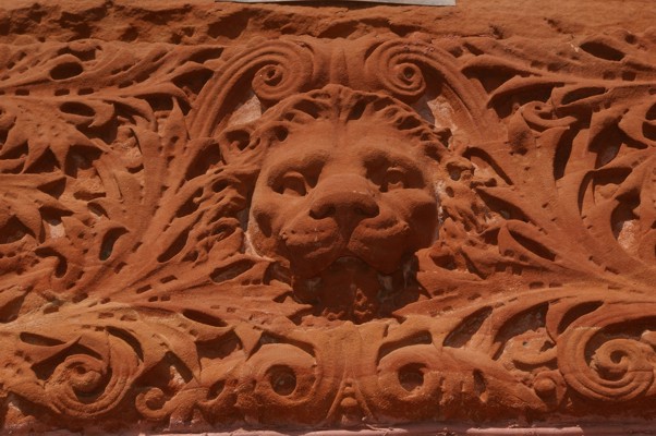
Look at the detail in the stone work... beautiful!
|
|
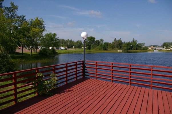
At Wakefield, I left Highway 2 to travel on Highway 28 towards Marquette. At that juncture of those two highways is this pretty tourist stop.
|
|
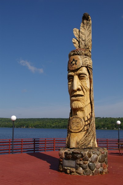
What makes you notice the tourist center is this beautiful wooden totem.
|
|
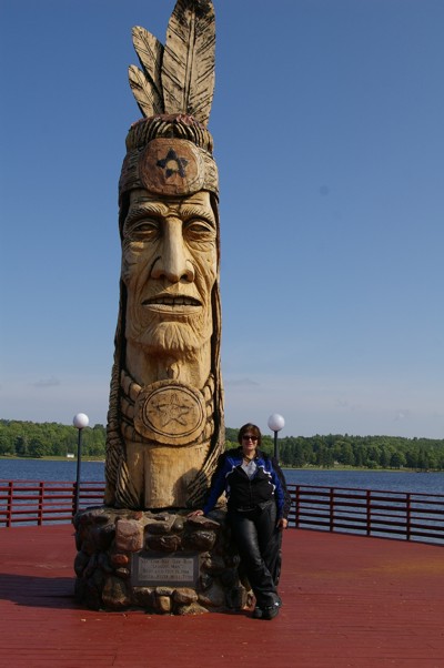
One of three women from San Francisco took my picture by the wooden sculpture.
|
|
Here they are. The wine in the middle will be attending school in Michigan beginning this fall. The other two were driving cross country with her, her car, and belongings to her new apartment. The school has a Finnish connection. She will be taking nursing and part of her practicum will be in Finland.
|
|
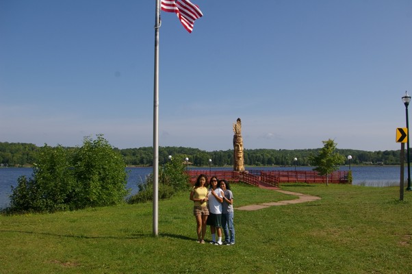
Once you leave the tourist center, you drive around the lake to continue on Highway 28. You might be able to see the totem across the lake.
|
|
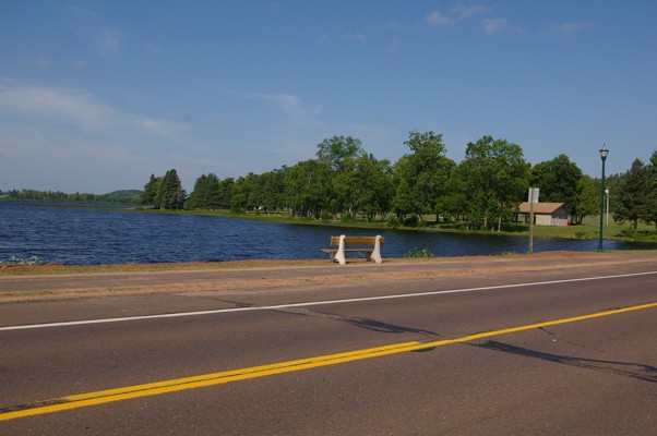
What a beautiful place it would be to take a walk or ride a bicycle!
|
|
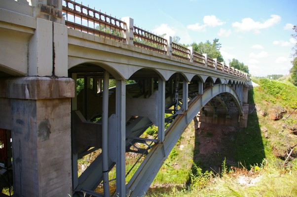
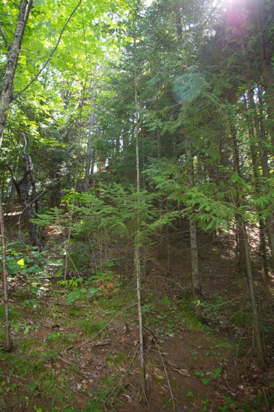
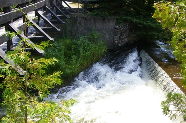
Every so often I have to stop to stretch my legs. I'm glad I stopped at the Agate Falls rest area. You park in an area beside this bridge then you walk under the bridge to the falls.
|
|
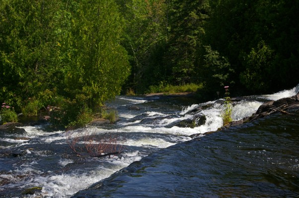
Along the way you could see how badly the soil has eroded from water washing down into the gully.
|
|
Not a great picture... I included it to show you how the soil underneath one end of the train bridge (just beside the traffic bridge) has washed away to the point that you wonder if the bridge will last.
|
|
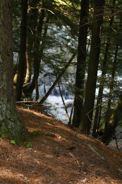
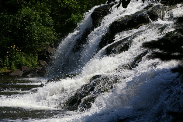
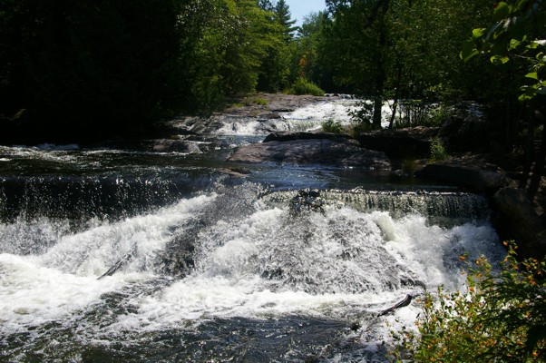
The falls aren't too far from the bridges. As you walk down the path towards the falls, you can see the fast-moving water.
|
|
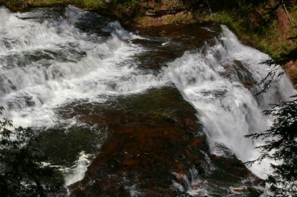
Take note of the color of the rocks. Agate Falls is obviously named for the the agate found at the falls.
|
|
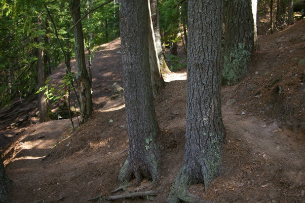
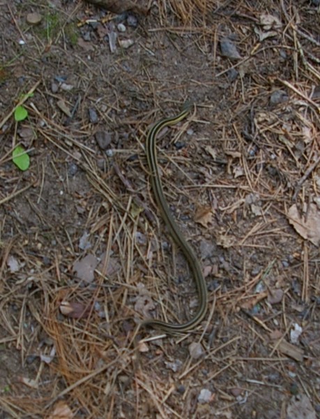
On the way back to my motorcycle I saw this small snake cross the path. I pointed it out to a family (a mother and two children) that I had talked to in the parking lot. When I got back to my motorcycle, the father was still near their car. It seems he was waiting for his mother, father, and sister to arrive from the opposite direction. He made a suggestion. If I liked Agate Falls, he told me, I should visit Bond Falls which could be accessed up the road. I thought I'd give it a try. What he didn't explain was that the falls were several miles from the main road. I kept riding and riding and riding my motorcycle. I was about to give up when I finally saw a sign telling me the falls were just ahead.
|
|
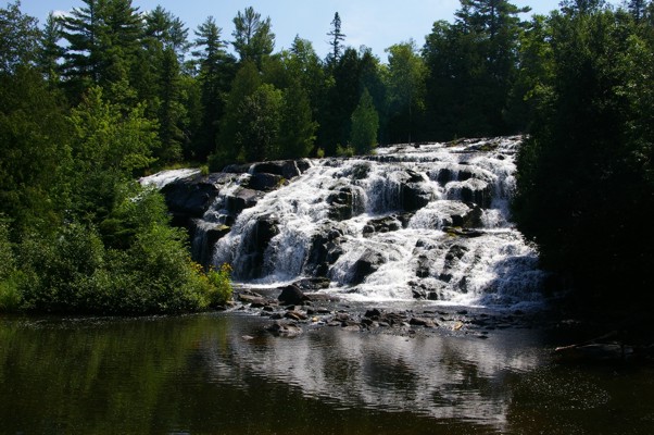
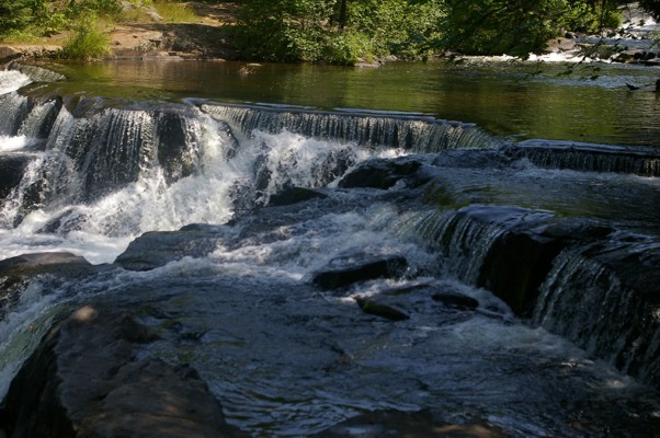
I'm glad I didn't give up. Here is Bond Falls. This is just the base of the falls.
|
|
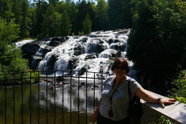
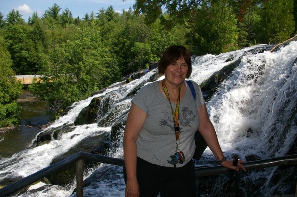
A couple was nice enough to take my picture from the walkway in front of the falls.
|
|
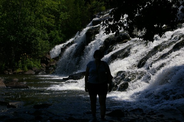
Then I found out that you could walk right out on the rocks to get your picture taken very near the base of the falls!
|
|
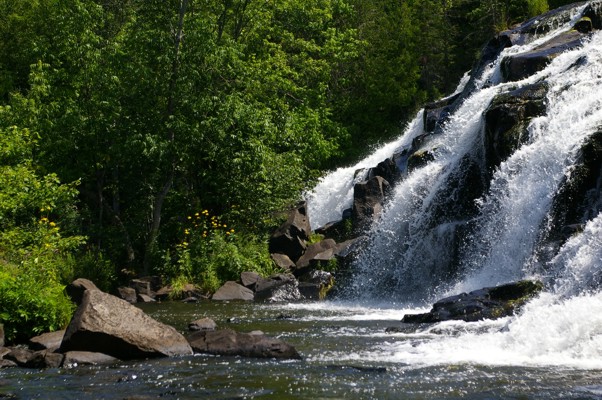
I was able to get this and the next picture from my viewpoint on the rocks at the base.
|
|
The water surged strongly into the pool below.
|
|
As I said, this was only the base of the falls. I decided to take the hike up the hill to see more of the falls.
|
|
At this level, you were so close to the falls that you could lean out and touch the water.
|
|
The base of the falls is no longer visible. By this time, I had climbed at least the equivalent of three stories.
|
|
From the same vantage point, you could see yet some more of the falls.
|
|
I have always been fascinated by moving water. I don't think I'm the only one. Many people along the path were as transfixed as I was.
|
|
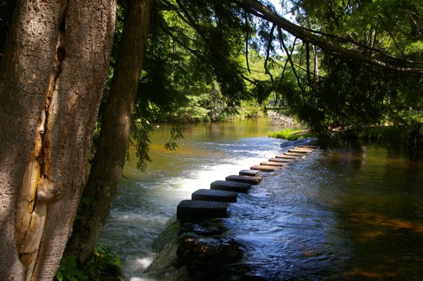
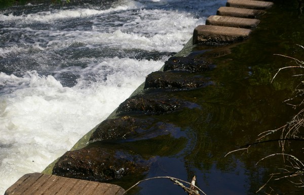
Near the top of the falls you could go to the other side by walking across these stones.
|
|
I was tempted but a good look at the first few stones indicated just how slippery they were. There was no way I would be taking a fast (and painful) trip back down to the bottom.
|
|
A bit further up, there was actually a little bridge which crossed the stream just before the elevation drop. Unfortunately it was closed.
|

|
I did find however that the path led up to the road near where I had entered the area. At this point you could see the body of water which directly led to the falls but take note of the high berm behind the ducks.
|
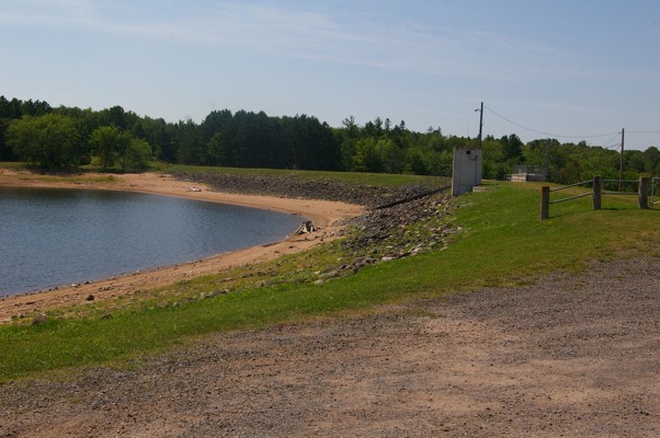
|
Water is fed into the pond from a larger lake which sits behind the berm. It explained a sign I saw along the path on the other side... Danger! High water when sirens sound. The sign had been in a completely dry, rocky spot.
|
|
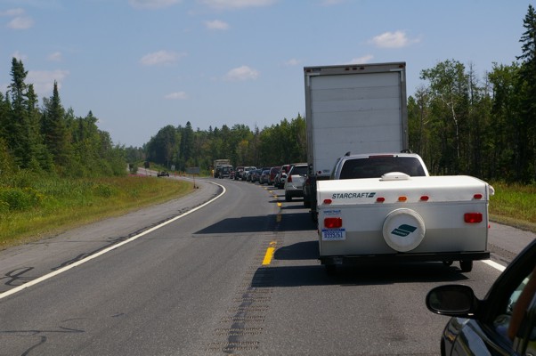
My sojourn at Bond Falls put me way behind schedule to arrive in or past Sault Ste. Marie that night. I was therefore quite unhappy to see that there was single lane traffic ahead and we would have to wait. It was hot, my riding gear was stifling and heat radiated from the ashphalt.
|
|
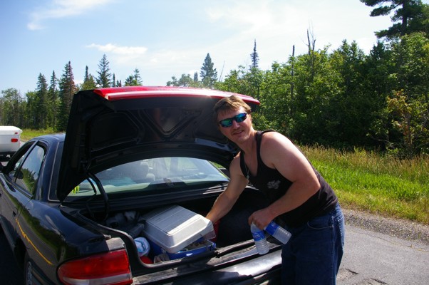
In the car ahead of me, a young man jumped out of the car to put something in the trunk. While the trunk was open, he shouted out to the people in the car, "Who wants some water?"
In my head, I replied, "ME!" I was therefore surprised when he turned to me and asked, "Do you want one too?" My hero! The young man saved me from melting right there on the ashphalt.
|
|
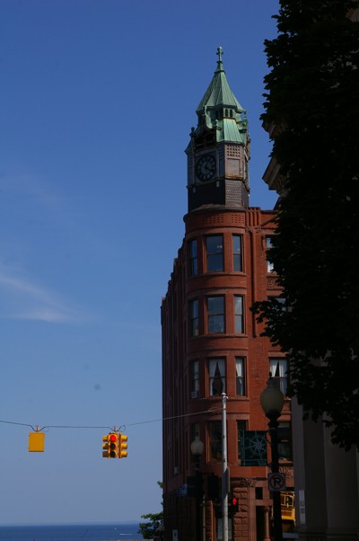
It seemed to take forever but finally I was in Marquette. Marquette boasts many beautiful red stone buildings. This one is on the corner of a main street near the water.
|
|
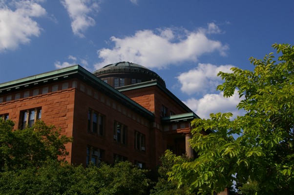
This domed building was on a street leading away from the water. It was across the street from...
|
|
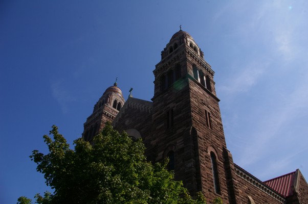
... this gorgeous church. Although the brick is not red, it IS pink. I actually remember this church from when I was last through Marquette. A picture of it might actually be on my Kingston ride page.
|
|
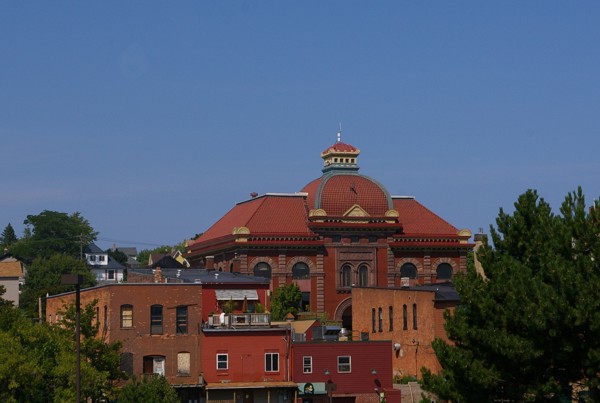
Here is one last picture of the beautiful red buildings in Marquette.
|
|
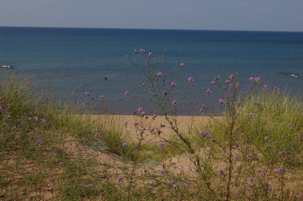
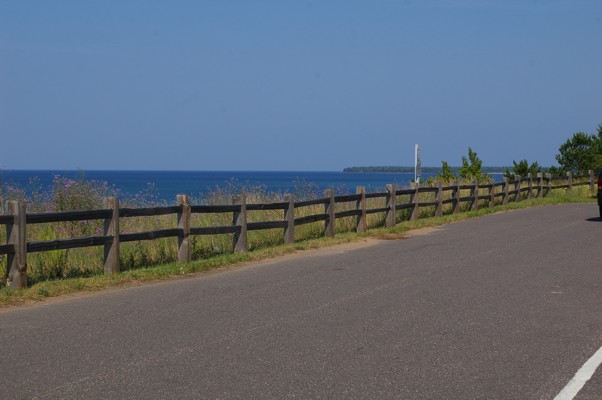
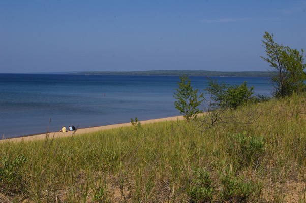
It was strange to travel along the highway from Marquette towards the Sault Ste. Marie. Strange because my GPS told me that Lake Superior was perhaps 100 m to my left. Most of the time I simply couldn't see it. The trees were too tall and too dense. On the occasions that you could see the beach, the water was a beautiful shade of blue.
|
|
Sometimes there were special roads which took you to the other side of the trees so that you could admire the long, long stretches of beach.
|
|
Considering how beautiful the beaches were, I was surprised how few people were taking advantage of the water.
|
|
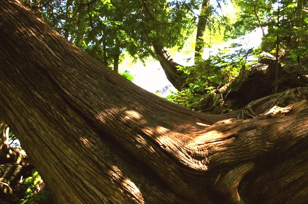
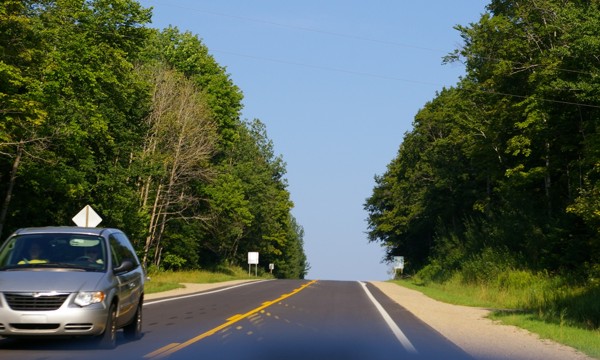
Here's a picture showing just how thick and tall the trees were.
|
|
At a gas station in Sault Ste. Marie (US side), I need to get directions to the bridge linking the US to Canada. Why? Each time I asked my Garmin to give directions, it took her route circling around Lake Superior to get to the other side. Has Garmin heard of bridges? The fellow who helped me lives in the Sault but had worked as a trucker out of Winnipeg for several years.
|
|
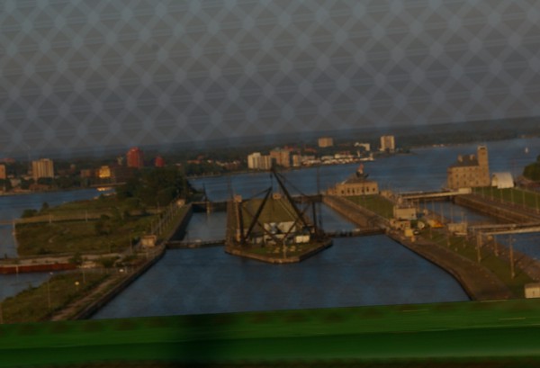
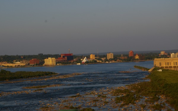
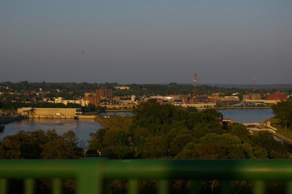
The bridge is a long one and you are not allowed to stop on it. I was however able to snap a few pictures as I drove along...
|
|
... because I was the only one crossing at that time.
|
|
It's actually too bad that this and other bridges have no scenic stops on them. Sometimes the best views can be found on bridges.
|
|
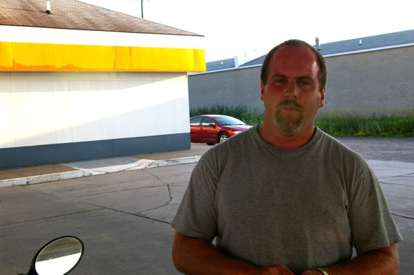
The fellow at the gas station had also given me directions to the new highway out of the city. I wasn't certain I had followed his directions properly so I stopped at another gas station. I met Curt there. Cute, isn't he?
|
|
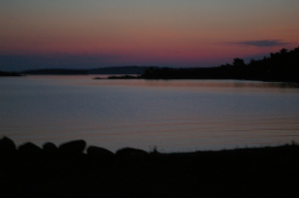
I decided to push on to Thessalon for the night. The gentleman who had given me all the directions had also told me about the Caroline Beach motel. I'm glad he did. Nice place, nice people, nice sunset.
Next Day
Return to Main Page
|