Day 12
Custer, SD to Sundance, WY
The Black Hills - Day 2


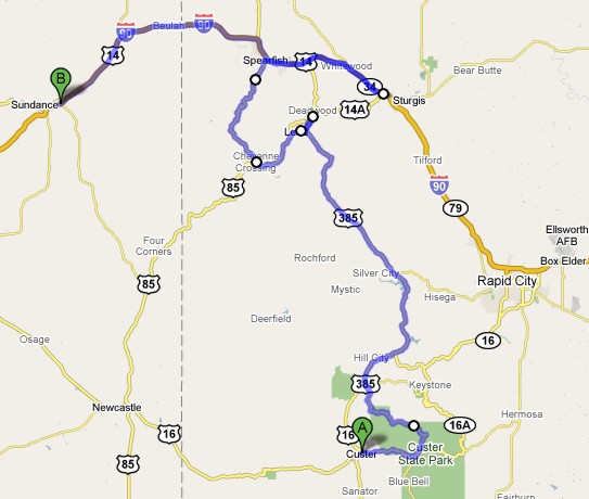
Map of Day 12 to left.
|
Day 12Custer, SD to Sundance, WYThe Black Hills - Day 2 |
|
|
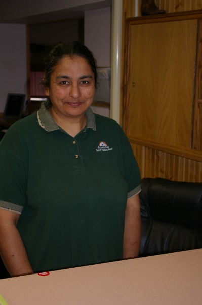
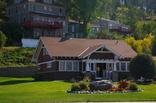
At every hotel/motel stop, you meet a new group of people. This lady from the Dakota Cowboy was the sweetest one I met. Very helpful and friendly. |
|
|
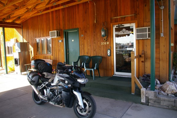
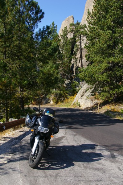
So it was time to hop upon my steed and head down the highway. |
|
|
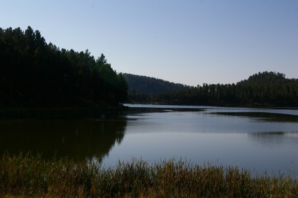
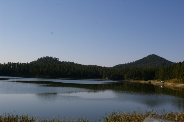
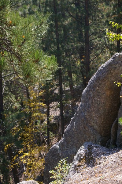
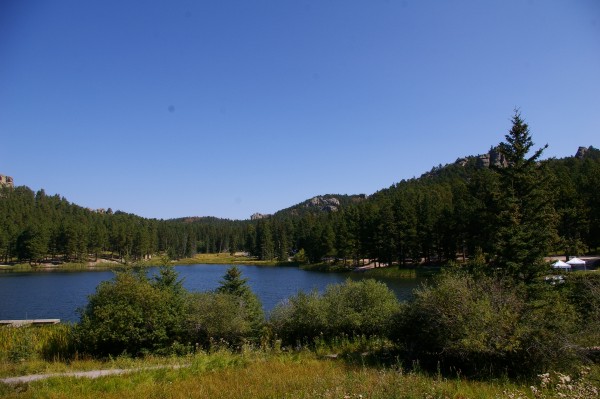
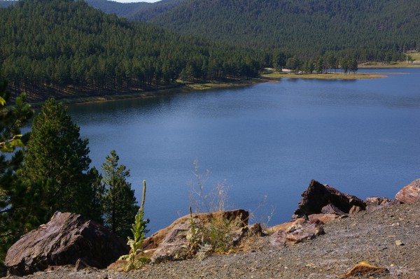
From Custer, I got to see a part of Hwy 16A that I'd missed the day before. First up, Stockade Lake. |
|
|
Isn't it interesting? Part of the lake is absolutely still but other parts are rippling in a light breeze. |
|
|
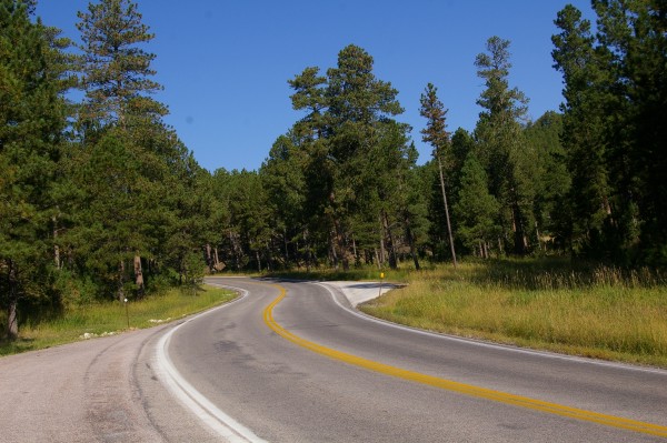
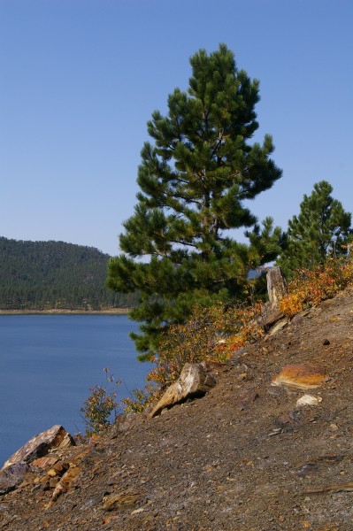
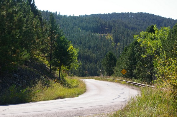
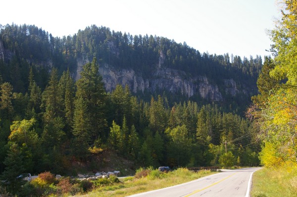
Along 16A... |
|
|
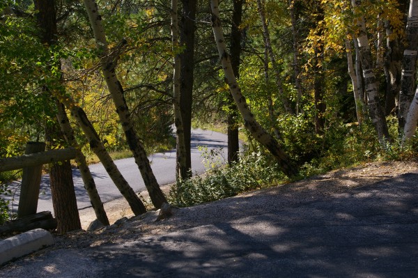
... gentle curves and relaxing scenery. |
|
|
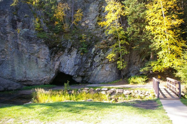
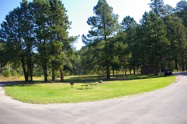
This was a picnic area called... Hole in the Wall. Gee, I wonder why? |
|
|
The picnic area was small but very inviting. |
|
|
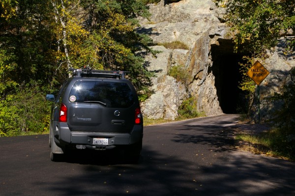
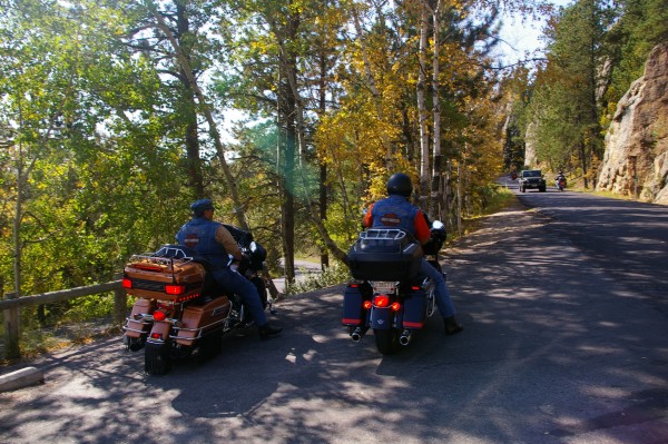
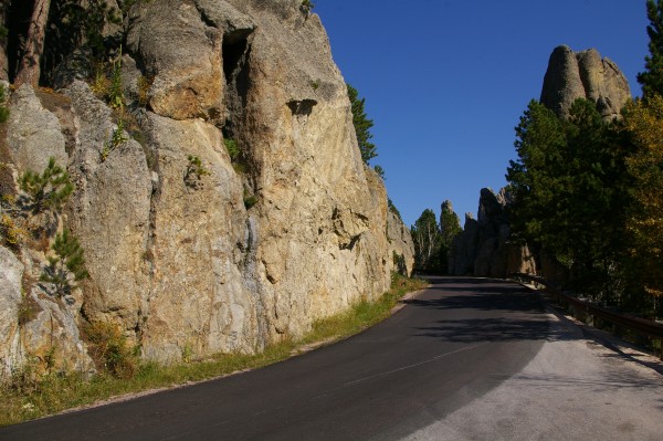
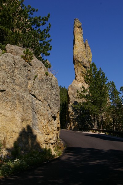
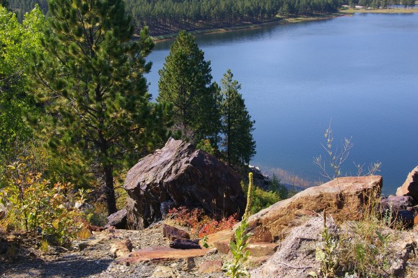
I retraced a bit of my ride from the day before, once again passing Legion Lake, then it was on to the Needles Highway! Once again, I had the treat of riding very twistie roads and travelling through one lane tunnels. |
|
|
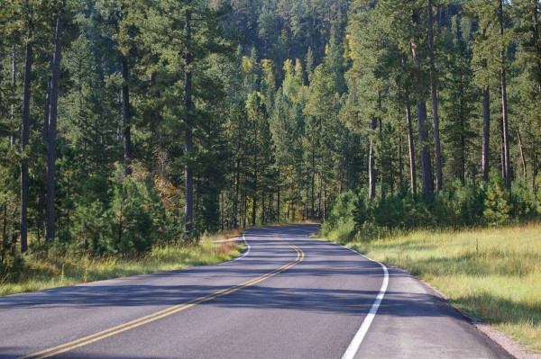
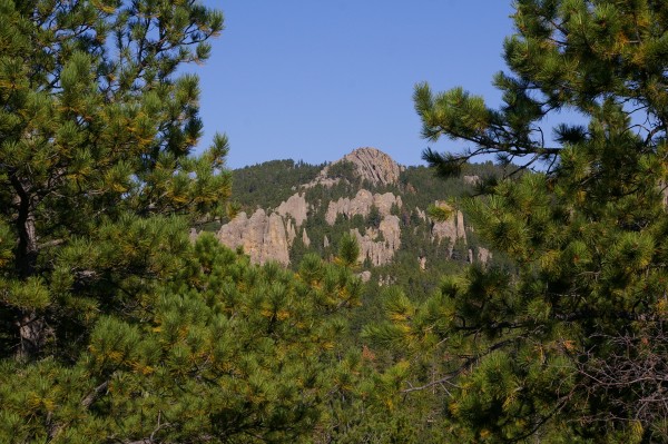
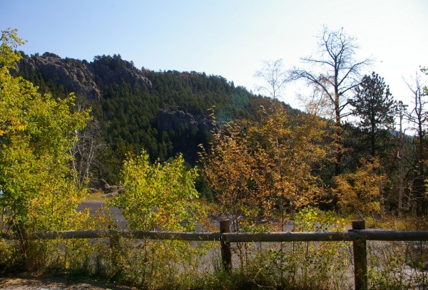
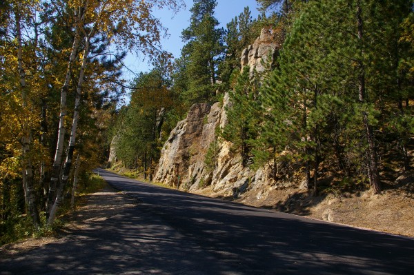
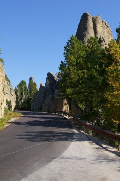
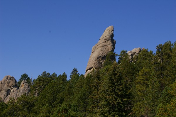
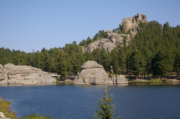
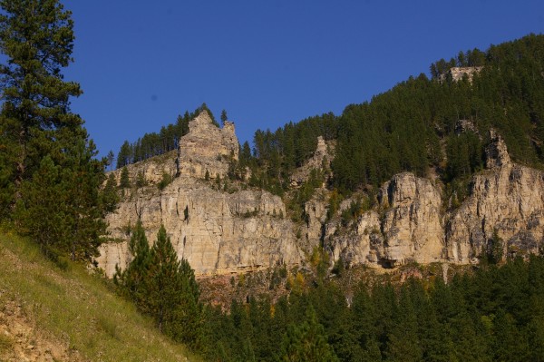
I think the Needles Highway (87N) was more scenic AND had better twisties than 16A which I'd travelled the day before... |
|
|
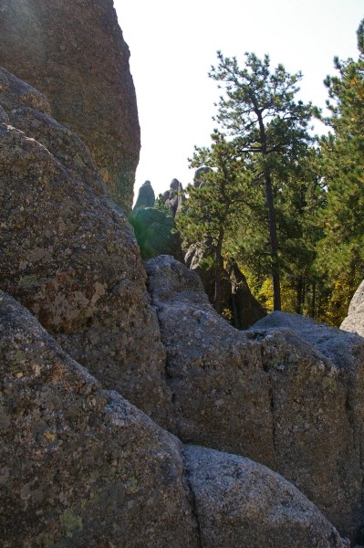
...especially when I got to the "Needles". |
|
|
I stopped many times along this highway... |
|
|
... as did other motorcycle riders... |
|
|
... to admire the scenery... |
|
|
... and to check out where I was headed... |
|
|
... and the roads that had brought me this far. |
|
|
You really couldn't stop EVERYWHERE (there were just too many gorgeous views) but I had to stop HERE. |
|
|
You were right in the middle... |
|
|
... of a bunch of the "needles" that you had just admired from a distance. |
|
|
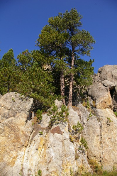
Isn't it awesome how trees can take root just about anywhere? |
|
|
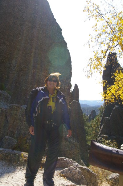
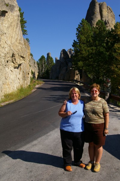
While parked at this corner, I chatted to some women. They were friends, one from BC and one from Ontario who were travelling together through the area. |
|
|
I was just about ready to take off... |
|
|
... and was taking "just one more" picture... |
|
|
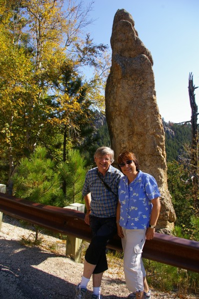
... when I noticed this adventurous man climbing up one of the spires. His wife took a similar picture to this one. She then asked if I would mind taking a picture of them up there, together. I said I would. Why not? A beautiful place to hang out for a little while longer, don't you think? |
|
|
I thought they were part of the Canadian group but they were not. The Canadians drove off as I admired the view. |
|
|
As I waited for the lady to climb where her husband was... |
|
|
... I wondered where their car was. |
|
|
The only vehicle left on the bend was my bike. |
|
|
Evelyn and Ernst had parked their rent-a-car around the bend and hiked up the road to where I had stopped. They are from Germany and we laughed about how I'm a Canadian and own two German vehicles... Thor, my BMW K1200R and a Volkswagen Jetta. They were on holiday and were spending part of their vacation in the Black Hills. I hope I hear from them because I was so intent on taking good pictures of them up in the rocks, that I forgot to snap at least one with my own camera!! I told them how I'd very much like to tour in Germany but NOT on the Autobahn. They told me that even travelling 180 kph on it, motorcycles often whizz right by cars as if they were standing still. Me, I'm not that much of a speed freak!! |
|
|
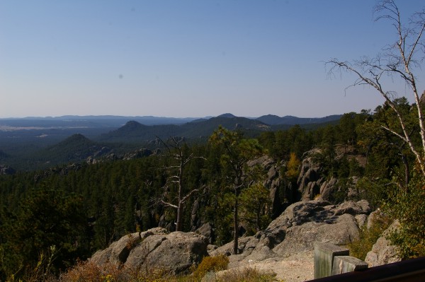
As I progressed along the Needles Highway, I saw more... |
|
|
...and more awesome views. |
|
|
This "needle" reminded me a a little alien. Can you see his eyes and two arms? |
|
|
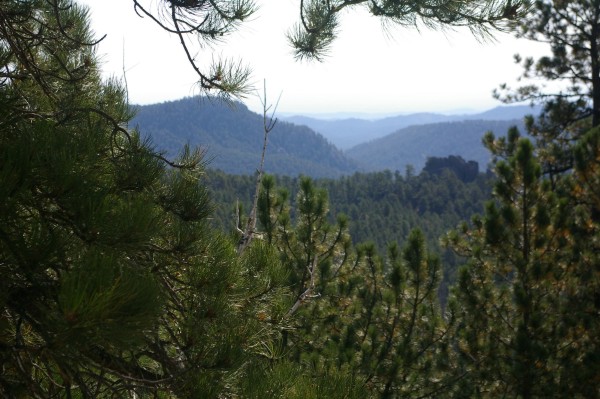
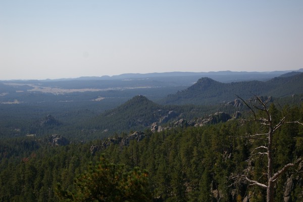
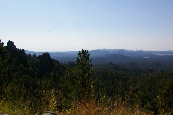
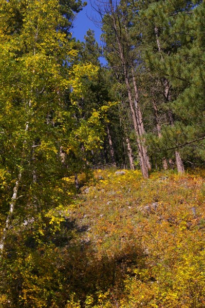
One thing I love about moutain views is the "layer" look. As you look farther and farther out, the mountains "dissolve" into the skyline. |
|
|
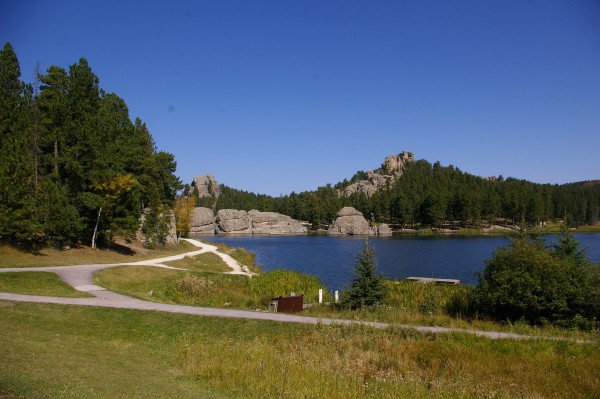
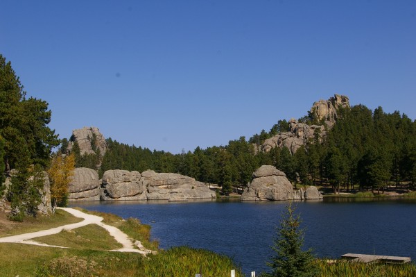
This is Lake Sylvan... |
|
|
... certainly a pretty place to pause along the way. |
|
|
I wonder how cold the water is? |
|
|
It certainly looks inviting enough to take a dip but you'll notice there's not even anyone ON the lake, never mind IN it. |
|
|
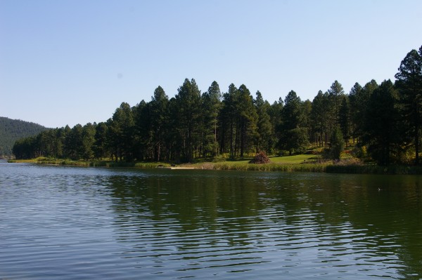
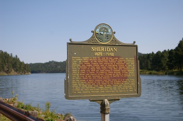
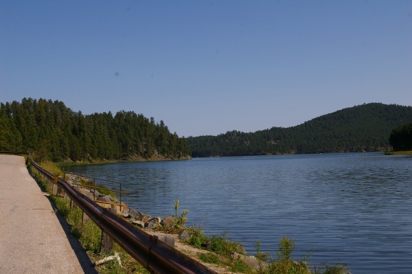
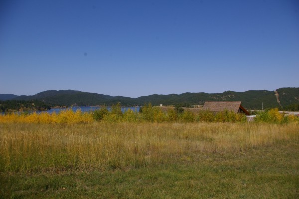
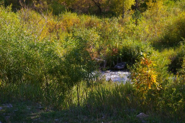
Once I turned off 87 and headed north on Hwy 385, I came to another pretty lake: Sheridan Lake. |
|
|
This plaque tells how the town of Sheridan is now under water. A dam was built in the 1930s and eventually flooded over the (then) ghost town of Sheridan. |
|
|
Perhaps the ghosts now enjoy their resort-like lake. |
|
|
It certainly is pretty along the shoreline! |
|
|
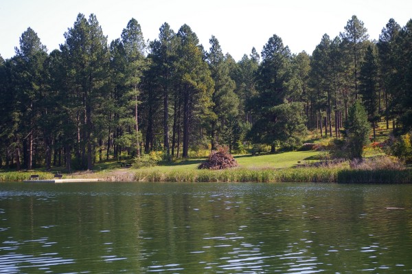
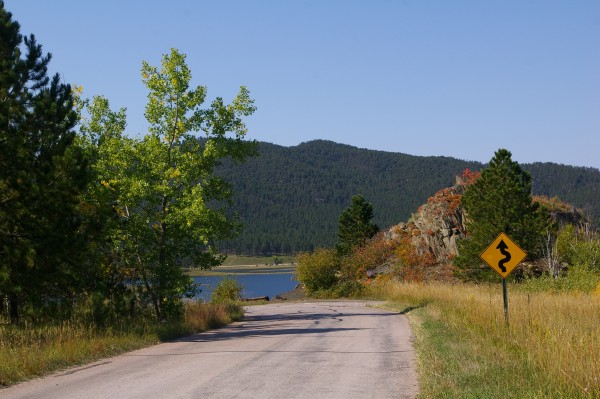
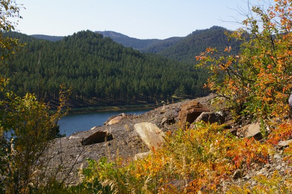
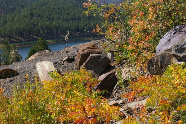
Still further along 385, I stopped to take a picture of this lake through the trees... |
|
|
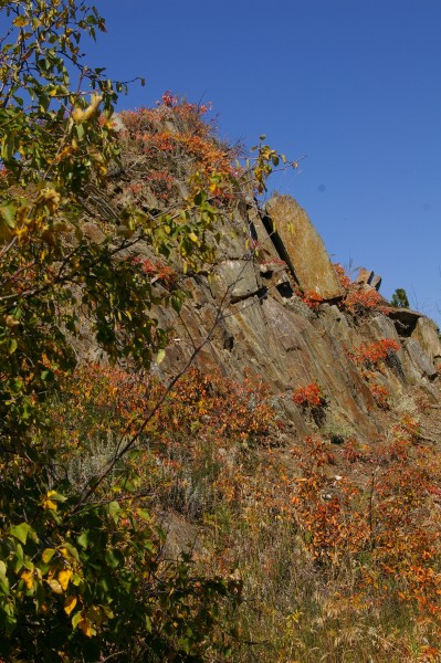
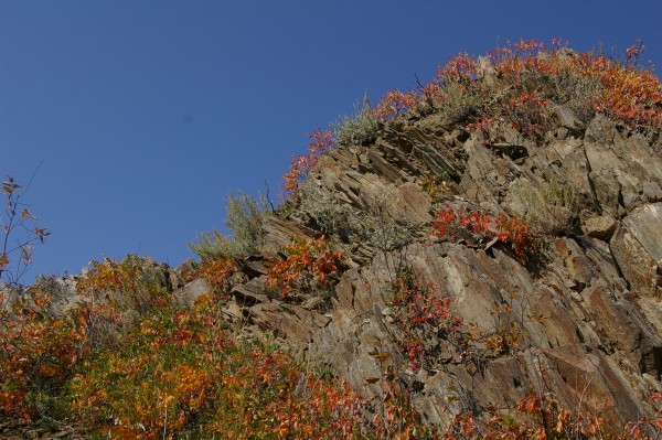
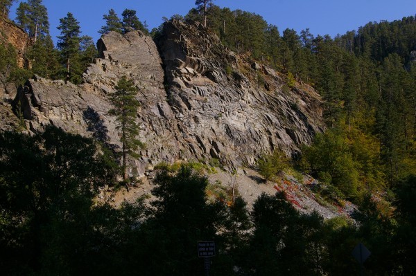
... and hike across the road to take a good look at the shale rock. I liked the textured look of the layers of rocks. |
|
|
Of course I had to get closer to the lake... |
|
|
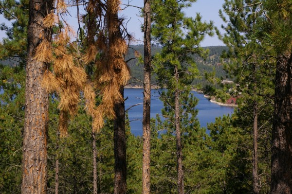
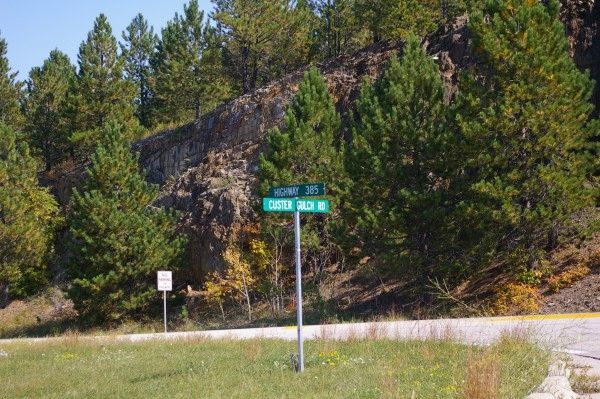
... so I turned down a side road (Custer Gulch Road)... |
|
|
... towards Lake Pactola. |
|
|
I'm glad I took that slight detour... |
|
|
... because I was able to take... |
|
|
... all these colorful pictures... |
|
|
... from my new vantage point just off the highway. |
|
|
Ok... time to just sit back and enjoy... |
|
|
... |
|
|
... |
|
|
... |
|
|
Onward! |
|
|
As you reach the end of Hwy 385... |
|
|
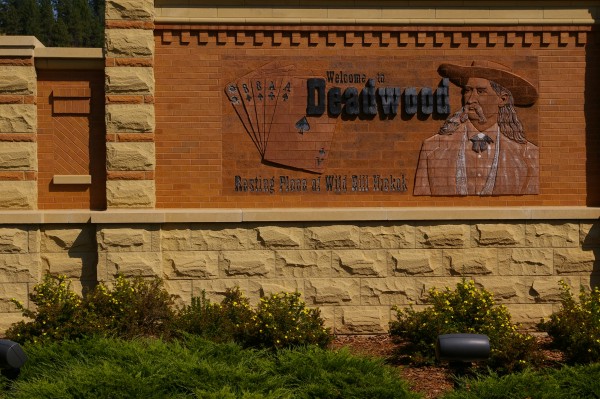
...you have a choice to visit Deadwood or its twin city of Lead. I first chose Deadwood. |
|
|
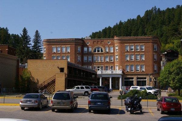
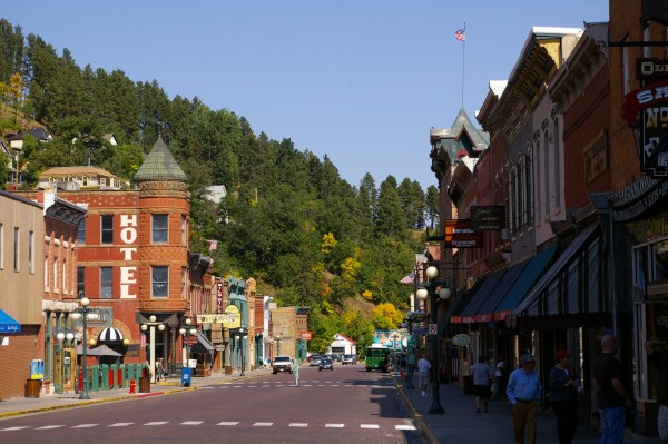
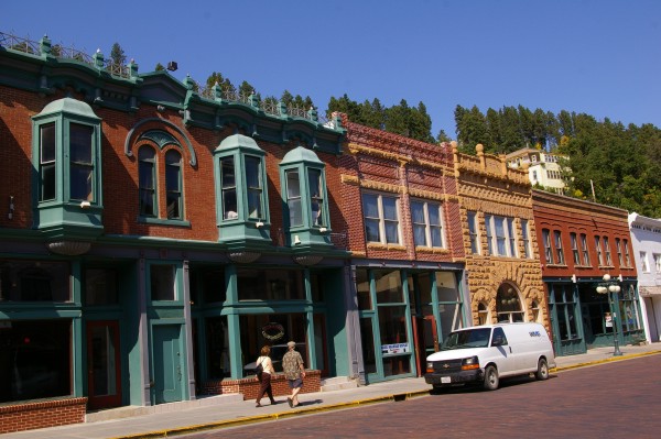
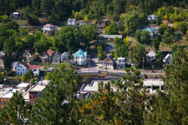
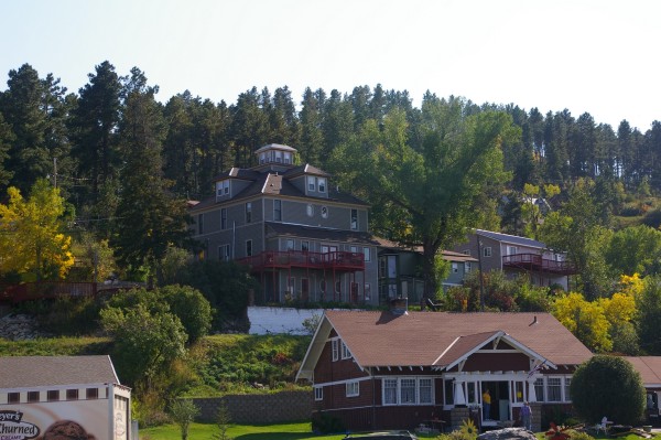
Deadwood is a very pretty place. |
|
|
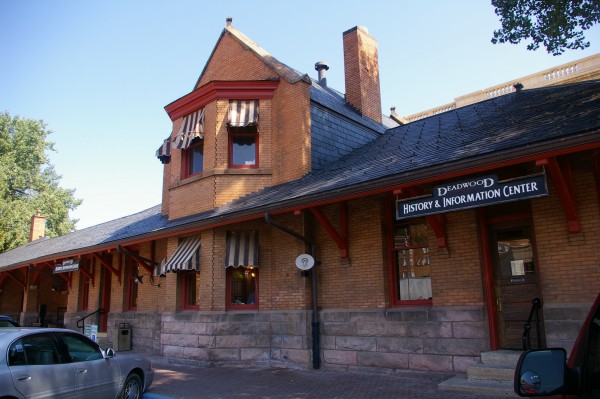
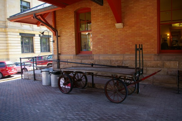
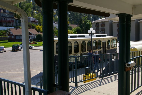
The old railway terminal has been converted into a History and Information Center. |
|
|
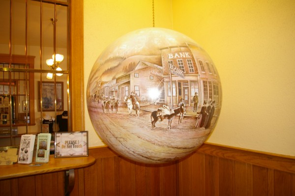
Pictures are displayed on the wall of some of the key times in the history of the city. I particularly liked this large, turning globe with a painting of the old town on it. |
|
|
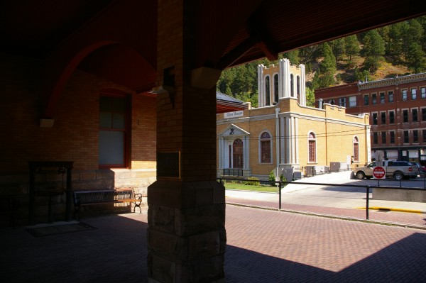
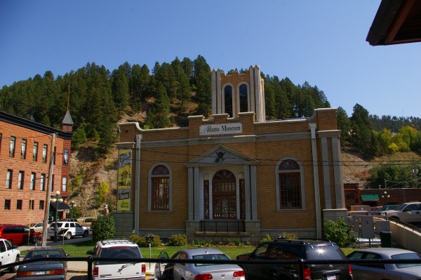
From the train platform you could see... |
|
|
... the Adams Museum... |
|
|
... and in the opposite direction the historic Franklin/Silverado Hotel... |
|
|
...and to the right (pink ground level, stone top) Hickok's Hotel and Casino. |
|
|
Standing on the platform, I almost expected an old steam engine and cars to pull into the station. |
|
|
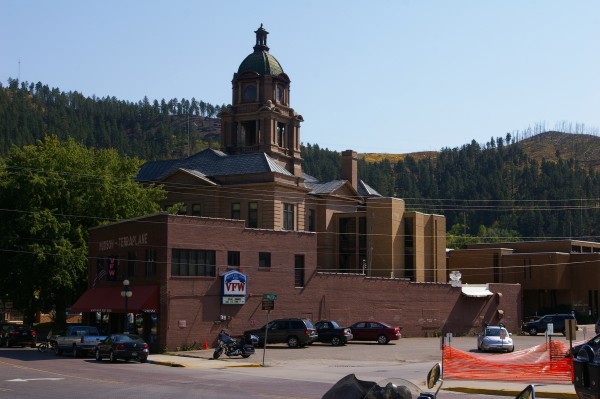
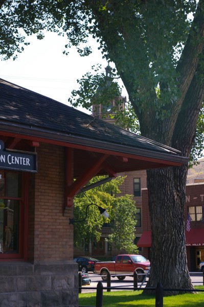
You can JUST see the spire of the Lawrence County Courthouse above the train station and through the tree leaves. |
|
|
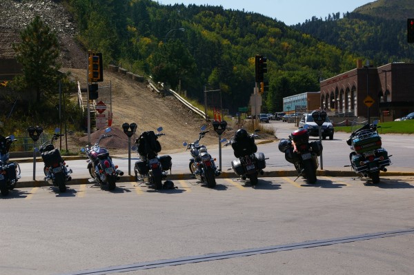
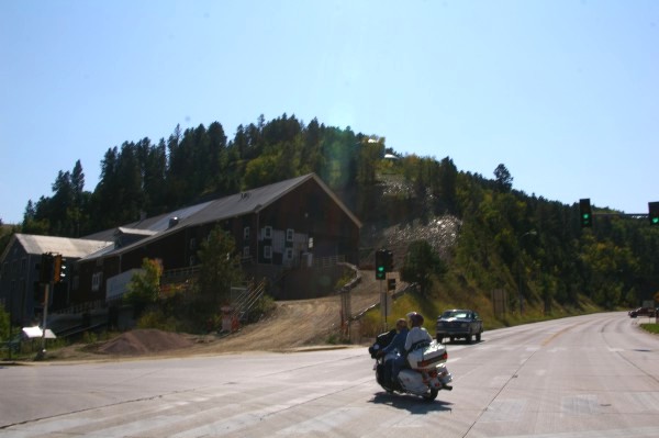
Now THIS is what I call a civilized city! Parking for your horse... errr... motorcycle! |
|
|
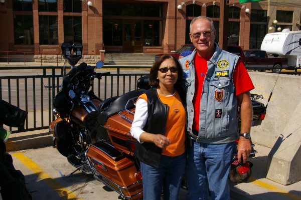
I very briefly talked to this couple who organize tours (I think) for their motorcycle club in South Dakota. |
|
|
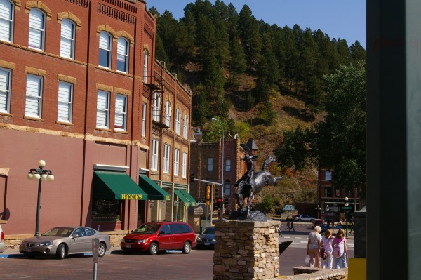
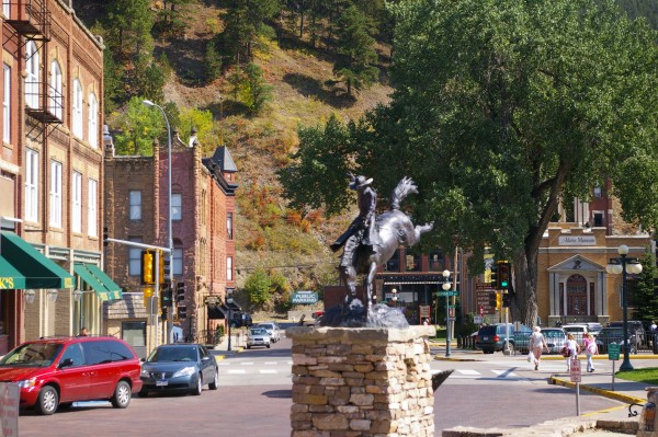
I took a quick ride down the main drag and saw this bronze statue outside the Hickok Hotel and Casino. |
|
|
... |
|
|
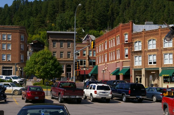
A snapshot down the main drag. The buildings on the left side of the street are apparently more modern than on the right side of the street. |
|
|
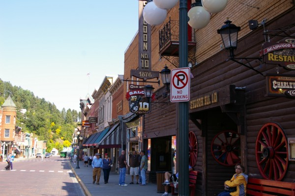
Saloon No. 10 (hidden behind the no parking sign) is evidently where Wild Bill got shot down in his tracks. |
|
|
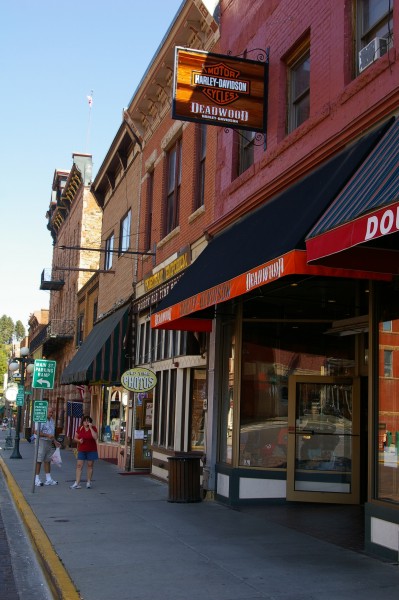
And of course, just a few doors down from that outlaw saloon is the local Harley Davidson dealership. |
|
|
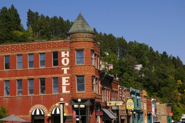
I liked the look of this corner hotel... |
|
|
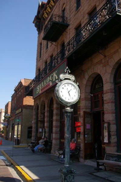
...but it's the Bullock Hotel with the great clock in front that's historic. |
|
|
The storefronts were all "old west" which was great. |
|
|
The main drag ends because there's just no more room for it. |
|
|
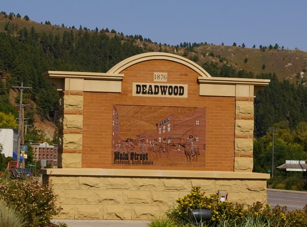
Whoever made these Deadwood signs (this one for Main Street) did a fabulous job. |
|
|
I went back the way I'd come into town and took a picture of this building which seemed to be some kind of mining depot. |
|
|
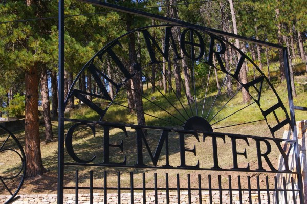
Then it was off to Boot Hill... |
|
|
...which, believe me, was quite a climb. I got stuck behind a bike fully loaded and also with a passenger travelling really SLOW up the hill. My bike does not like idle speeds and protested on going so slow. |
|
|
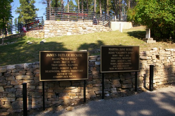
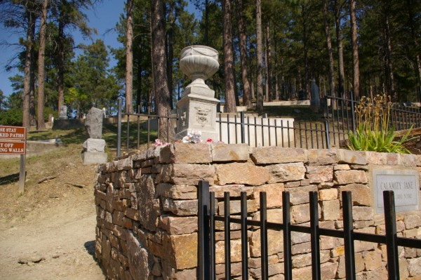
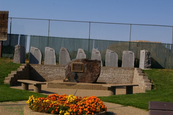
The most famous residents (to the general public) of Boot Hill are Wild Bill Hickok, Calamity Jane... |
|
|
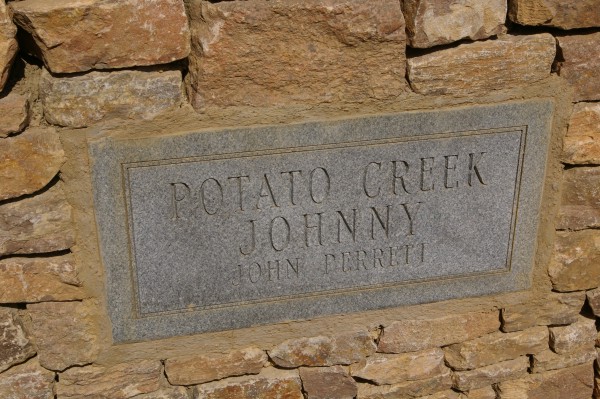
... and Potato Creek Johnny. |
|
|
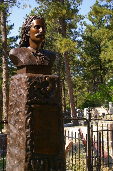
James Butler Hickok has a bronze head marking his remains... |
|
|
...and Martha Jane Burke lies beside him by her request. |
|
|
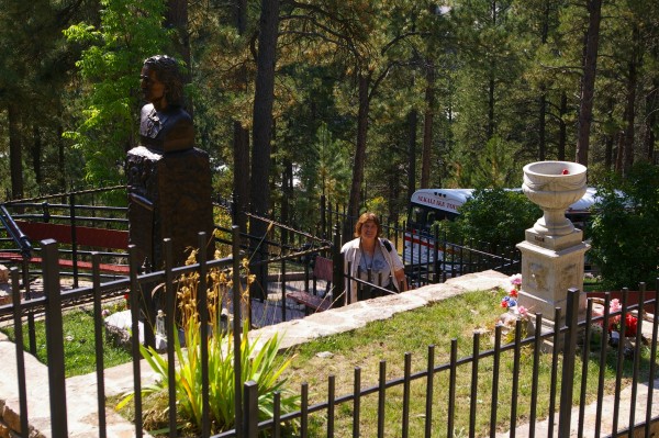
The grounds were so steep that I got lazy and asked a man already above the graves to take a picture of me by Wild Bill's and Calamity's burial sites. |
|
|
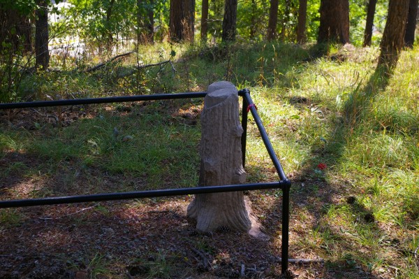
I liked this grave marker in the shape of a tree stump. I wouldn't mind something similar but smaller for myself when it's my time. |
|
|
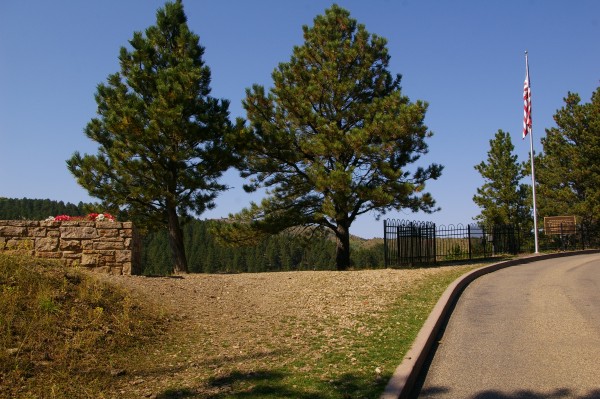
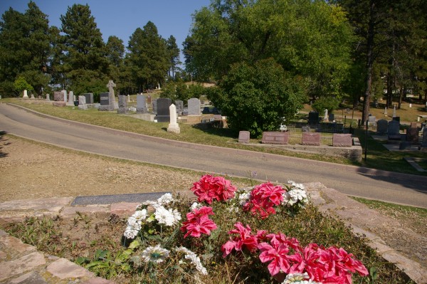
If you walk further down David St. (inside the cemetery) to Calvary St., you get to a site where the cemetery has special permission to fly the American flag 24/7 to honor the veterans buried nearby. |
|
|
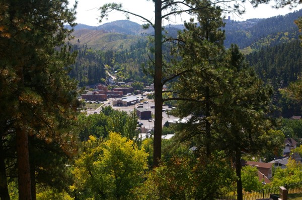
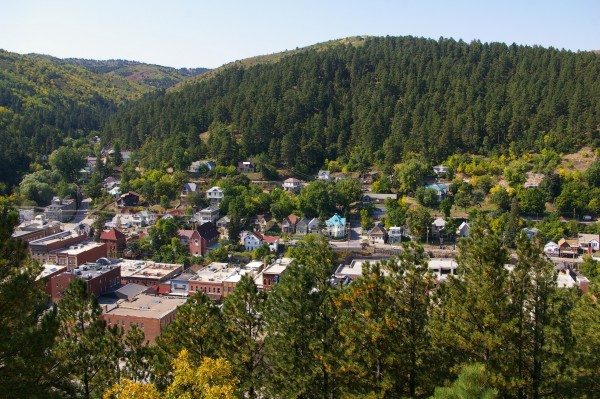
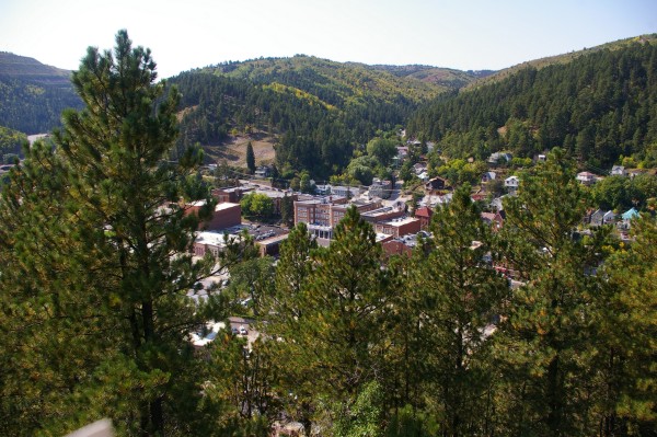
From there you can look out over the city of Deadwood. |
|
|
The areas you're viewing are all west of Main Street. The view doesn't include Main Street from this overlook. |
|
|
The lady who collected my $2 to visit the cemetary said the view was special and she was right. |
|
|
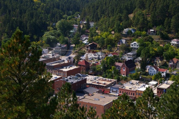
A view of the cemetery down Calvary St. |
|
|
Another view (SW) as I walked out of the cemetery following David St. |
|
|
After lunch at a Mexican food place in Deadwood, I headed for Lead, its twin city. |
|
|
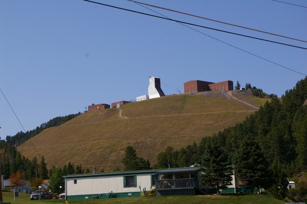
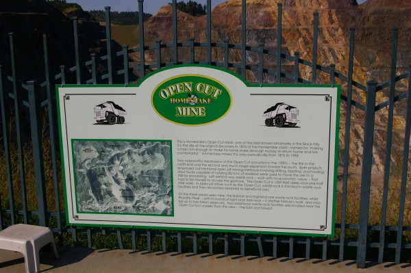
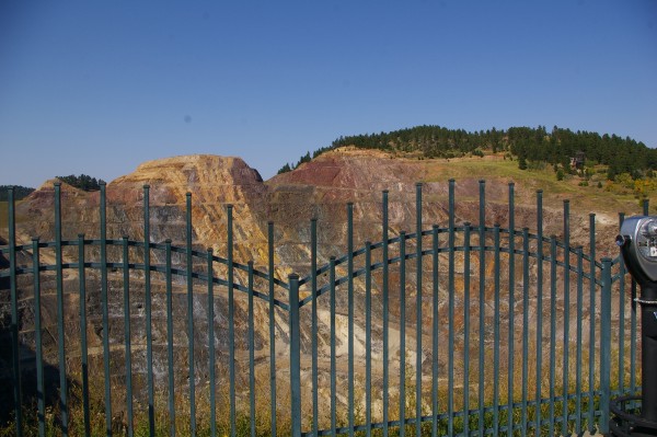
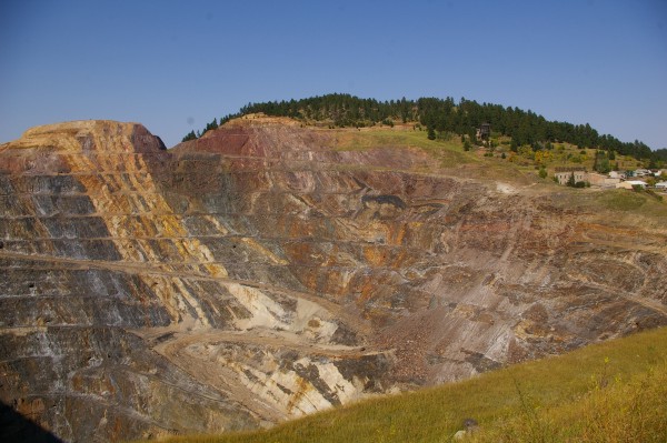
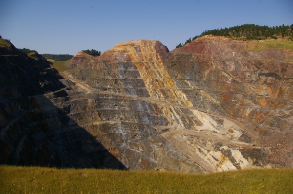
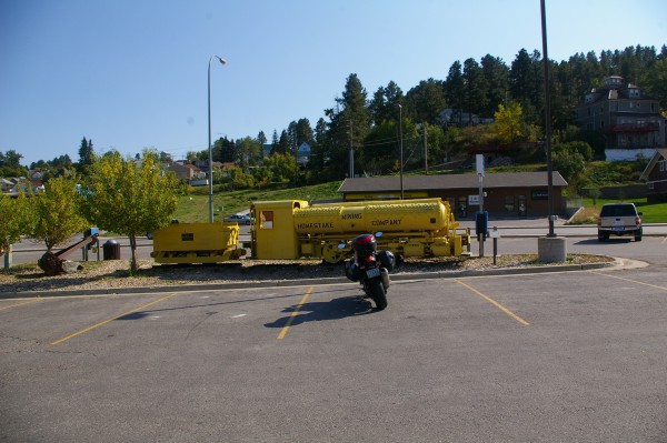
There, you couldn't miss the Homestake Open Cut Mine. |
|
|
Behind the fence, you could see... |
|
|
... how the mine spiralled down, down, down. |
|
|
Last mined in 1998, gold was separated from the other rock and this waste material was taken to spots at a distance from its perimeter to be stacked and reclaimed. |
|
|
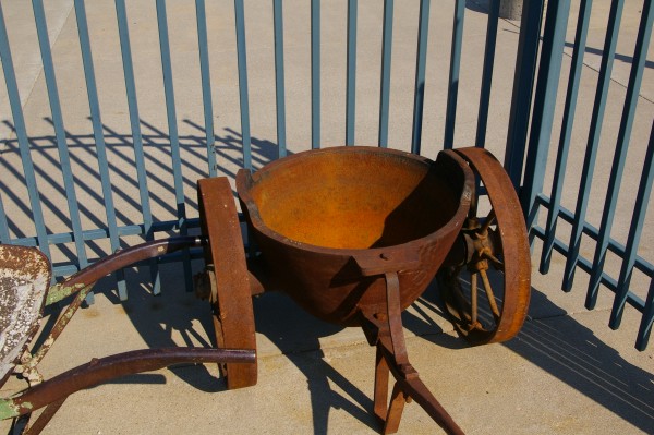
Old mine equipment. |
|
|
I think it might have been fun to ride the train-like vehicle behind my bike down the spiral. HEY! Maybe it would even be MORE fun to drive the bike down! |
|
|
Since they advertised tours of the mine, I assume the trolley type bus is used for this. |
|
|
Across the street from the mine, beautiful buildings... |
|
|
...especially the house with its classy gardens. |
|
|
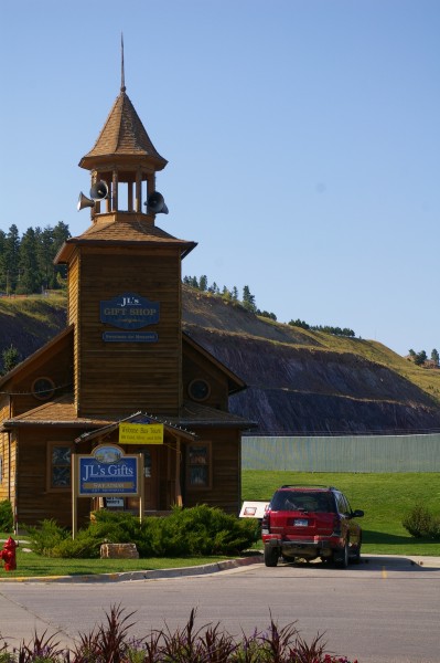
J.L. Gifts offerred Black Hills gold as one of its wares. |
|
|
I continued down Hwy 85S until I got to the junction of it and Hwy 14A. Since I had to wait right there... |
|
|
...I took the time to admire the view. |
|
|
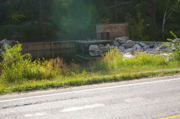
Not too far down 14A, there was a stream running along the road... |
|
|
...and you could see people fishing off the other side of this small dam. |
|
|
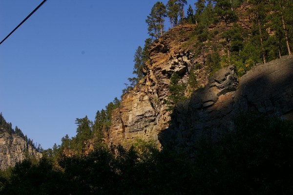
The views along 14A (which I personally renamed Log House Road because of the multitude of those structures) were great... |
|
|
... always changing and always spectacular. |
|
|
The road followed the same stream (now on the right hand side of the road) along the entire ride. |
|
|
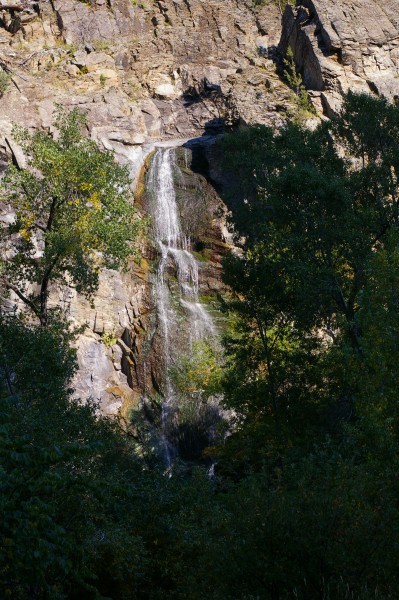
Although the stream was hidden at this point by an outcropping of rocks... |
|
|
... you could view Bridal Veil Falls. |
|
|
Such rugged views! |
|
|
When Hwy 14A reached Spearfish, I "cheated" and took the Interstate (90) to Sturgis. I couldn't very well say I'd travelled in this area and not even bothered to go there. Once I got there... |
|
|
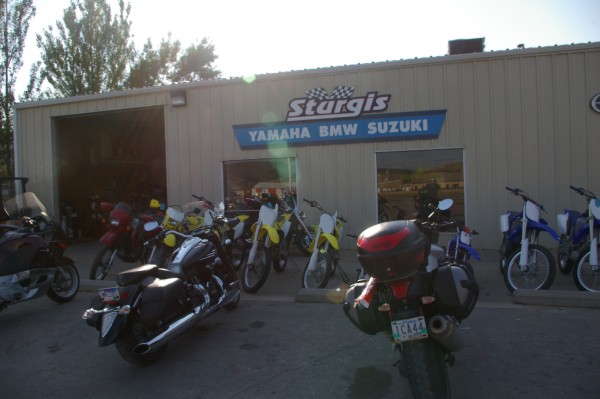
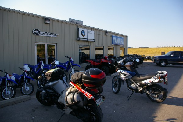
... my first stop was at the BMW/Yamaha/Suzuki dealership. I checked for a part (my gas tank key cap had snapped off) but as usual, you had to buy the complete BMW assembly rather than just the individual part for many $$$. I passed. |
|
|
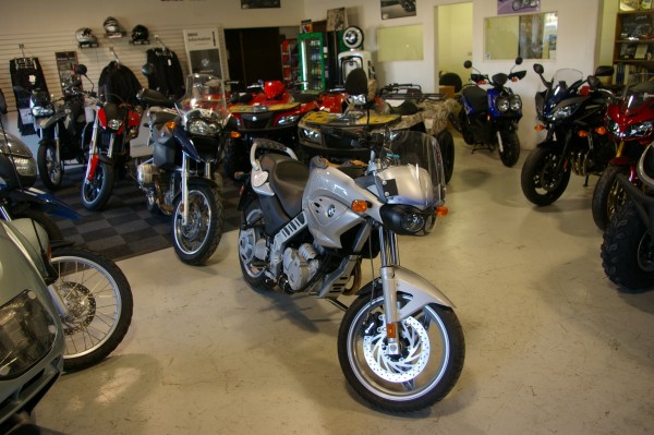
Here's a blast from the past... a used CS with only 4000 miles was for sale. In its sentimental way tempting but the K1200R has spoiled me for anything less. |
|
|
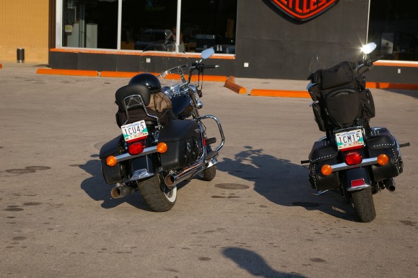
The most notable thing about the Harley dealership in downtown Sturgis was the two bikes with Manitoba plates parked out front. |
|
|
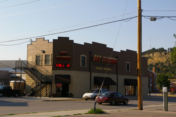
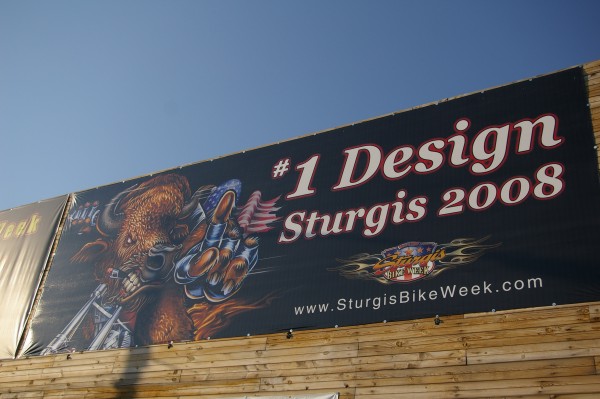
Want "Hot Leathers"? That's across the street. |
|
|
I visited this store for my only Sturgis souvenir... a 2008 pin with crossed pistols. |
|
|
I didn't want to get caught in the dark so I hopped back onto Interstate 90 and went back the way I came. I went through Spearfish and pushed on to Sundance, Wyoming. |
|
|
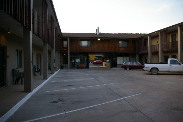
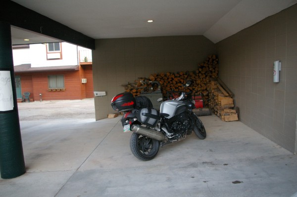
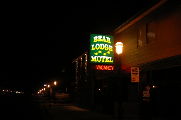
There at the Bear Lodge, I found a nice cubby hole for Thor and then went for dinner. |
|
|
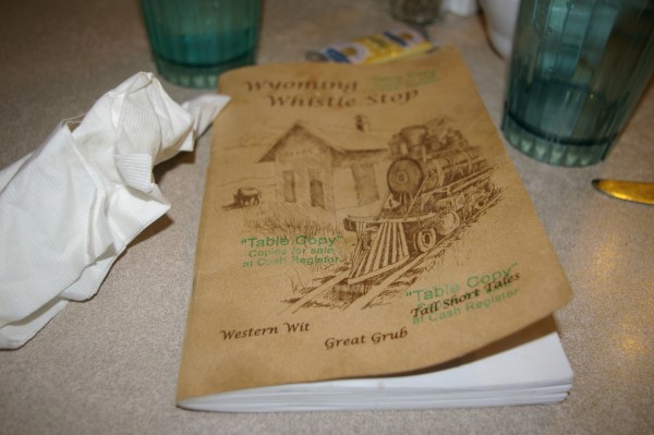
The Aro Restaurant had excellent food. They also had a copy of "Wyoming Whistle Stop" on every table. That book had many stories, recipes, and adages to keep me amused while I waited for my roast beef. |
|
|
I walked back across the street after dinner... |
|
|
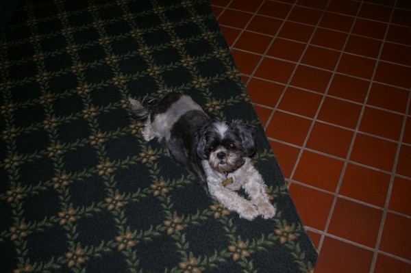
...and visited with the owners' dog before turning in for a much needed sleep. |
|
|
Map of Day 12 to left. |