Day 3
Prairie Du Chien, WI to Rensselaer, IN

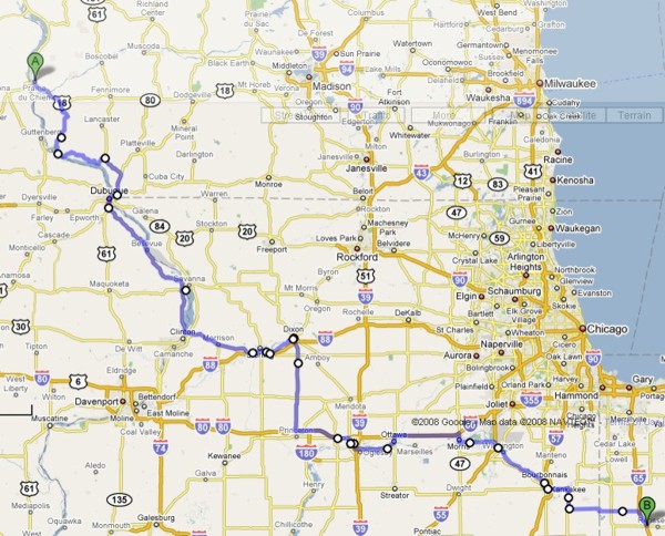
Map of Day 3 to left.
|
Day 3Prairie Du Chien, WI to Rensselaer, IN |
|
|
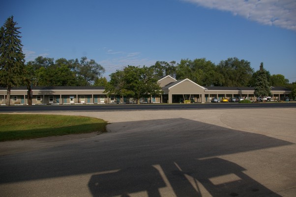
Here's the Brisbois Motel in Prairie du Chien that I was so happy to find in the dark last night. Despite the late hour that I got to bed, I had a good sleep and was on the road today by 9:00 a.m. |
|
|
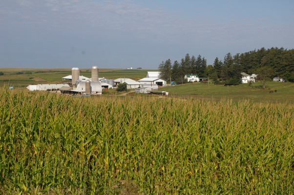
The moment I left Prairie du Chien, I was into Wisconsin corn and (dairy) cattle country. The roads undulated up and down with some curves thrown in for good measure. |
|
|
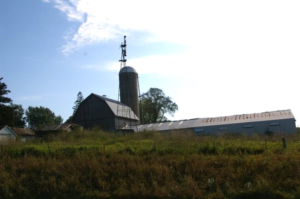
A farm at North Andover |
|
|
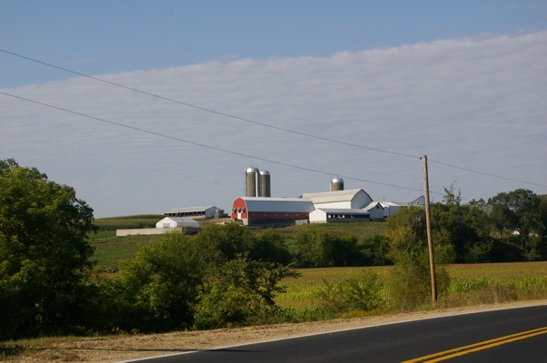
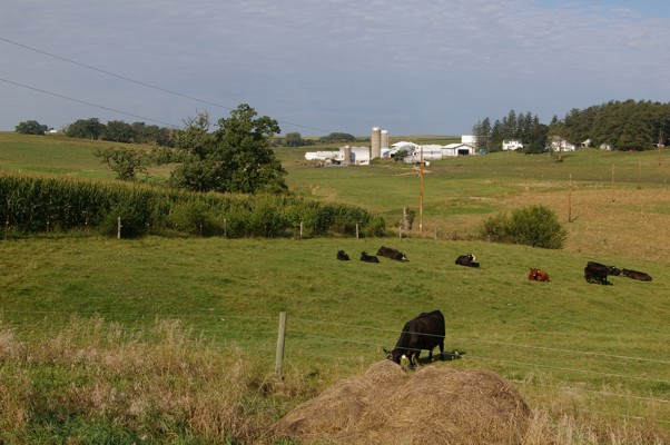
Yet another farm |
|
|
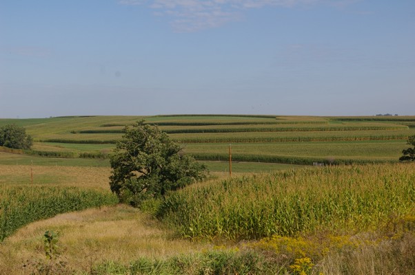
I don't know if there's a reason farmers cut their fields the way they do (most along this road were similar), but I liked the patterns that were created. |
|
|
Wisconsin must be the home of Cheese corn! |
|
|
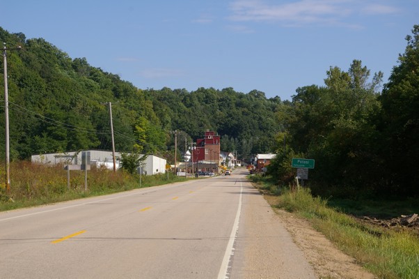
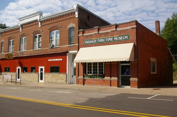
I like the way small, good looking towns popped up along my way as I travelled along the Great River Road. Case in point: Potosi! |
|
|
The "Passage Thru Time Museum" on Potosi's main street. |
|
|
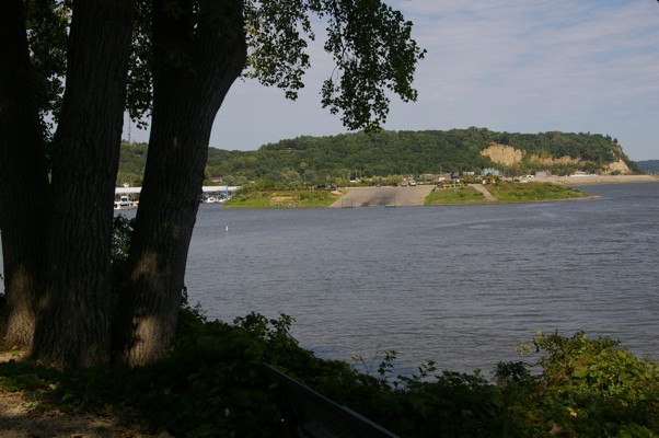
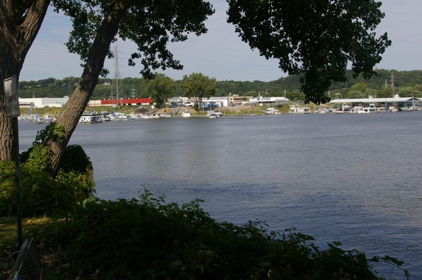
It's a shame that you can't stop on the bridge/highway in Dubuque. It was an AWESOME view... |
|
|
...but I still managed to take pictures of the area from Greyhound Park. |
|
|
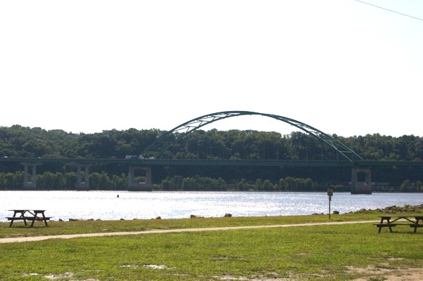
The view from the park is obviously from a different perspective. Although the views are pretty, they are not as dramatic as the view from the bridge. Speaking of the bridge, here it is. |
|
|
The thing about going off route to take pictures is that you have to find your way back onto the expressway and trust me, that's not always easy. My new GPS (aka Jeep) has been invaluable on this trip... |
|
|
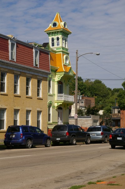
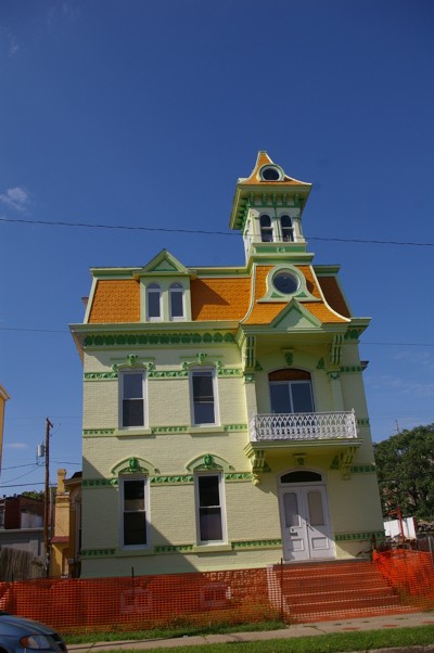
... but sometimes it takes me on big detours. These detours have their advantages. I would never have seen this cool house had I stayed on route. |
|
|
Another view |
|
|
No idea what this building is but it gives unexpected detours another "thumbs up". |
|
|
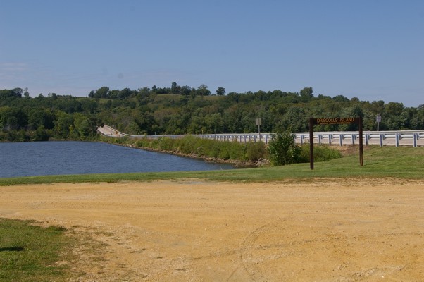
Halfway across a causeway which leads you to an big island on the Mississippi... |
|
|
...you arrive... |
|
|
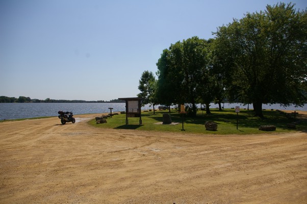
...at a small picnic area called Driscoll's Island. |
|
|
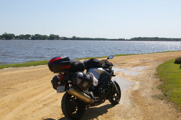
I drove the rest of the way across the western half of the Mississippi to check if the ferry rides being offered from the island proper would take me and my bike across the eastern half of the Mississippi. (The bridge over the east half if the river was closed.) Nope. People only. |
|
|
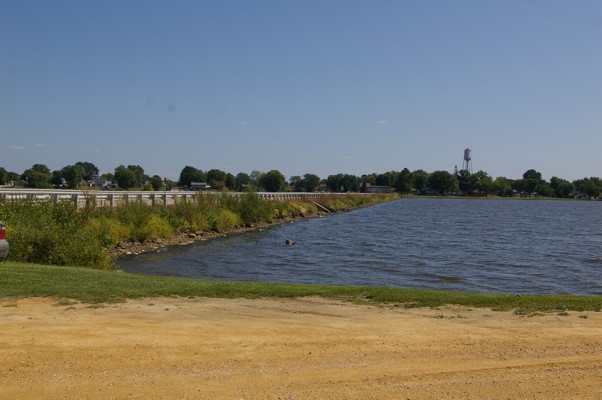
That meant I had to drive further south to cross the river, so it was back across the same causeway to get to Clinton. |
|
|
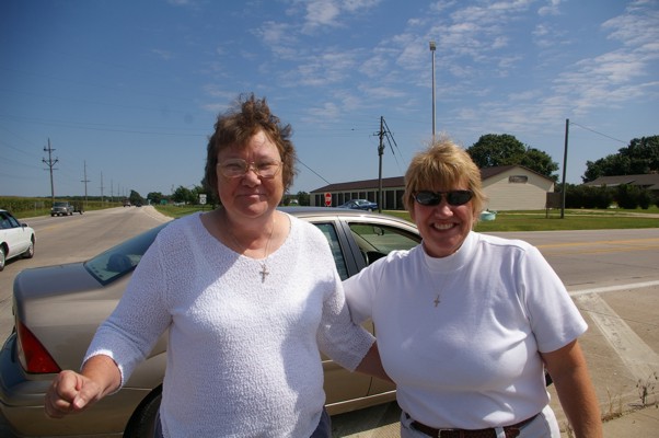
I had trouble resetting "Jeep" to take me as close as possible to my original route. It's strange relying on a GPS to take you where you want to go. You blindly follow it then it's hard to match up the new direction with your paper map. You're not quite sure it's actually leading you in the right direction. Lucky for me, these two lovely ladies stopped to assist me! |
|
|
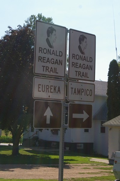
Once the ladies sent me along the right road, I came to ANOTHER closed road. Luckily, the detour made sense this time. The detour took me through Dixon which is famous, I learned, for what, ladies and gentlemen? |
|
|
After using so many back roads, I was actually glad to get on an Interstate to make up some time... yeah, right! It's construction season everywhere. |
|
|
I was stuck on the interstate for quite a while. Just when traffic started flowing, it was time to get off that road and head south to visit Ottawa?! |
|
|
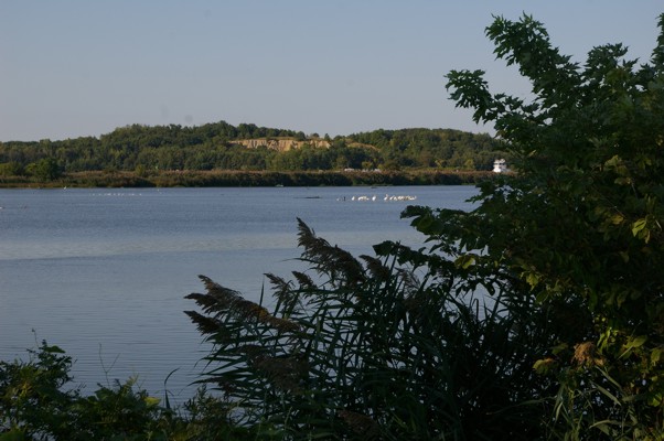
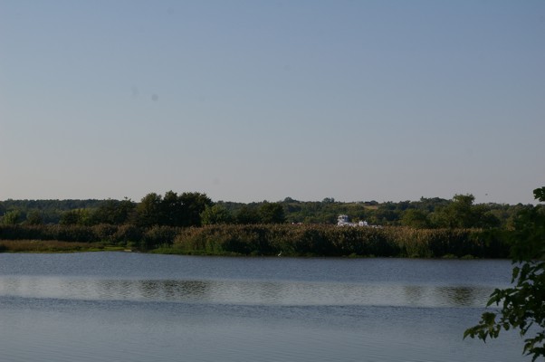
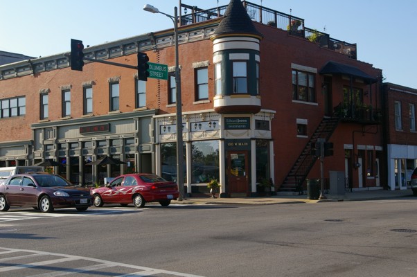
Nope, I still haven't gotten to the Canadian Ottawa, but Ottawa, Illinois, and its surrounding area are beautiful. |
|
|
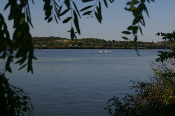
A relaxing view. |
|
|
|
|
|
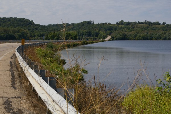
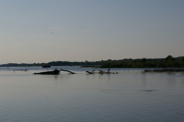
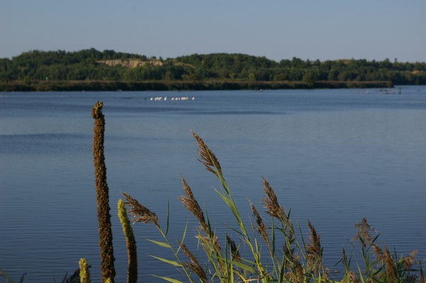
If you look carefully behind the river island, you can see the navigator's cabin of a barge that was moving down the river. |
|
|
There was some kind of fishing trap in the water and these gulls knew where to get an easy meal. |
|
|
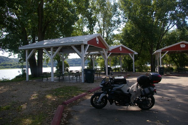
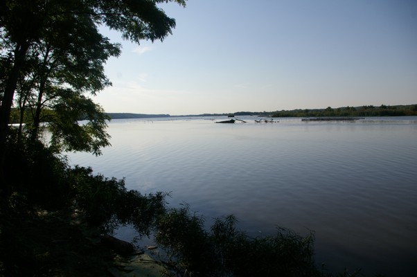
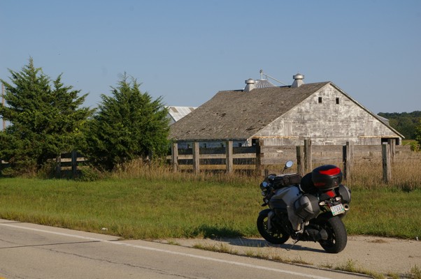
This picture shows you that the other side of the road was just as scenic (especially with my bike there!). |
|
|
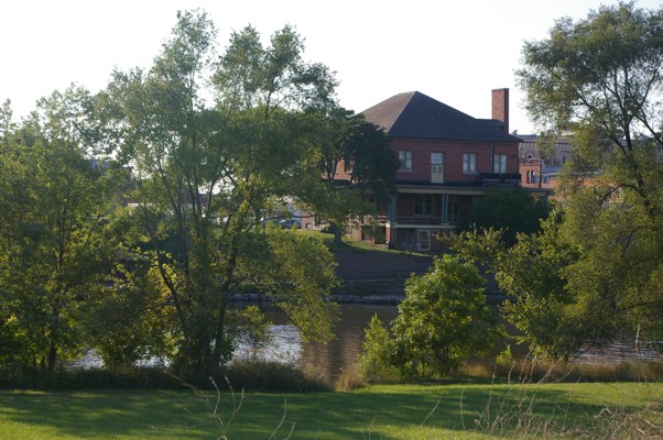
First view of Ottawa city. |
|
|
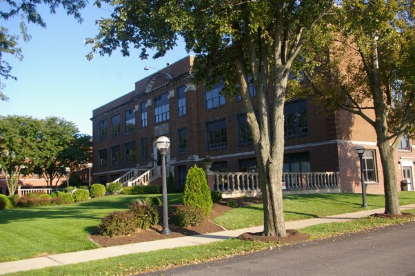
Ottawa High School |
|
|
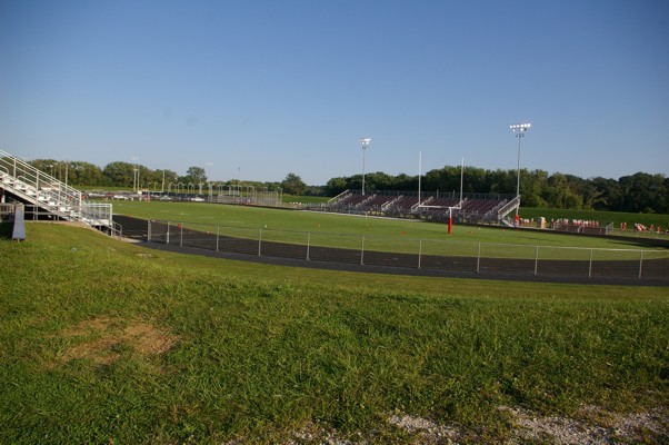
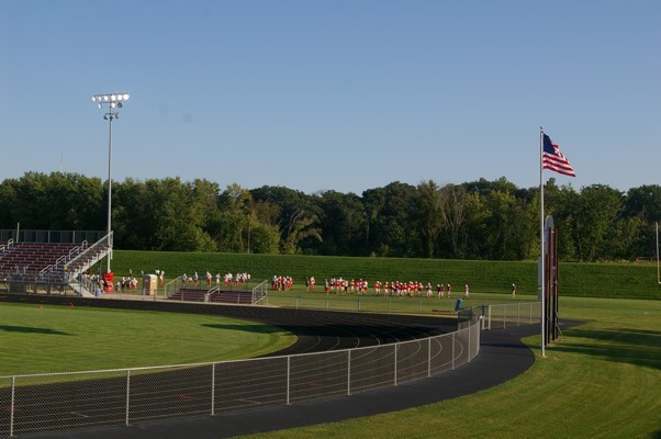
The school's football stadium/track. |
|
|
The football team practising. I thought of my old school's team and how they'd love to have half the facilities that this school does and also half the number of players trying out for the team. |
|
|
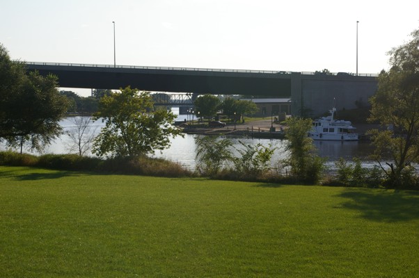
A view of the bridge that brought me into Ottawa. A dike surrounds the football field (but only part of the school - haha!) because the school is actually on a bit of an island/peninsula. |
|
|
Yet another view. |
|
|
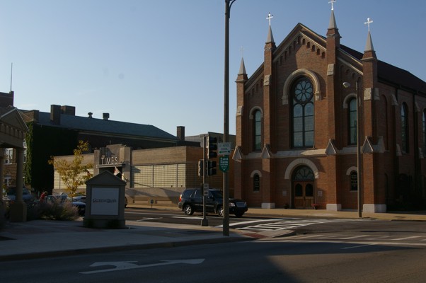
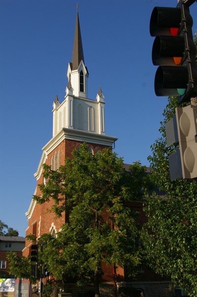
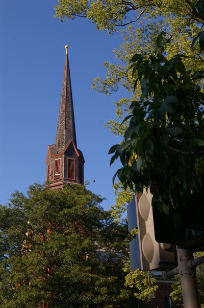
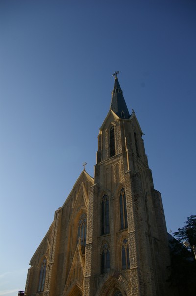
Once back on the "mainland", I travelled down a street where there were 4 churches within two blocks. Here's #1... |
|
|
...#2 |
|
|
...#3 |
|
|
...#4 |
|
|
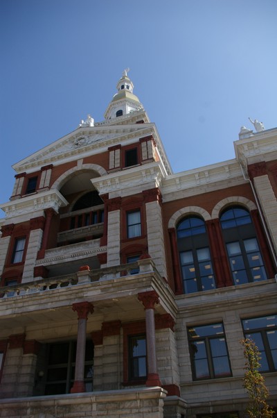
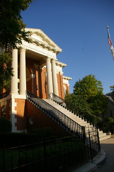
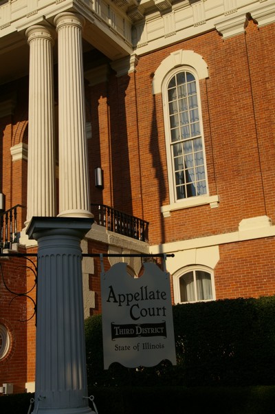
There was also a beautiful court building... |
|
|
... |
|
|
...and visitor centre thrown in for good measure! It was time to push on. I travelled east through the Kankakee River district which was really beautiful but I dared not stop to take pictures because the sun was getting low in the sky. I arrived at Kankakee and when I gassed up, I realized I needed to travel secondry roads to get to Indiana. Once on this convoluted route to Interstate 65, the sun completely down, no one (and nothing) in sight, I made a very scarey journey to Rensselaer where I was glad to set up shop for the night!!! |
|
|
Map of Day 3 to left. |